
From the peaceful Sauer to the exhilarating “Molberlee” via the “Napoleonsknäppchen” and the “Finger of God”, this is a brutally beautiful tour over some of the lumpiest terrain in Luxembourg.
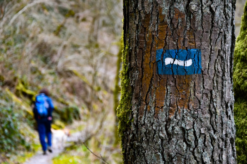
Parking available near the starting point at the southern end of the Lipperscheid Tunnel (N27).
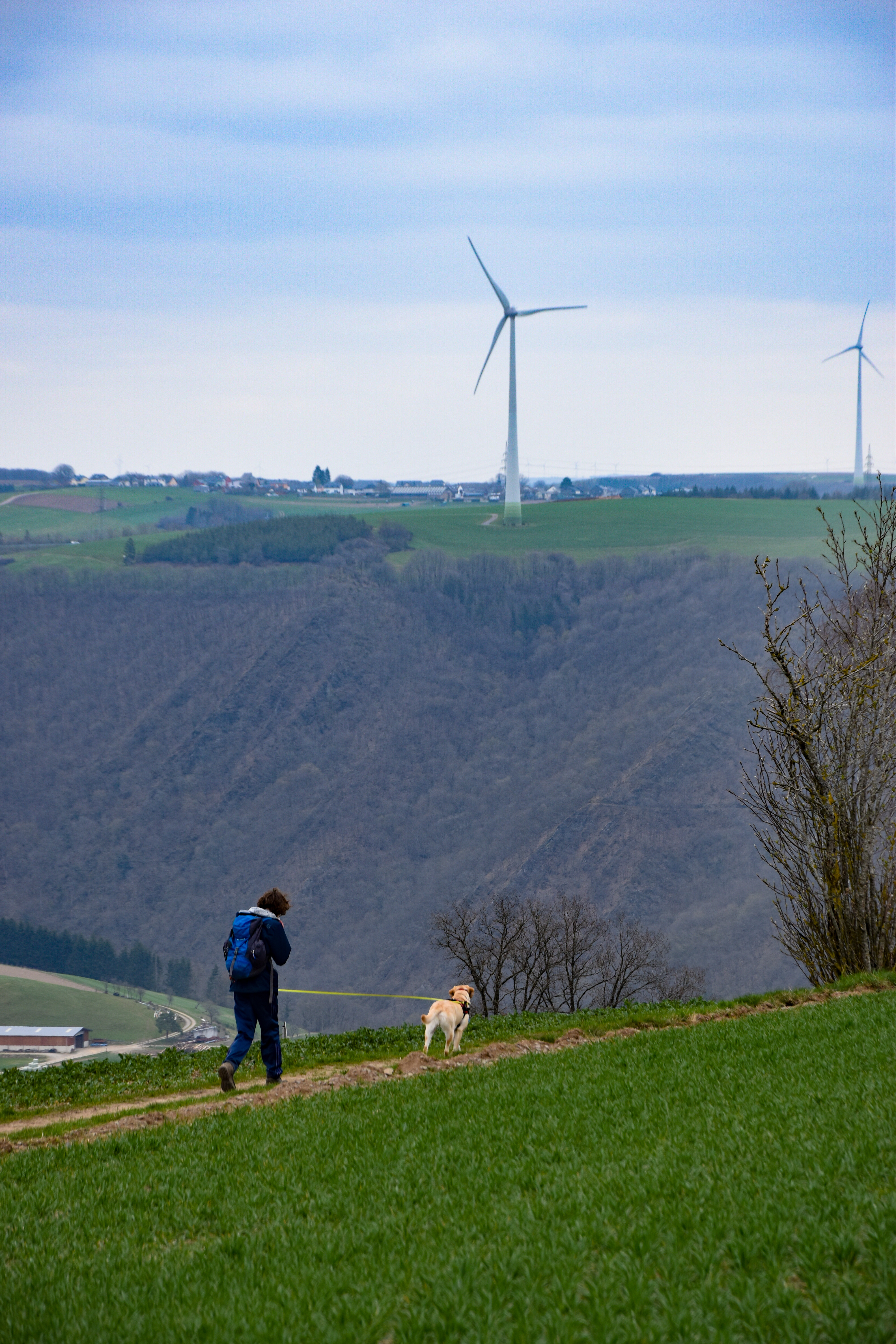
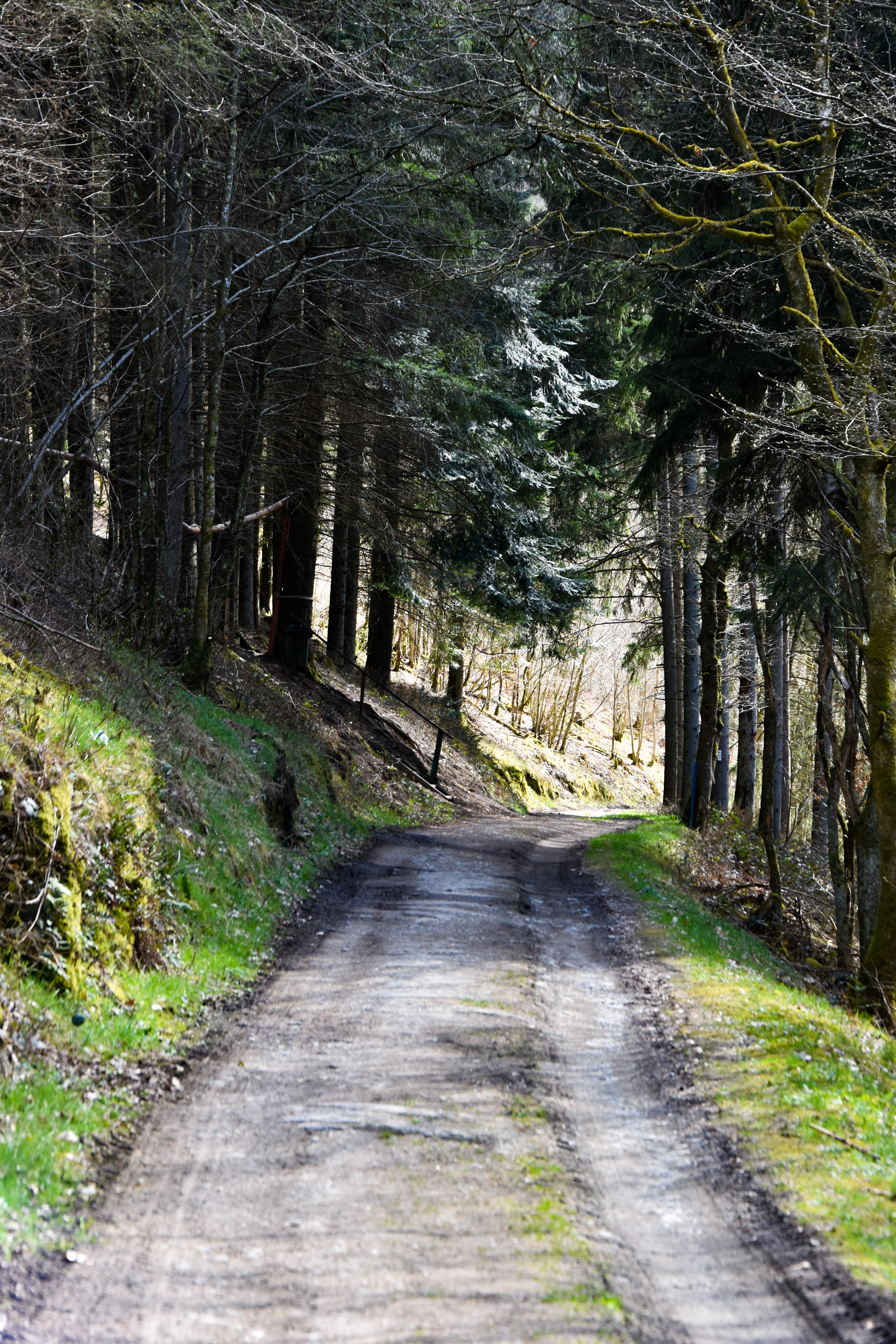
There are no real “mountains” in Luxembourg, but the climb up from the Sauer (220m) over the Napoleonsknäppchen (505m) and back down towards the Sauer again on the Escapardenne Lee Trail Stage Two is probably as close as you’ll get, and a lung-busting beginning to this demanding hike.
The path down the mountain is arguably more interesting than the way up. For example, as you approach the rather unLuxembourgish village of Dirbach, there’s a remarkably pretty viewpoint over the hobbit-like hills of the Eislek.

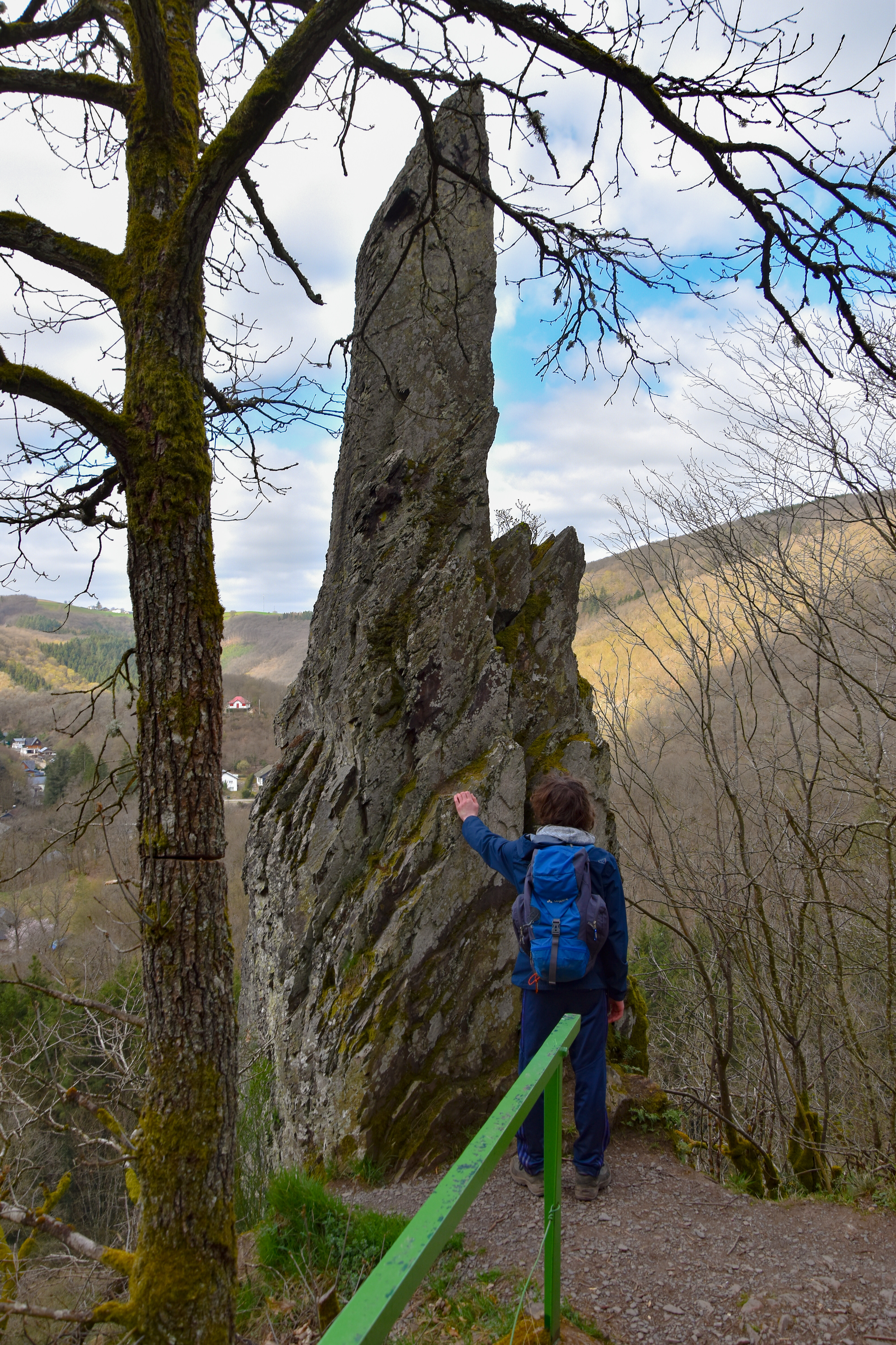
Then, a few hundred metres later, the path winds its way through the rocks, taking in a weird formation colloquially known as the “Finger of God“, pointing heavenwards from the valley below.
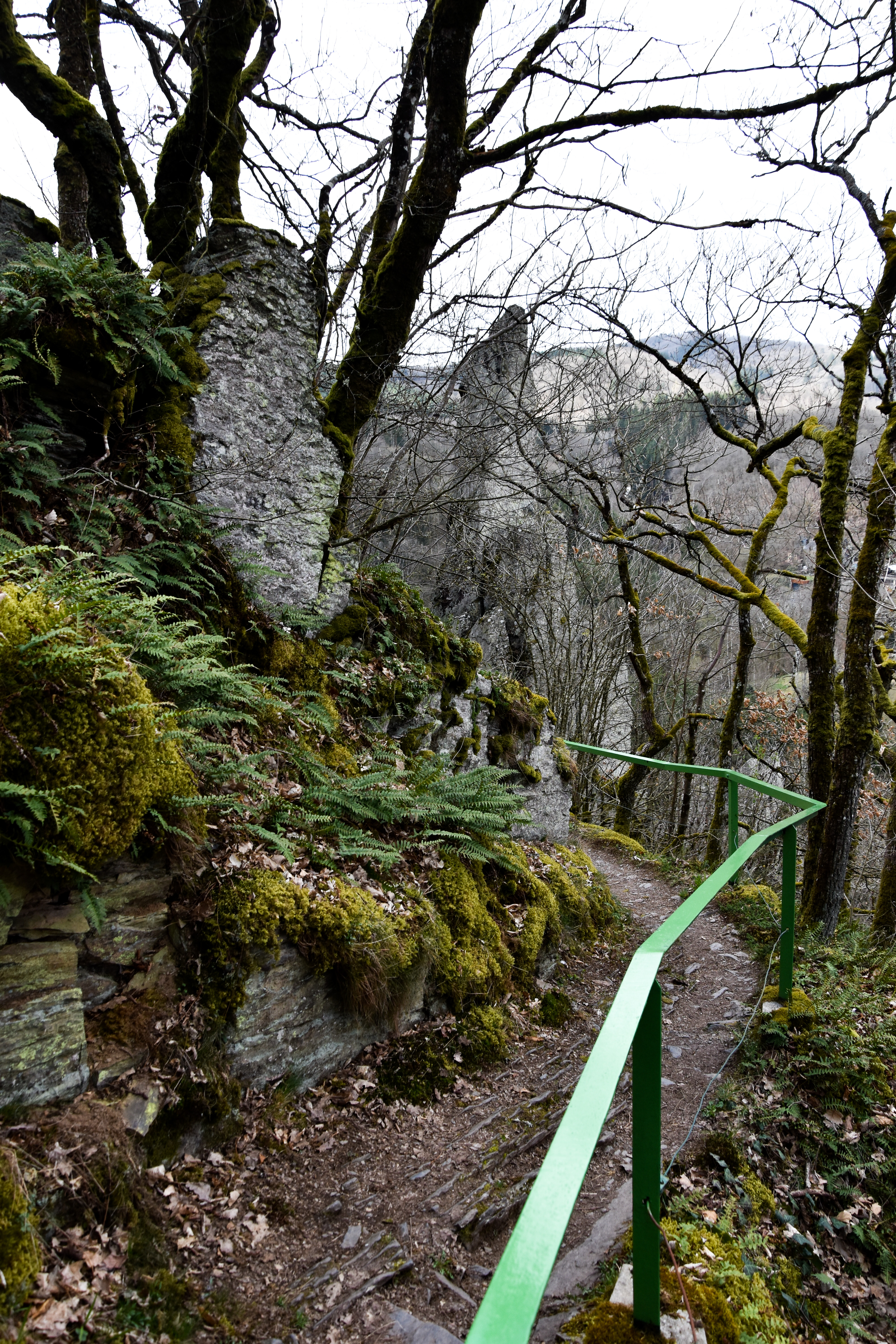
Safely down in Dirbach, the trail takes an unexpected turn over the river, somehow finding some space between rock and water that really ought not to exist. Once out of the village, it then continues along its more familiar pattern of valleys and “lees” – the Luxembourgish word for narrow, rocky ridges – with some punishingly steep sections interspersed with welcome flatter terrain along the valley floors.
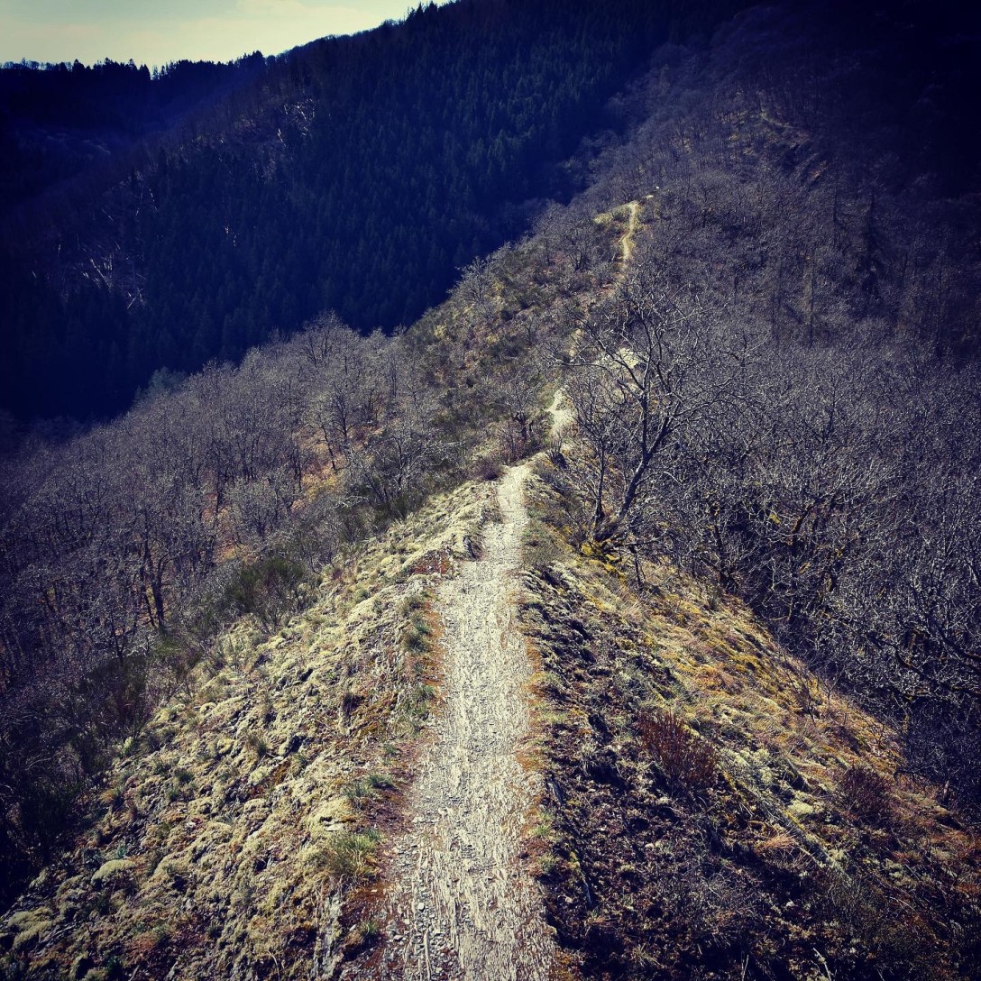
But these minor “lees” are all merely supporting acts for the big one, the headliner, the superstar “lee” to eclipse all others – the Molberlee.

It’s a big claim, but I’m going to make it anyway: I think that this is the best 1.5km of hiking trail anywhere in Luxembourg (the Mullerthal Trail near the “Kohlscheuer” in Consdorf may disagree…). From the peaceful Schlinder valley, the path rises and twists steeply, quickly soaring above the forest and onto a magnificent knife-edge slate ridge.

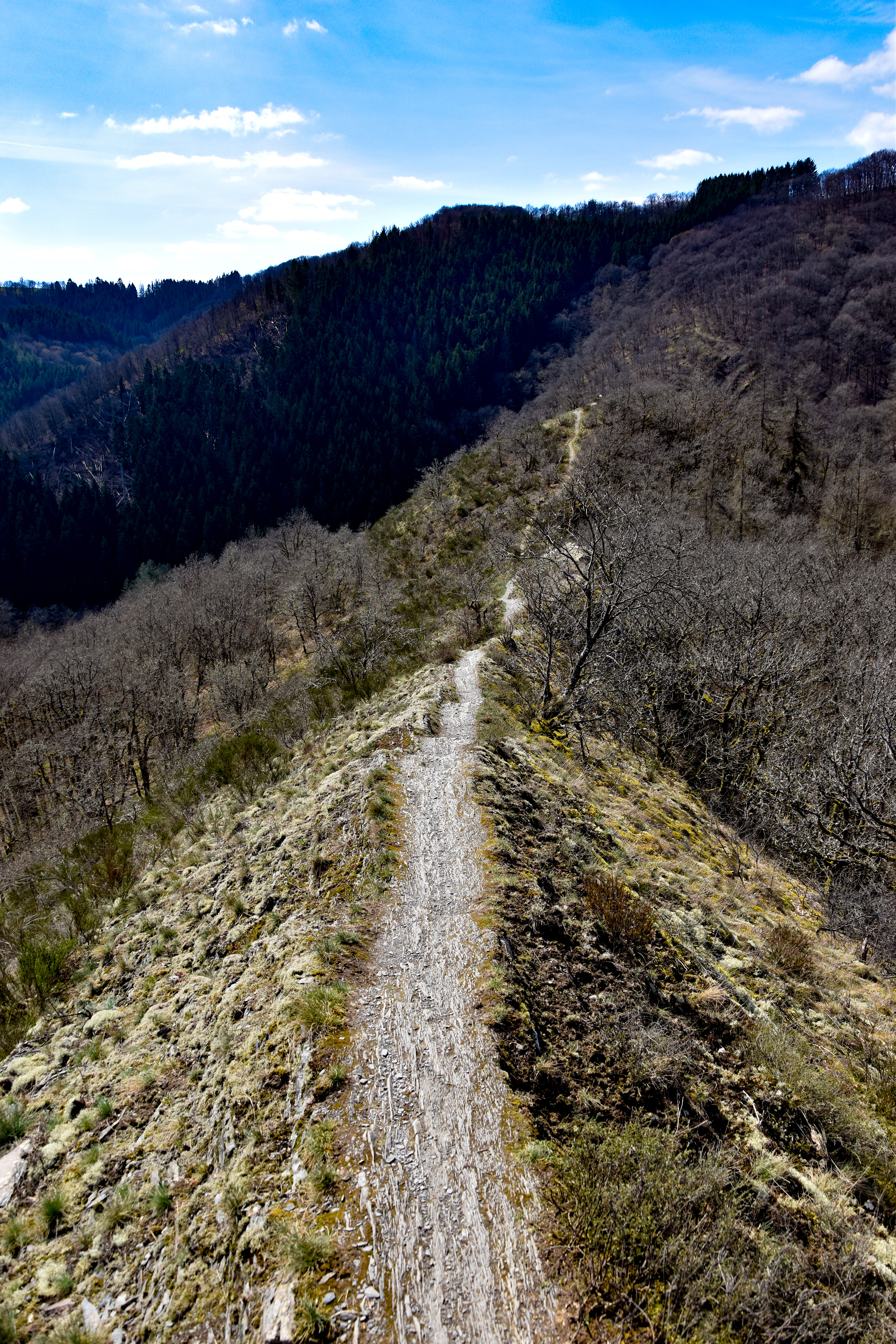
It’s a genuinely spellbinding, sense-awakening, gasp-exalting landscape, quite unlike anything I’ve ever seen or hiked on before. After the initial sharp climb out of the forest, the ridge/trail dips and bobs for a while like the spine of a sleeping dragon before beginning a final, exhilarating ascent up towards the end of the stage in Hoscheid.
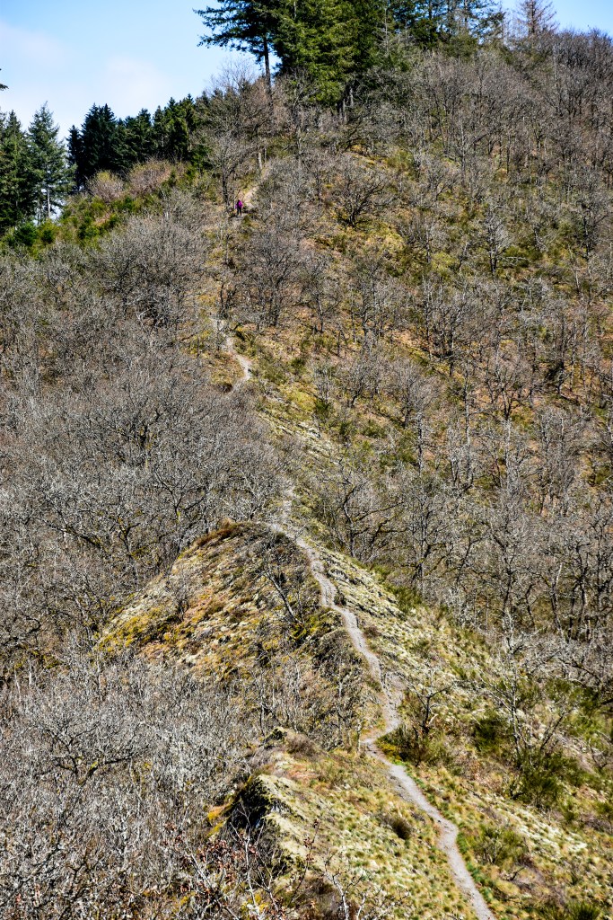
TIP: You can also hike the Molberlee on the Auto-Pédestre “Hoscheid” trail. However, that route takes you DOWN the lee; the Escapardenne takes you UP it, which is much less dangerous and infinitely more enjoyable.
Stage Three has had to be put on hold due to the recent unwelcome return of winter (seriously folks, don’t try the Lee Trail in icy, windy weather…), but we’ll be back pounding the paths again tomorrow. If it’s even half as spectacular as the Molberlee, we’ll be in for a real treat.
TIP: At the time of writing, there is no direct public transport between the start and end points of this stage. However, it is an easy five-kilometre hike back from Hoscheid to the aforementioned parking between Lipperscheid and Bourscheid Moulin. Route details available here.
(c) 2021 Jonathan Orr
