
It’s the shortest stage of the Escapardenne Lee Trail but probably the most demanding, with plenty of climbing and steep, technically difficult downhill sections on outrageously spectacular “lees” (rocky outcrops). Is there a tougher 15km anywhere in the country?
Not advisable in wet weather – Physical fitness and appropriate footwear required – Take extra water on warm days (there is nowhere to refill en-route).
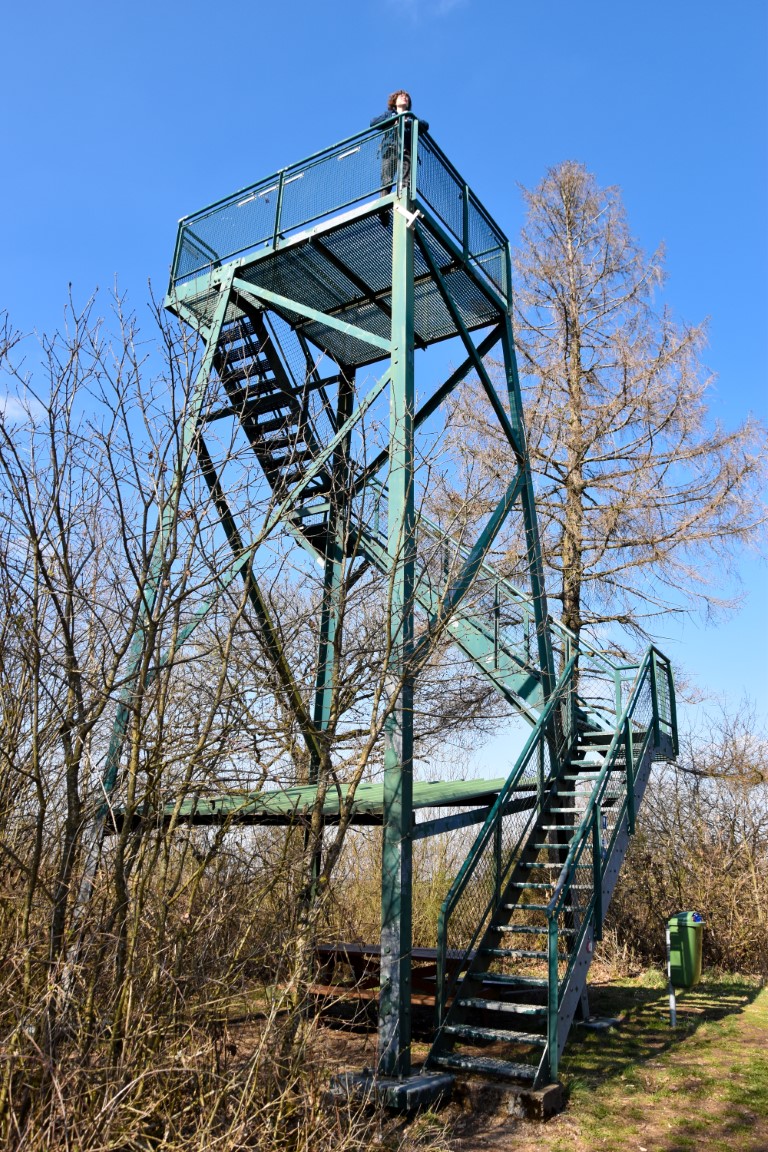
Giant windchimes gently tinkle and giant windmills silently turn in the fresh breeze. We haven’t hiked more than a few hundred metres on the Hoscheid plateau, but we are already at the highest point for today.
You see, this stretch of the Escapardenne Lee Trail is not defined by its uphill sections (although there are also plenty of those), but by its four brutally beautiful descents, each one tougher than the one before.
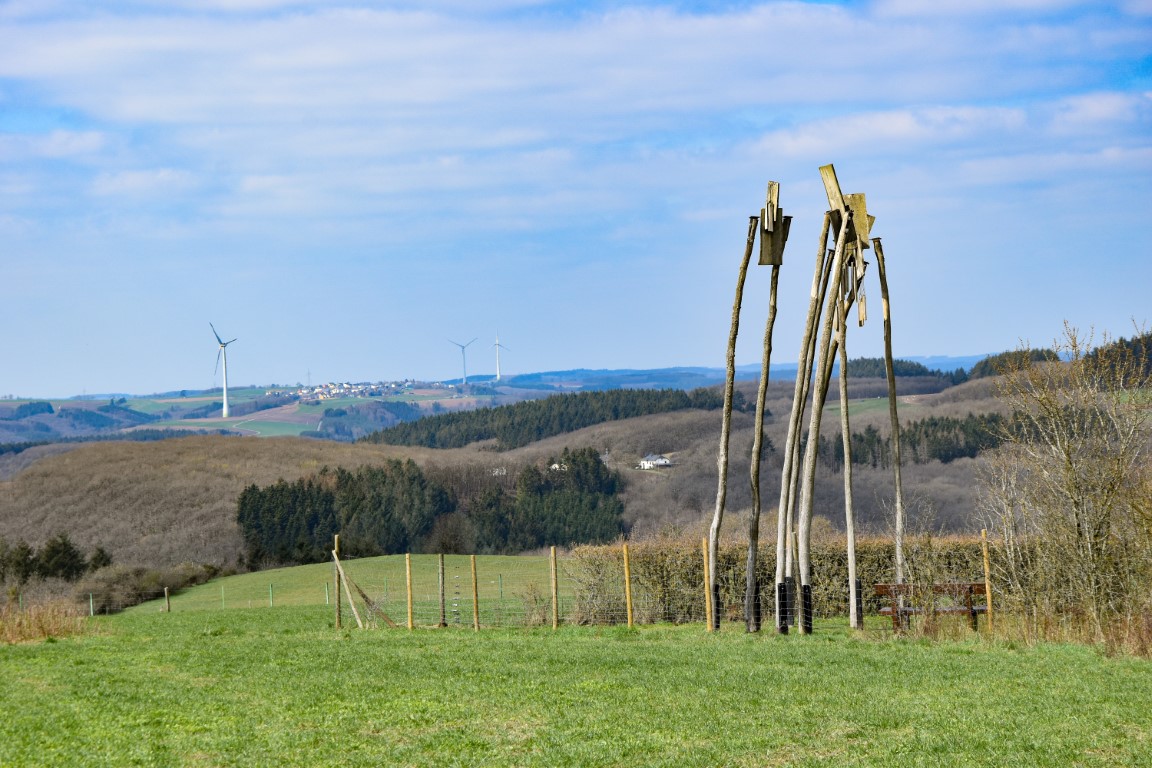

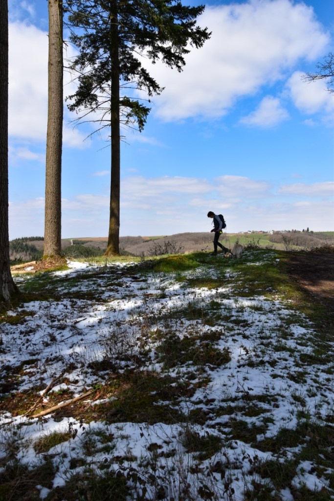
The first descent – past the wooden sculptures and sound games of the Klangwanderwee stations – was soon conquered, and the first climb of the day – up the Fiederbierg – immediately commenced. We had planned on doing this stage on the previous day, but had to cancel due to heavy snow, some of which still lingered at the summits and deep in the shady gullies.
Safely down in the absurdly beautiful Schlënner valley, and it was time for lunch at a spot we already knew well from previous hikes – the St Michel Chapel: a whitewashed fairy-tale in the woods.
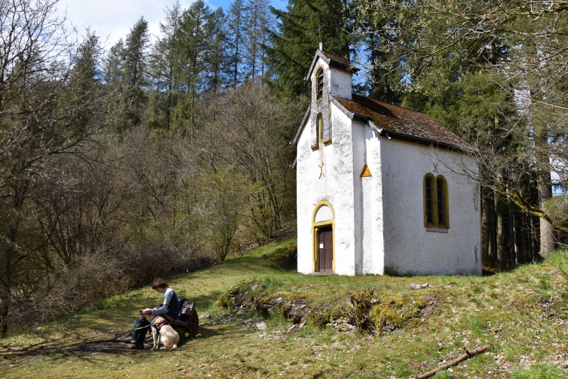
TIP: You cannot get inside the chapel, but you can see the interior through two handy “peepholes” in the doors.
From here, the trail rises once again, giving one last look back at the undisputed star of Stage Two – the awe-inspiring Molberlee.

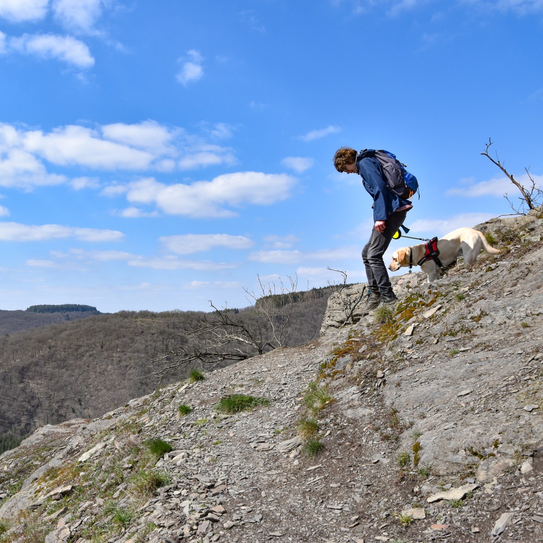
But Stage Three of the Escapardenne Lee Trail has its own star, and after a long climb up and over the Héischt hill you soon get to experience… the fearsome Hoflee.

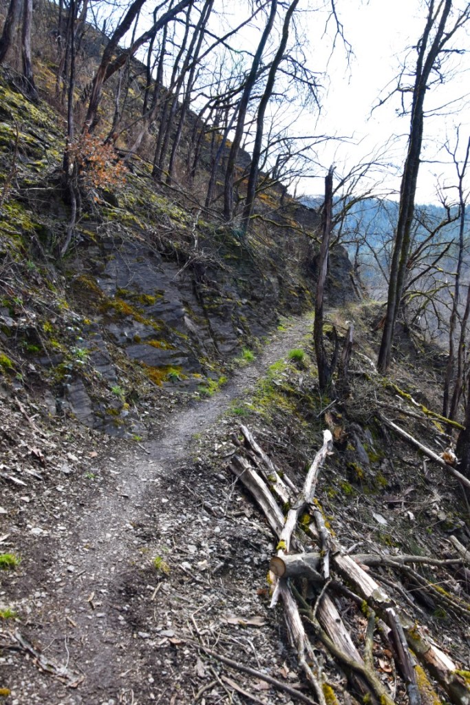
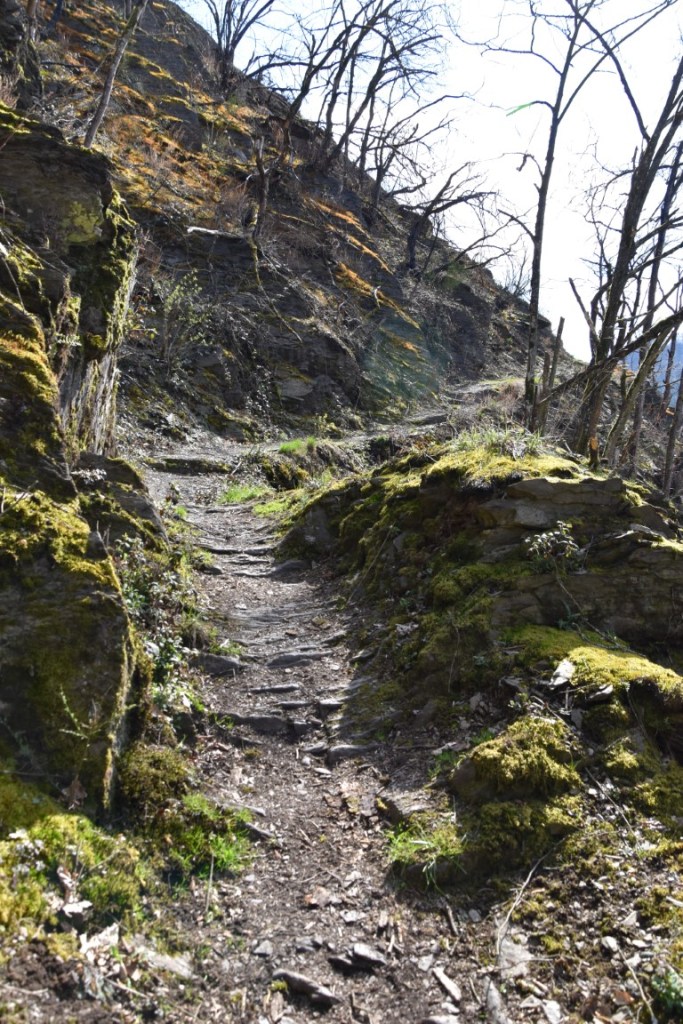
For several hundred metres, this sliver of slate serpentines down the hillside at gradients of over thirty(!) percent, with sheer drops waiting for anyone who cheaped out on their hiking boots (it loses altitude so quickly that your ears will probably pop!). A forest fire in summer 2018 has turned the trees into blackened silhouettes, lending a ghostly, eerie feel to the already-spectacular scenery. Even when the gradients ease, the trail remains brutally beautiful all the way down to the burbling streams of the Géischelter valley.
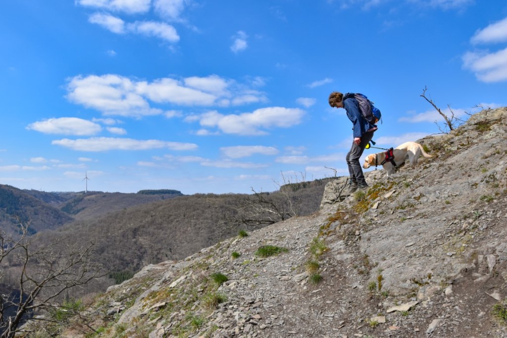
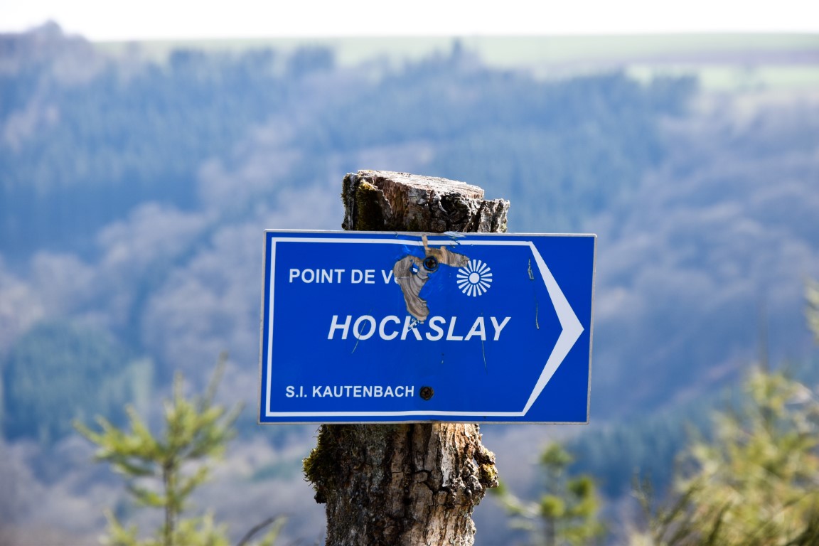
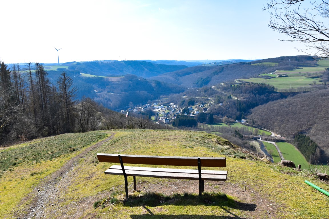
The descents may be short and sharp, but the uphill sections are long and relatively gentle – a respite for the knees. We seemed to reach the next viewpoint – the Hockslee – rather quickly, and from this rocky perch above the Wiltz valley one can already see the destination for the day: Kautenbach.


But instead of going down, the path continues gently upwards. Up, up and over the highest point since leaving Hoscheid – the “Ueweschleed” – and another, prettier-but-unnamed viewpoint overlooking Kautenbach, with the Schuttberg castle looming in the distance.
From this point it becomes a question of “getting the job done” as you descend the final arrow-straight and predictably steep “lee” towards Kautenbach, a modest village which still manages to boast a hotel, a campsite and a train station. It is here, also, that the Lee Trail ends and the Eislek trail commences – 105km of hills, forests and villages all the way to La Roche-en-Ardenne in Belgium.
Next stop – Clervaux!
(c) 2021 Jonathan Orr
