
- Park and start by the church, Lisseneck, Hoscheid
- Public transport: “Hoscheid Kreizgaass” – Bus 137 & 170 from Ettelbruck / Hosingen
- Challenging 11.5km hike on varied terrain and with over 500m altitude gain.
Climbing the “Molberlee” might just be the most exhilarating and spectacular hiking experience in Luxembourg. This trail takes you on a tour of a quasi-mountainous landscape just a short hop away from Ettelbruck, cumulating in a lung-busting ascent of this country’s most famous “lee” ridge.
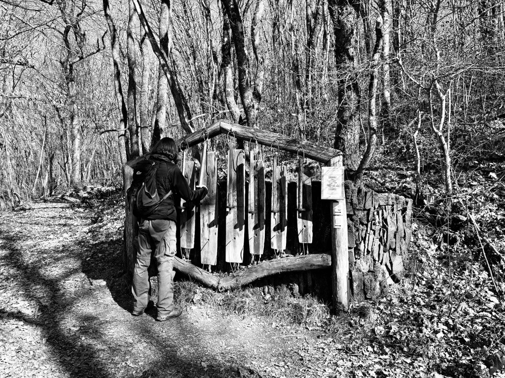
I’m going to be frank: if you’re a fan of flat, even surfaces then this hike isn’t for you. Almost immediately after leaving the peaceful streets of Hoscheid, the trail dips abruptly down, down, down, all the way to the bottom of the Schlennertal valley. At this point of the hike, you are following the quirky and fun “Klangwanderwee” (“Sound Trail”) and there are plenty of musical diversions waiting for you in the woods. Then follows a brief respite for the knees as the trail follows a picture-perfect stream bubbling and babbling its way towards the Sauer river beyond the steep, wooded hills.


Over a bridge and you’re climbing steeply upwards for the first – but certainly not last! – time, past a raucous husky farm (who knew Luxembourg had one of those?!) and through the sleepy village of Schlindermanderscheid. At this point, you probably haven’t enough oxygen left in your lungs to say “Schlindermanderscheid”, but mercifully the path levels out (a bit…), meandering back into the whispering Eislek woods.
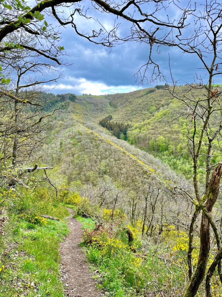
After a few kilometres the hike’s main attraction – the Molberlee – comes into view through the trees like the backbone of a fearsome dragon rising from the valley floor (photo taken in April 2024):
But you still have some way to go before you get there, yet more descents and ascents, over the stream again and past a pretty little chapel calling you to stop and rest for a while, to gather your energy for the final push back up to Hoscheid.


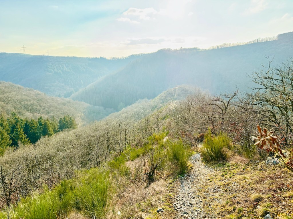
And what a “push” the Molberlee is! It may be just over 600 metres long, but, my goodness, this is arguably the best half-kilometre of hiking trail anywhere in Luxembourg. The comfortable world of forest and streams seemingly disappears under your feet, leaving only an exposed, narrow slate ridge and wind-beaten bushes for company. Upwards you climb, quickly, towards the level of the surrounding hills, rising brutally some 140 metres at an average gradient of well over 20%.

(Molberlee elevation profile. Source: Geoportal.lu)
But the effort is absolutely worth it. After having reached the top and stumbling in slow motion back towards the starting point, the other-worldly views of the Molberlee will still be with you, and will likely remain with you for a very long time afterwards.


- Official trail information can be found here: https://www.visit-eislek.lu/tour/eislek-pad-hoscheid-1
- Map on Geoportal: http://g-o.lu/3/JXBJ
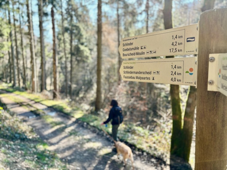
- Follow this well-marked sign:
(c) Jonathan Orr 2025

[…] Eislek Pad Hoscheid – 11 km – Challenging […]
LikeLike