
- Calm and richly-varied 6km trail on the edge of Luxembourg City.
- Showcases mind-blowing Gallo-Roman engineering and the “Sonnebierg” nature reserve.
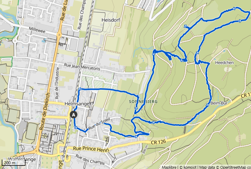
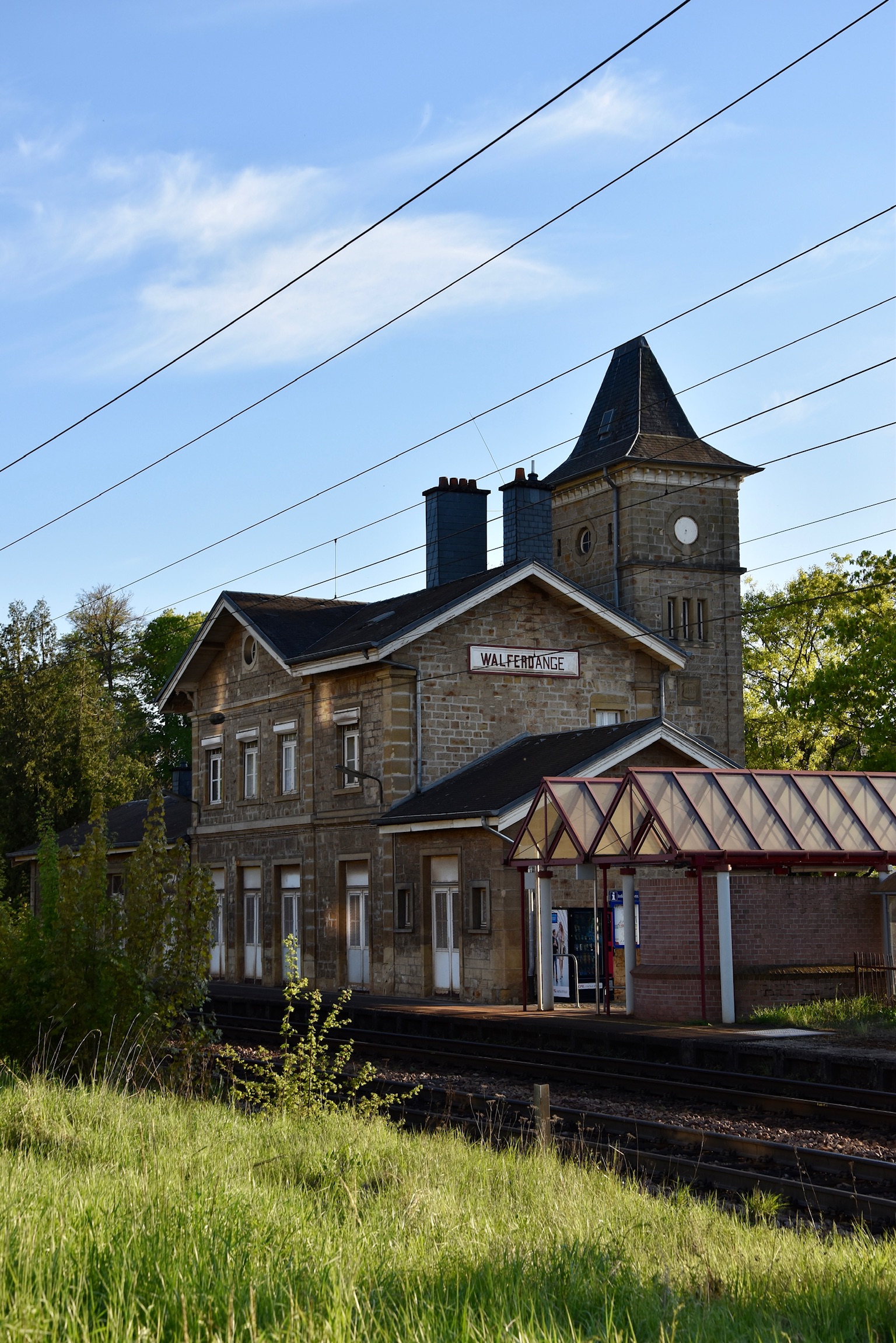
- Start directly from Quai 2 of Walferdange Train Station. Parking available.
Did you know that Luxembourg has an underground Roman aqueduct? In fact – and be honest – did you even know that there is such a thing as an “underground Roman aqueduct”? I didn’t, but this was only one of my discoveries on this serene and easily-accessible trail on the outskirts of Luxembourg City.
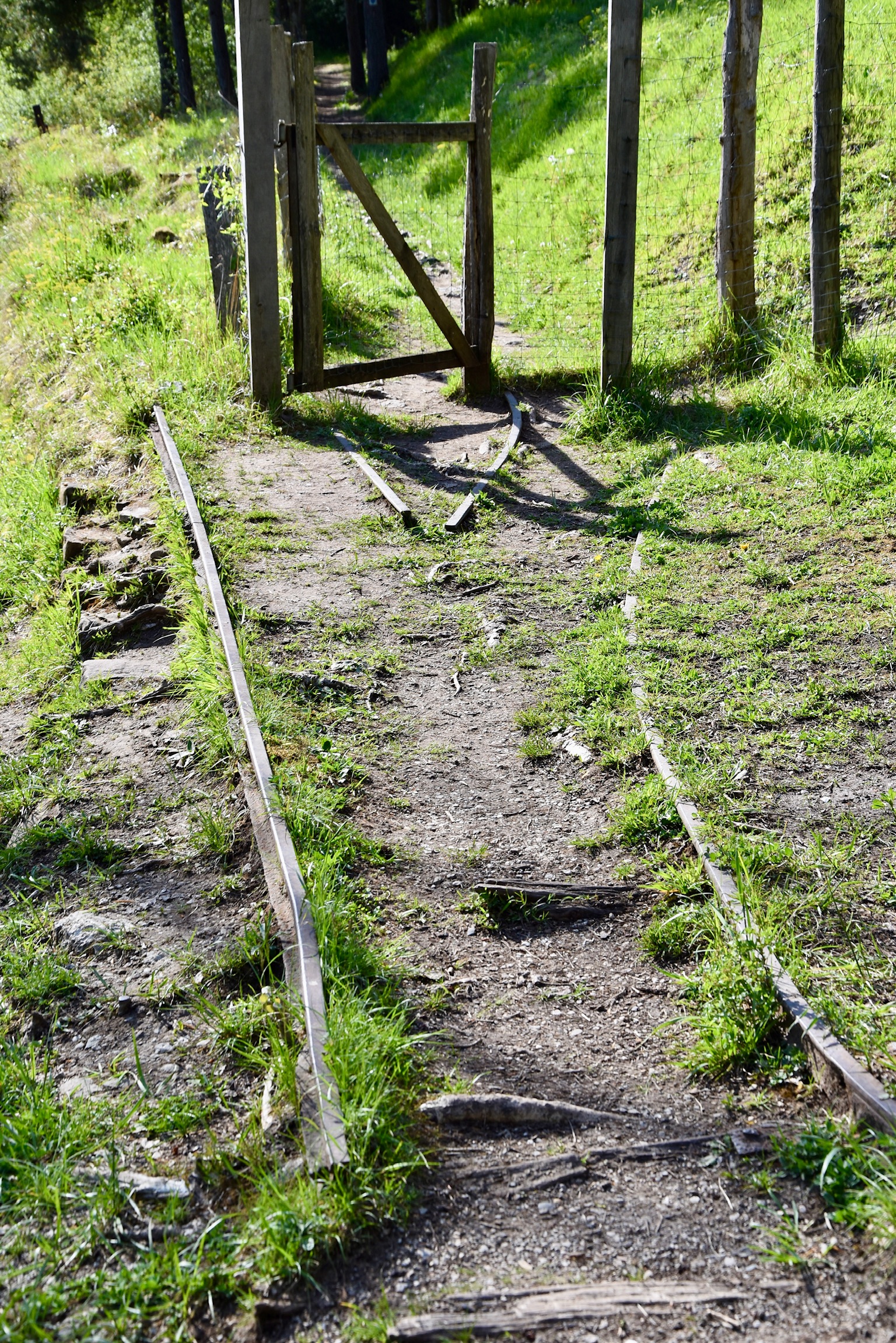
Your hike starts at Quai 2 of the railway station, from where you can already see the trailhead information board. All fuelled up with the necessary info, head off in the recommended anti-clockwise direction, first through the streets of Helmsange then into the gated segments of the Sonnebierg nature reserve. Along the way you’ll pass what’s left of an abandoned gypsum mine; look carefully and you’ll spot the mine entrance and even traces of the old railway tracks and silos.
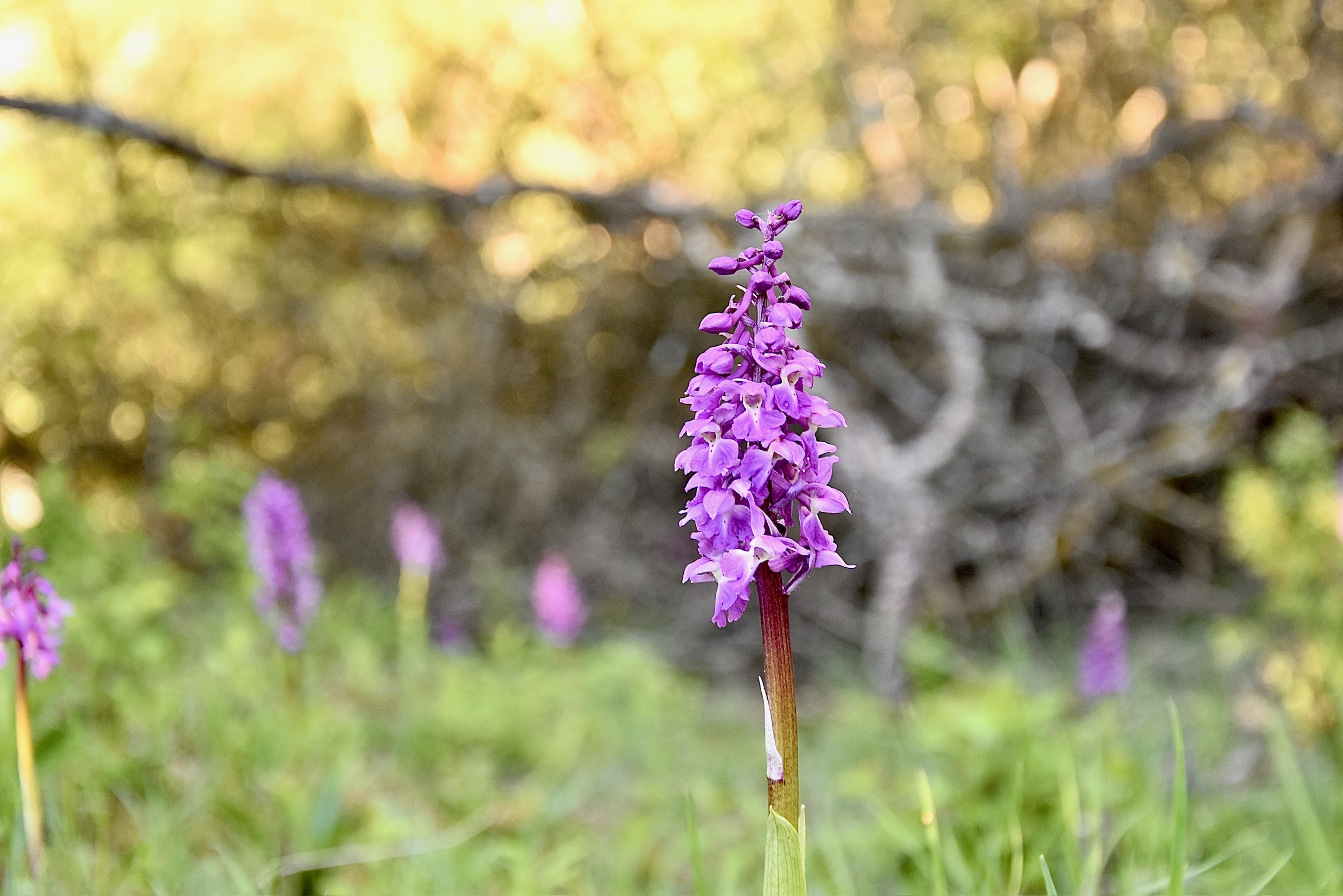
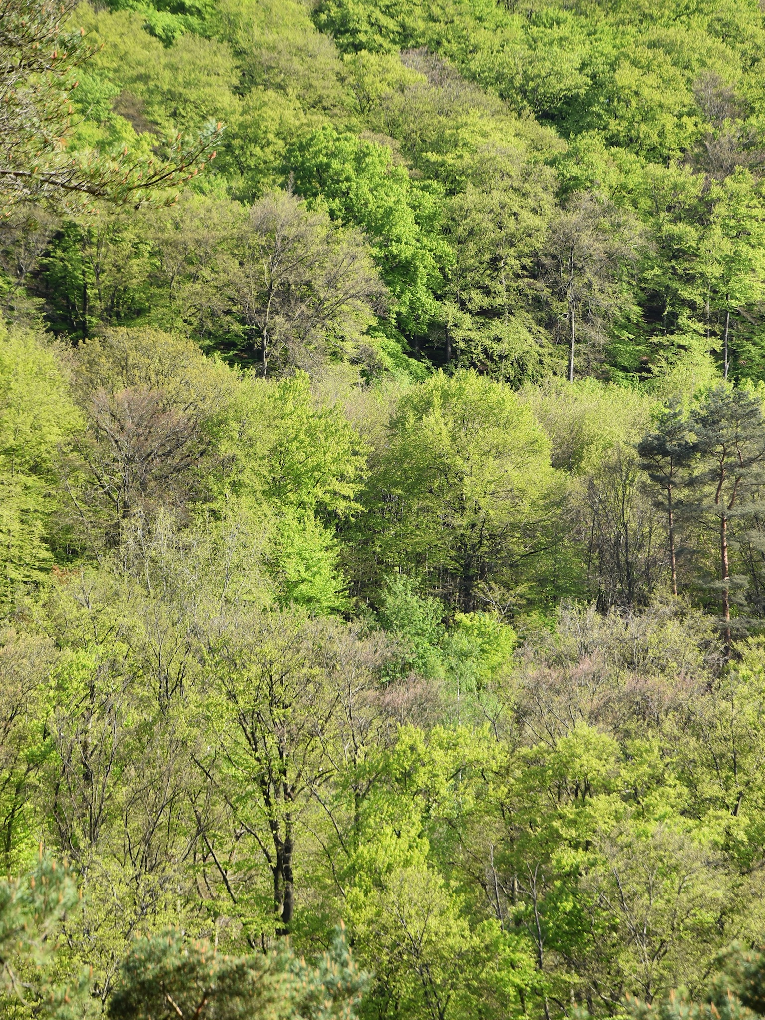
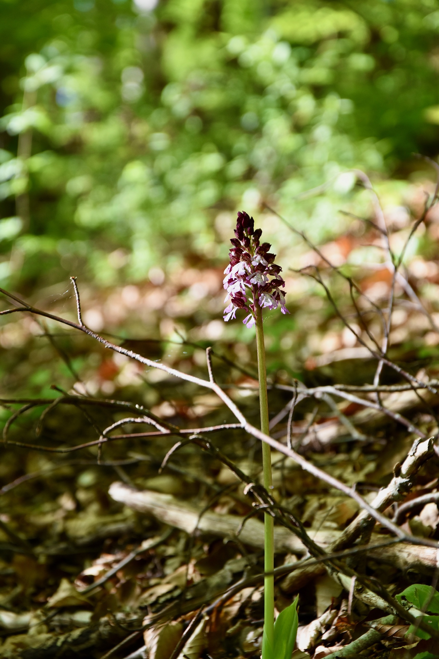
Founded in 1987, the Sonnebierg clings to the steep sun-soaked hillside between Helmsange and the expanses of the Grünewald forest. You’ll re-enter it again later in the hike, and it’s a glorious spot for slowing down and taking in the views over the Alzette valley, revelling in its rich biodiversity. Orchids are among the most capricious of wildflowers, but they can be found here in joyful abundance.
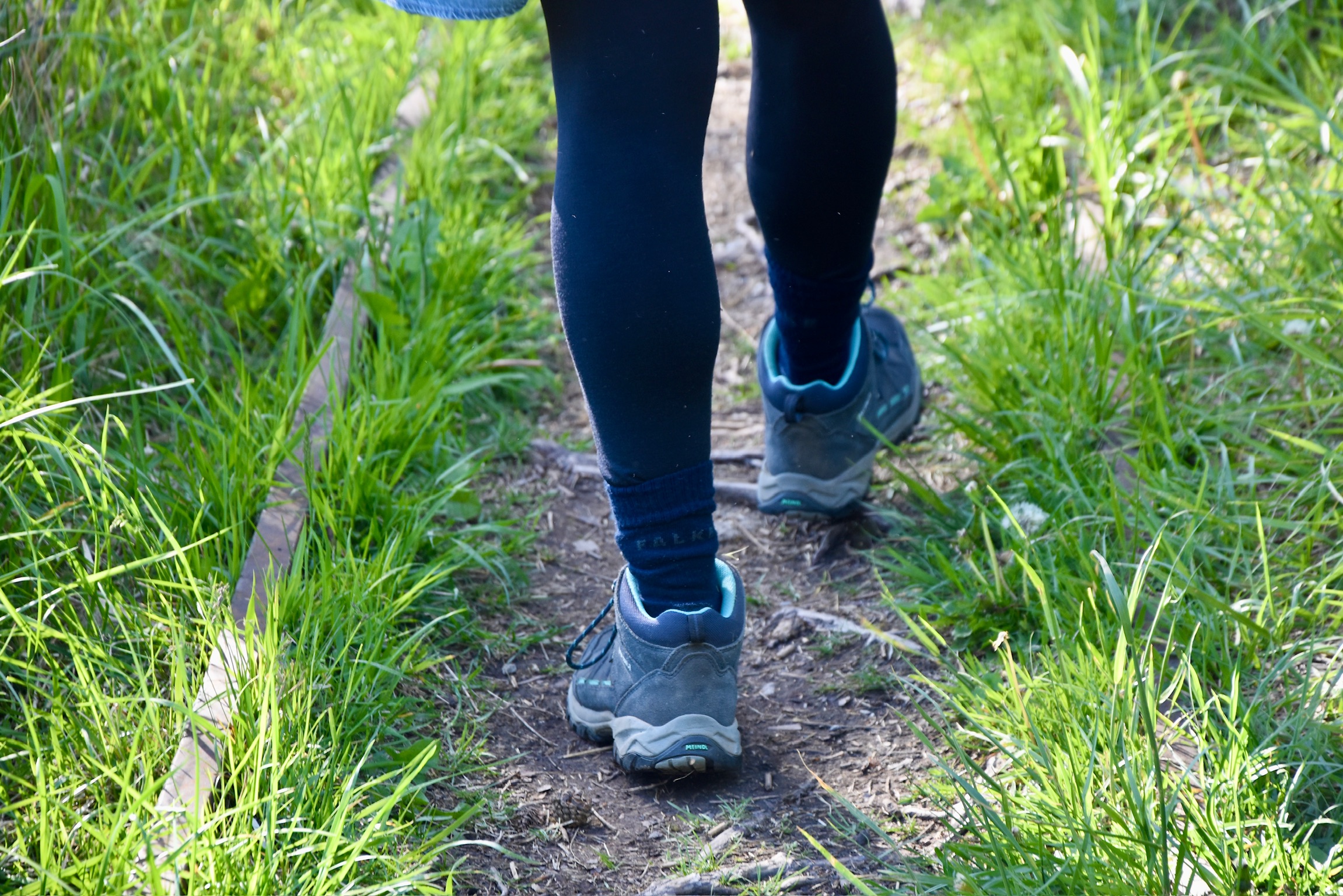
By the time you enter the forest, you will have been steadily and constantly climbing. Although not difficult, do not underestimate the physical challenge of this trail, which crams approximately 200m of altitude difference into its short 6km length. And the high point of trail – literally – is reaching the Raschpëtzer aqueduct itself.
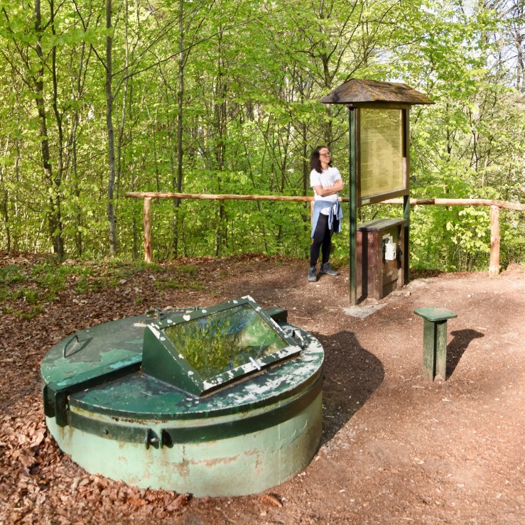
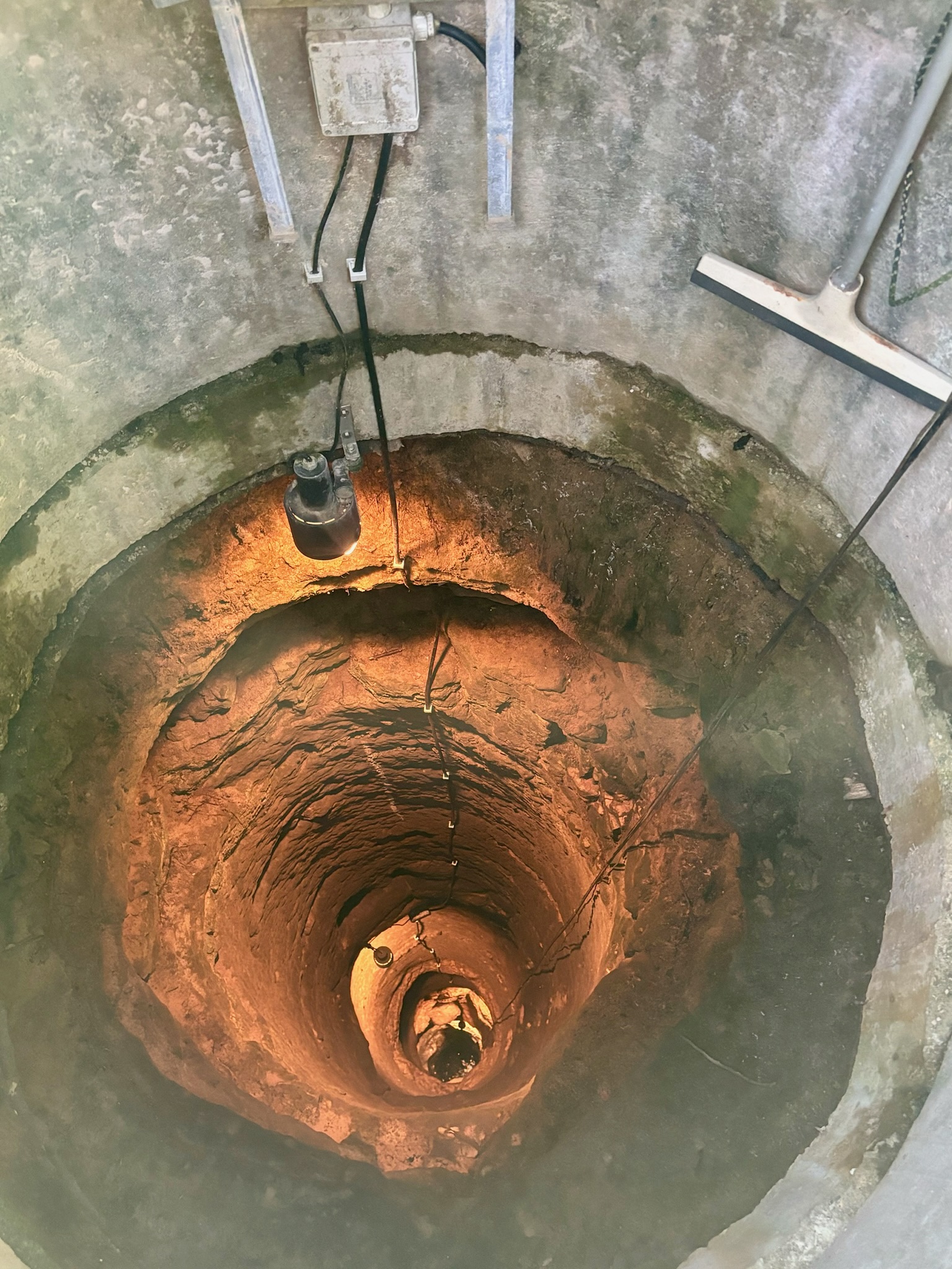
One tiny problem with a blog article about an underground aqueduct – and, I’m going to be honest again: I didn’t see this one coming – is that it doesn’t make for great photos. As impressively mind-blowing as the Raschpëtzer is, the fact remains that this masterpiece of Roman engineering is, well, thirty metres under the ground…
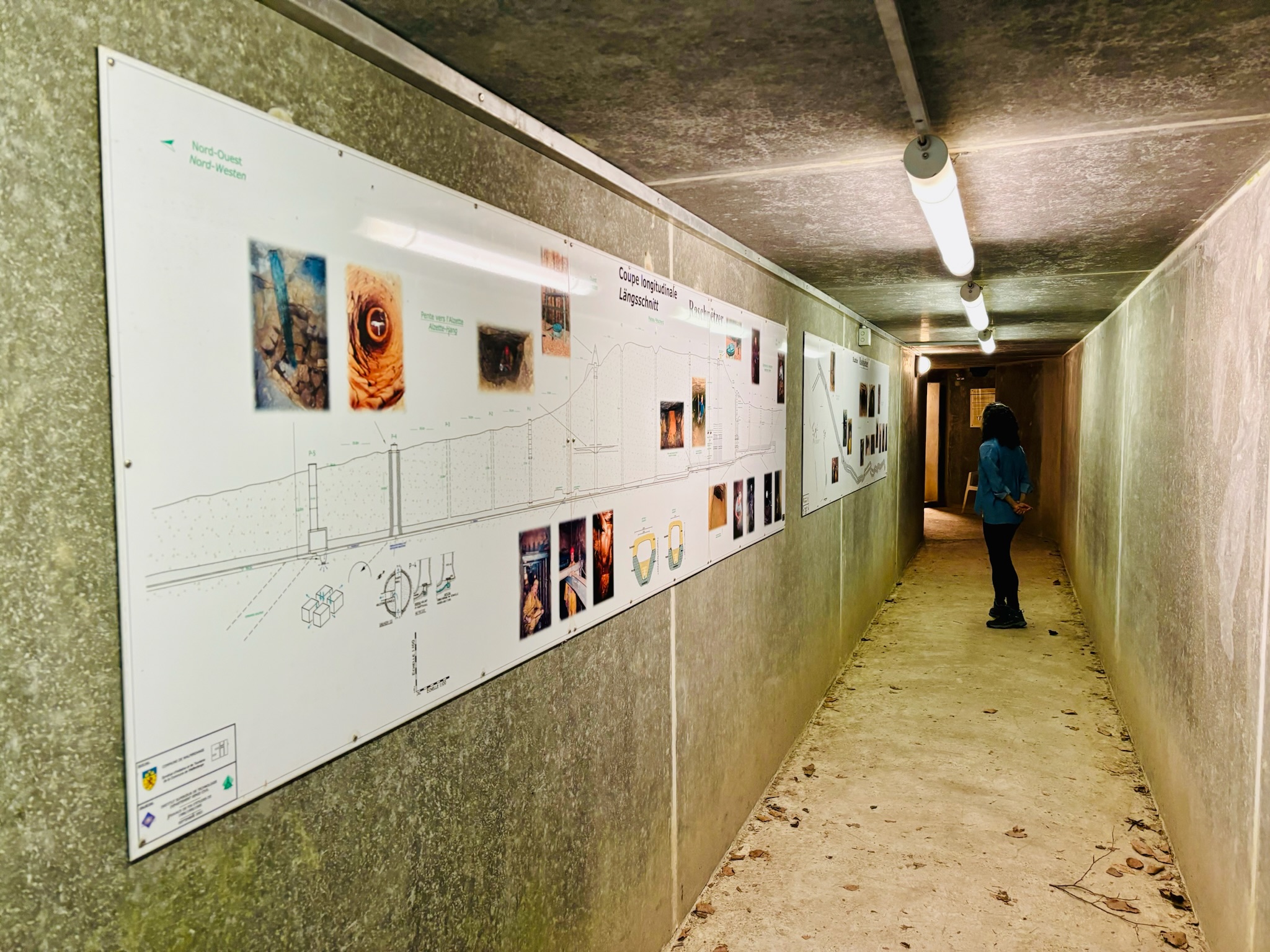
But not to worry! You can still marvel over this ancient wonder in various ways. Firstly, there are plenty of information boards (in French and German). The rather technical descriptions lost me in places; I would have preferred more details on the purpose of the aqueduct (to provide fresh water to the burgeoning Roman settlements near Walferdange / Steinsel) and its significance (longest known aqueduct of its type north of the Alps!) rather than a machine-gun fire of depths / gradients / discovery dates / other numbers and long words.
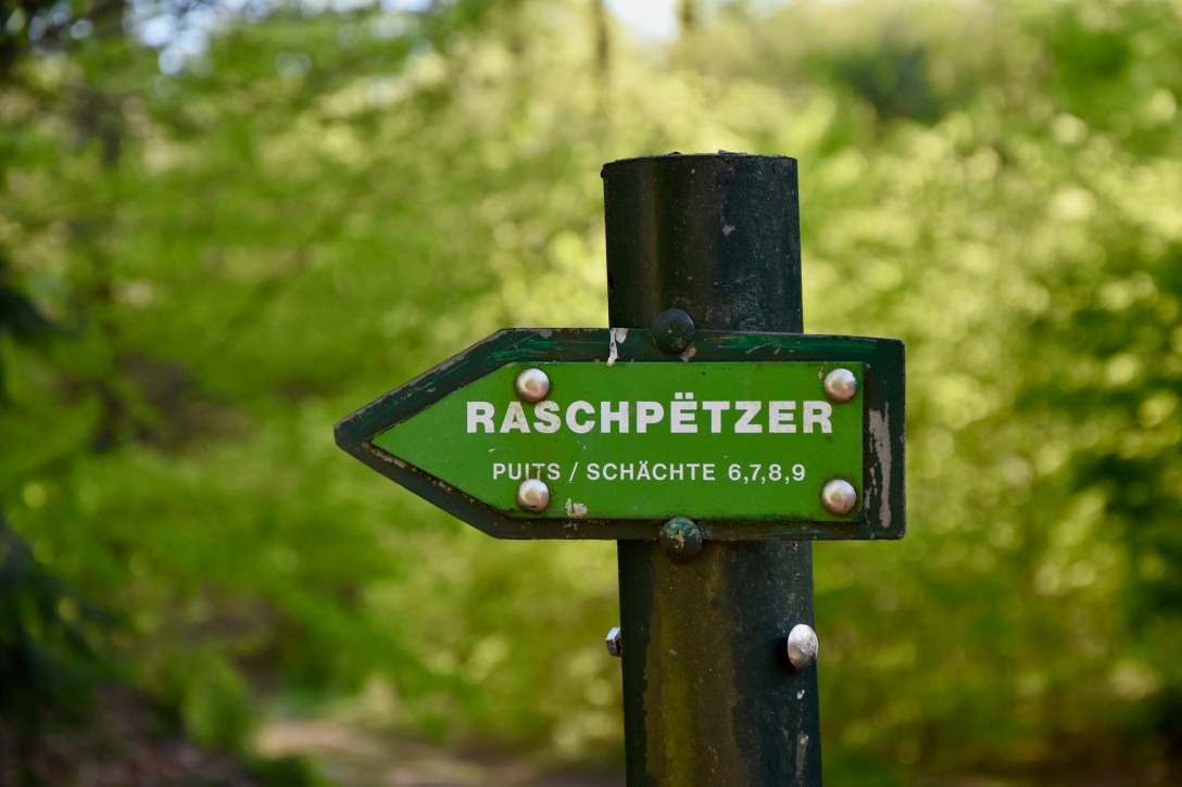
Personally I preferred the more “hands-on” ways of discovering the aqueduct: the impressively illuminated wells, for example, allowing us to look deep down into the belly of the hillside. I also enjoyed the tunnel to access a part of the construction close-up (although, again, the information boards appeared to be for the benefit of history professors with engineering degrees only…)
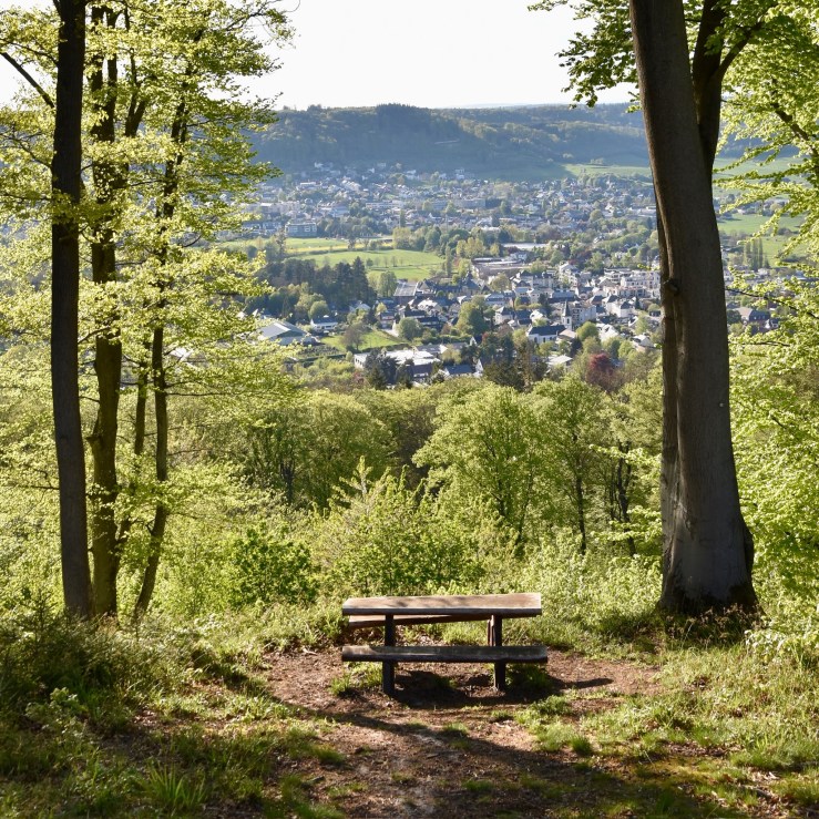
From Well 5 (the deepest and highest), the path veers off into the forest, towards the faint hum of the A7 motorway. After a kilometre or so of walking, the reason for this detour becomes clear: a stunning viewpoint and picnic table overlooking the Alzette valley:
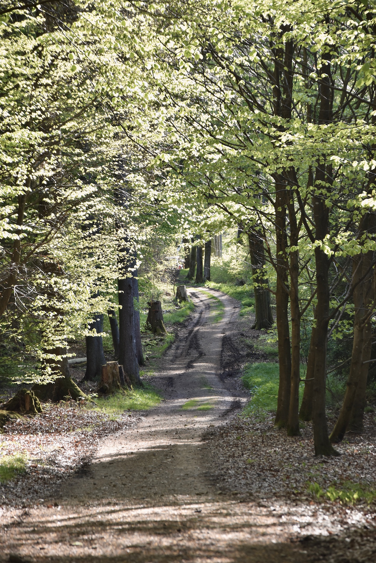
What goes up must come down. With all the Raschpëtzer wells visited, the trail continues its descent towards its ending point through beech forest (look out for some pretty springs and water features along the way) and then the Sonnebierg before re-entering Helmsange. It won’t be too long before the pleasingly-turreted Walferdange station comes into view and your visit through time and nature is at an end.
Links
- Official website (or here)
- The trail on Geoportail (coming soon)
- Our Komoot track
All photos and text (c) 2025 Jonathan Orr

[…] hikes: Guttland Trails Fuussepad, Raschpëtzer and Siwe […]
LikeLike