
- 22km – Tough! – 6 hours+
- Brutal but beautiful, this lumpy trail has over 800m of altitude gain and some of the rockiest terrain in Luxembourg… but the viewpoints, valleys and rock formations make it all absolutely 100% worth it!
- Park and start by the castle in Beaufort.
- By bus, Beaufort Op der Gare, then walk 10 minutes downhill to the castle.
- Alternative starting points available in Grundhof, Dillingen or Bollendorf-Pont.
A familiar dilemma for anyone visiting the Mullerthal is that its most famous hiking route – the Mullerthal Trail – is awkwardly long for a single day. Each of its loop stages stretches well beyond 35km, firmly outside the comfort zone of many hikers.
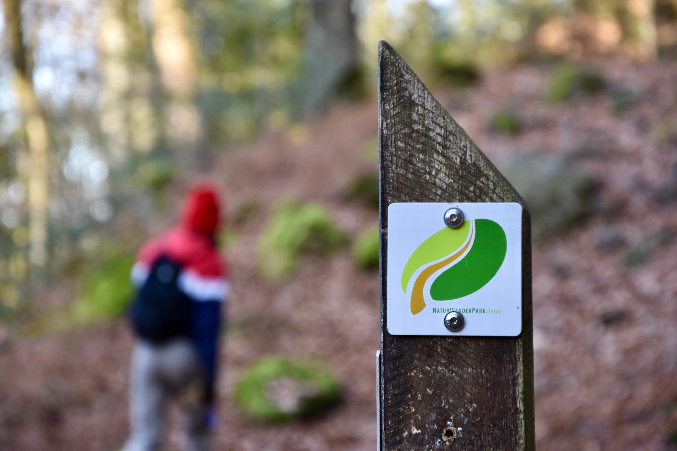
Enter the Felsenweg 2. At 22km, and traversing much of the spectacular rock scenery you’d expect from the Mullerthal, this route hits the sweet spot: a full day on the trails, challenging but realistic, with no need to watch the clock or worry about finishing before dusk.
One small caveat before we go any further: just look at that elevation profile! The Felsenweg 2 may be shorter than the Mullerthal Trail stages, but it is certainly not any easier. My eldest son attempted to speedwalk it recently and immediately declared it “one of the toughest trails in Luxembourg”. Intrigued, I joined him and the dog early one crisp December morning to see what all the fuss was about.
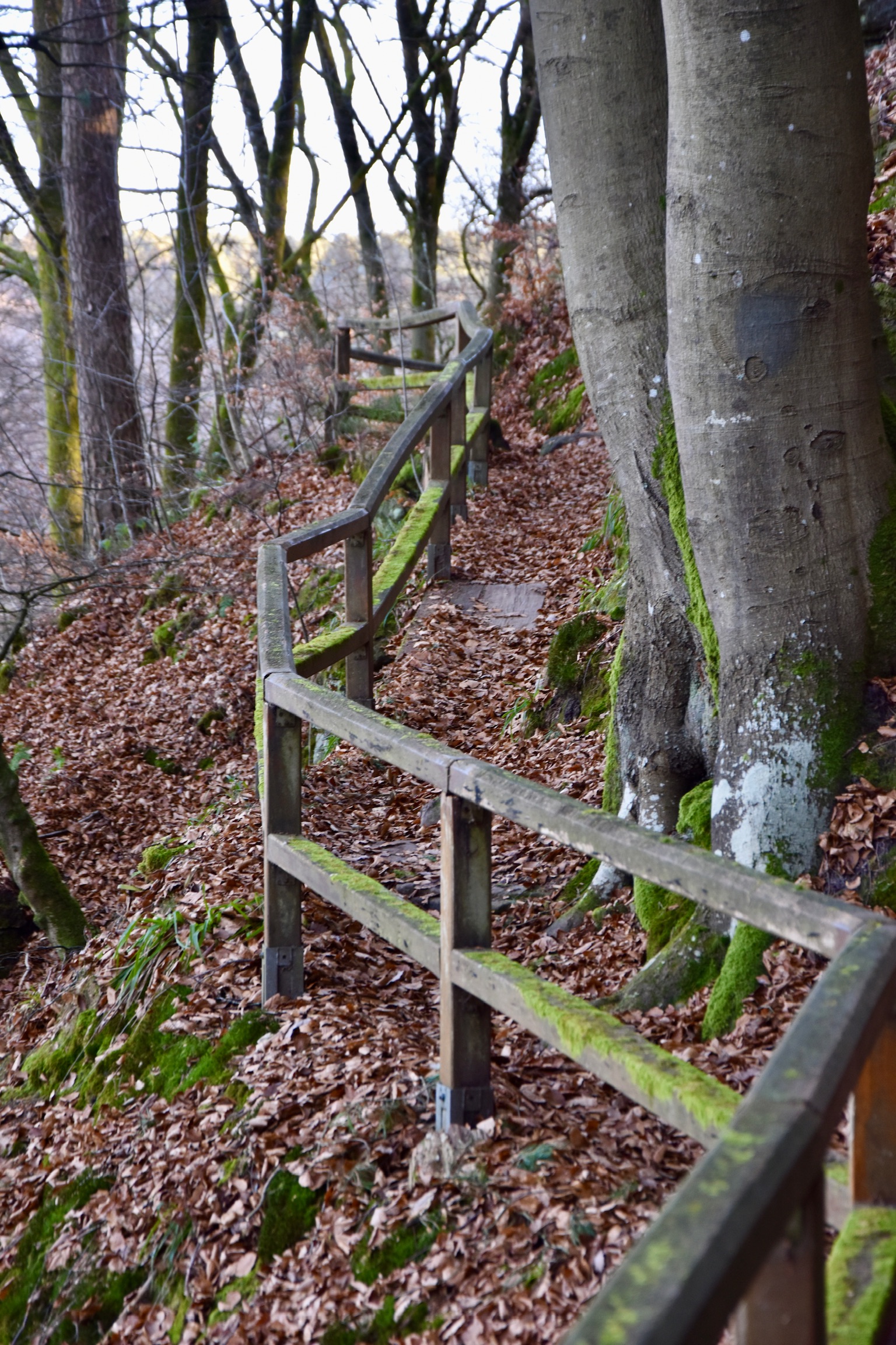
The frost was slick and slippery on the ground around Beaufort Castle, which made our clockwise versus anti-clockwise decision an easy one. Descending forest paths felt far less treacherous than tackling the partially asphalted 20 percent drop towards Dillingen. Anti-clockwise it was, and it is probably a sensible choice in any weather. Either way, you will be utterly exhausted by the end of this trail, so it pays to enjoy the glorious Haupeschbaach and Hallerbaach valleys while your legs are still fresh.
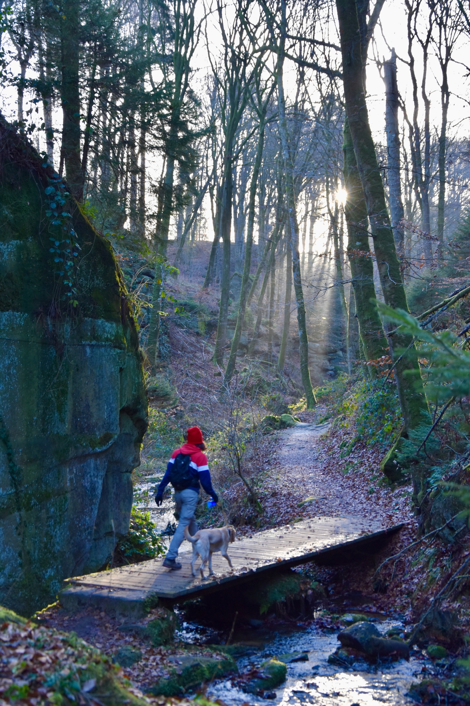
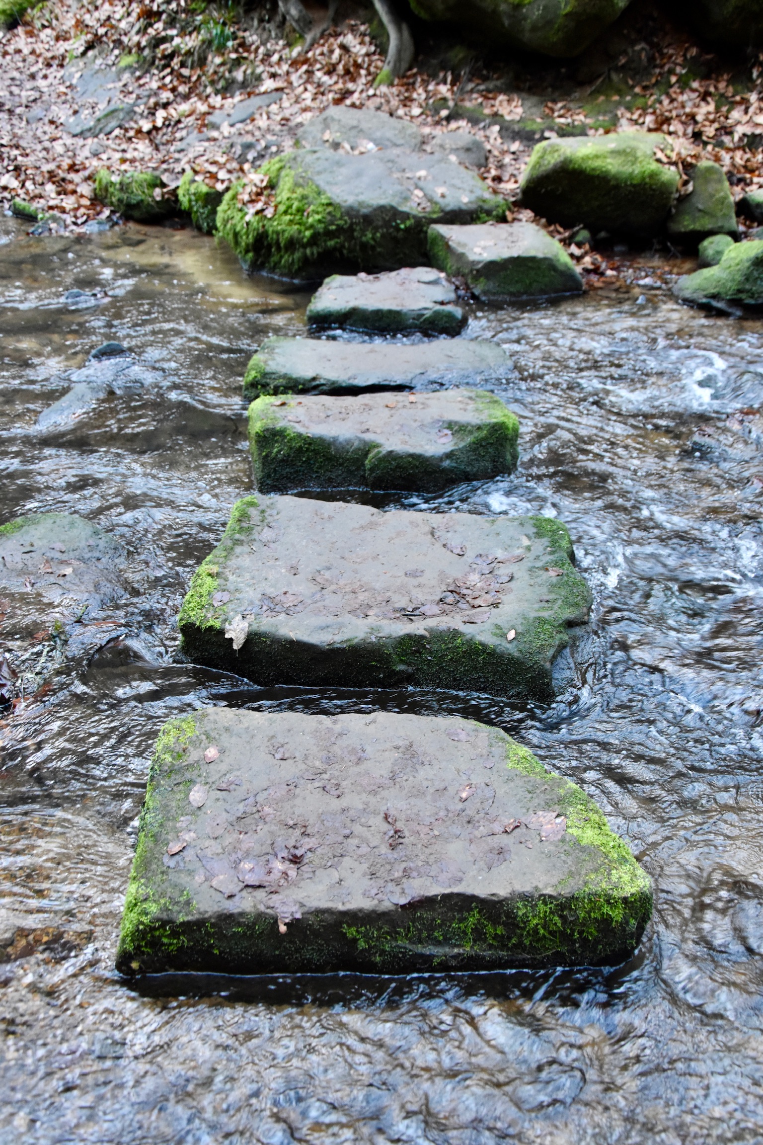
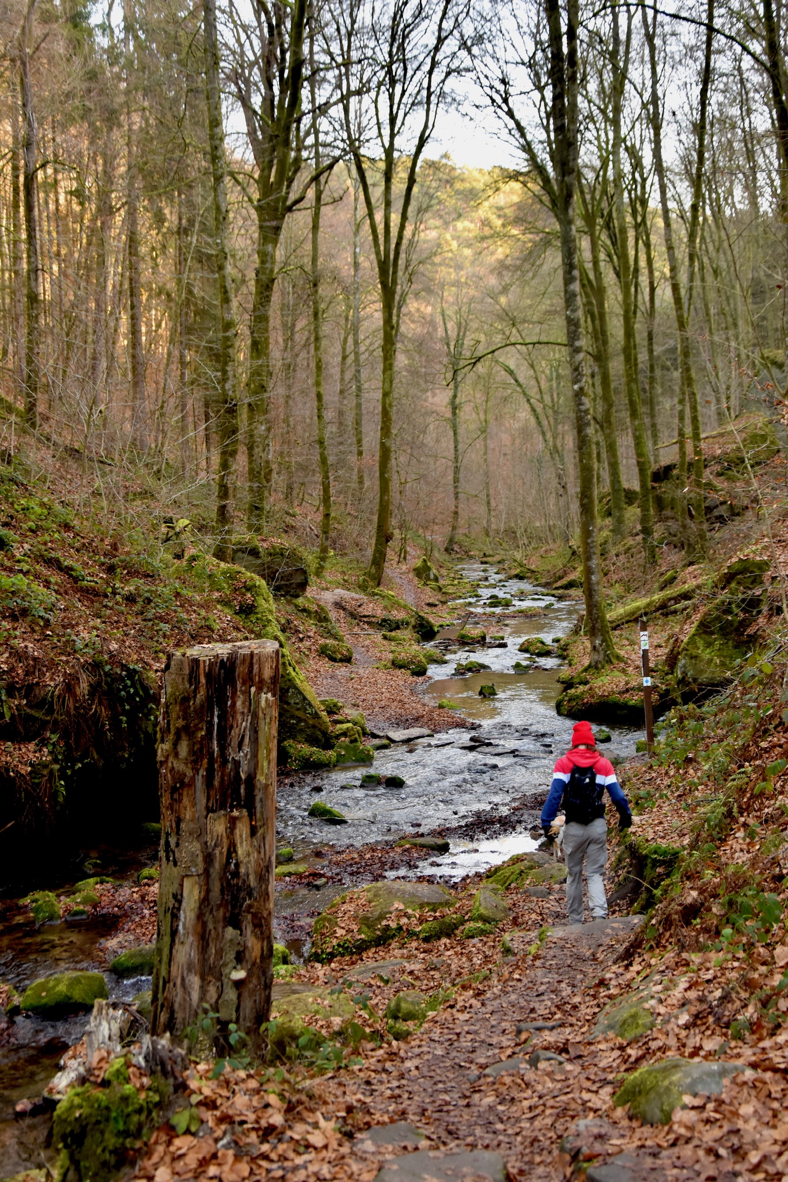
Criss-crossing these clear, babbling streams on bridges and stepping stones as you sink deeper and deeper into the forest is arguably the highlight of the hike. It is a quintessential Mullerthal experience, peaceful, immersive, and quietly magical. I never tire of this place, no matter how many times I walk through these hallowed valleys.
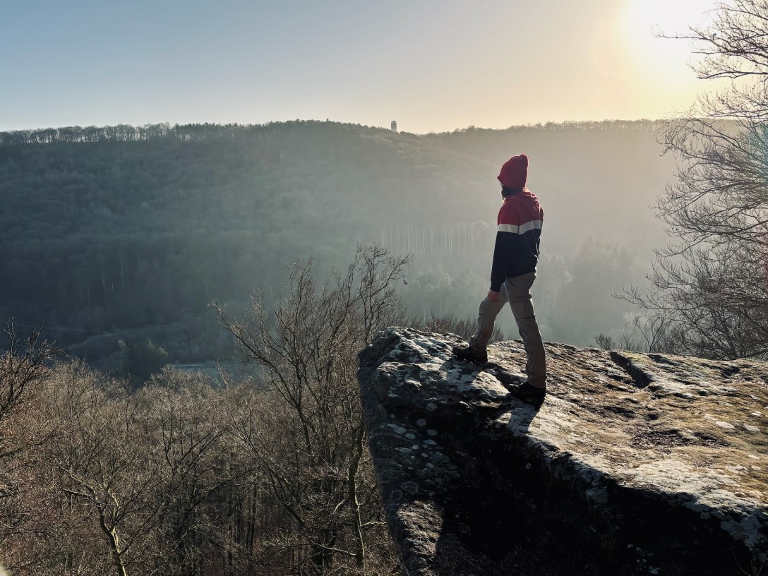
One curiosity of the Felsenweg 2 is that two of its very best viewpoints do not lie directly on the trail and require very short detours. The first, the magnificent Köppeglee, is – incredulously – not signposted at all. Look for a small path branching right after roughly 4km. The second, the romantic Kasselt, rises fairy-tale-like above the Sauer Valley after around 7km. It is better marked, but still surprisingly easy to miss.

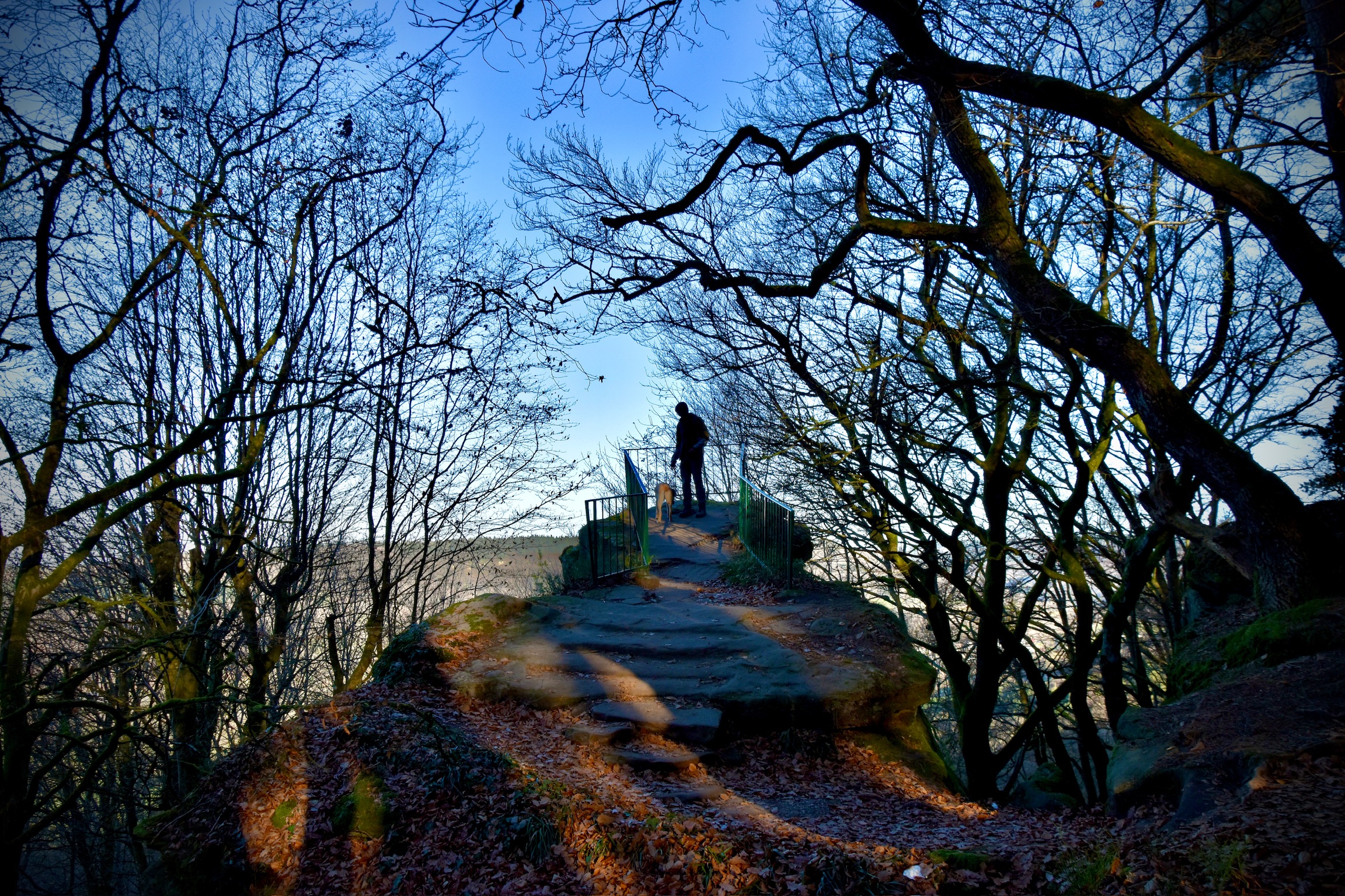
Reaching the Kasselt means conquering the first major climb of the day: a punishing 1.2km wall averaging 13 percent from Grundhof. There are still two similar climbs like this to come on this trail, each one pushing to a slightly higher altitude than the one before. Having caught your breath at the viewpoint, you can simply kick back and enjoy the next few kilometres: a typically rocky Mullerthal paradise, weaving in and out of spectacular rock formations before eventually beginning the descent down towards Bollendorf.
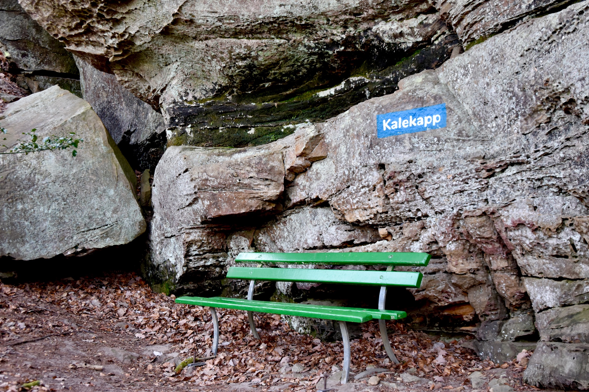
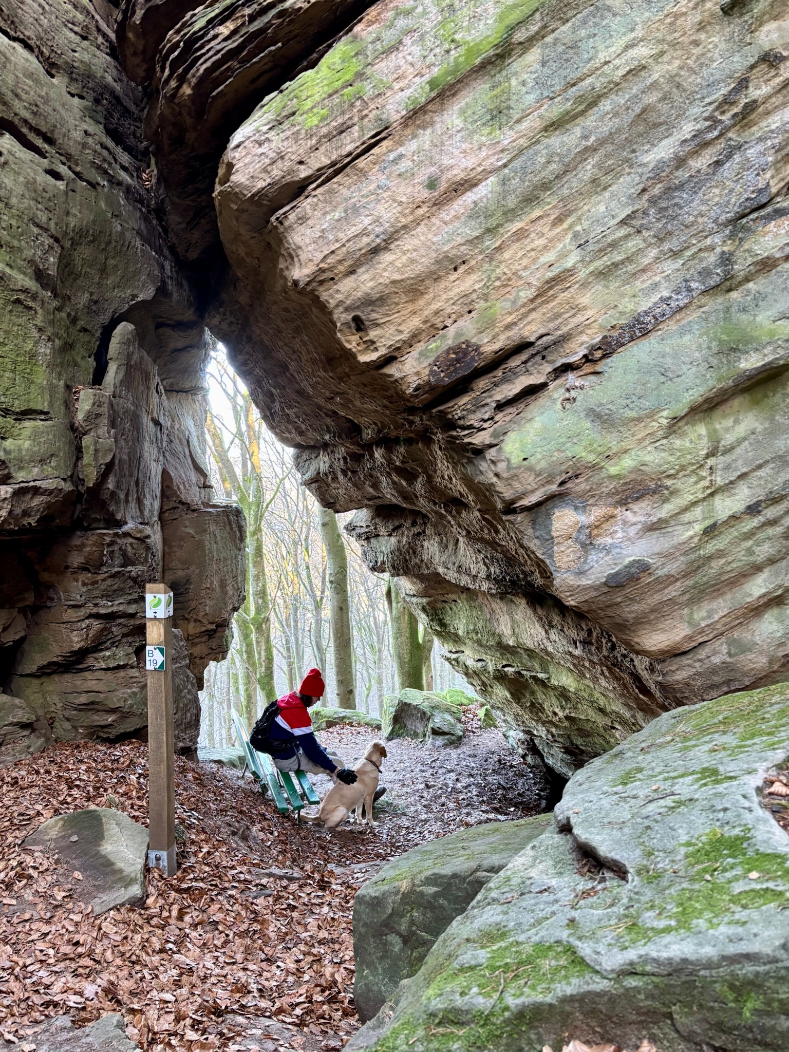
Along the way, you’ll pass through the Mandrack Passage, famed for being a tight squeeze through the sandstone rocks, but also home to a beautiful triangular window over the forest and Sauer Valley (right photo below).
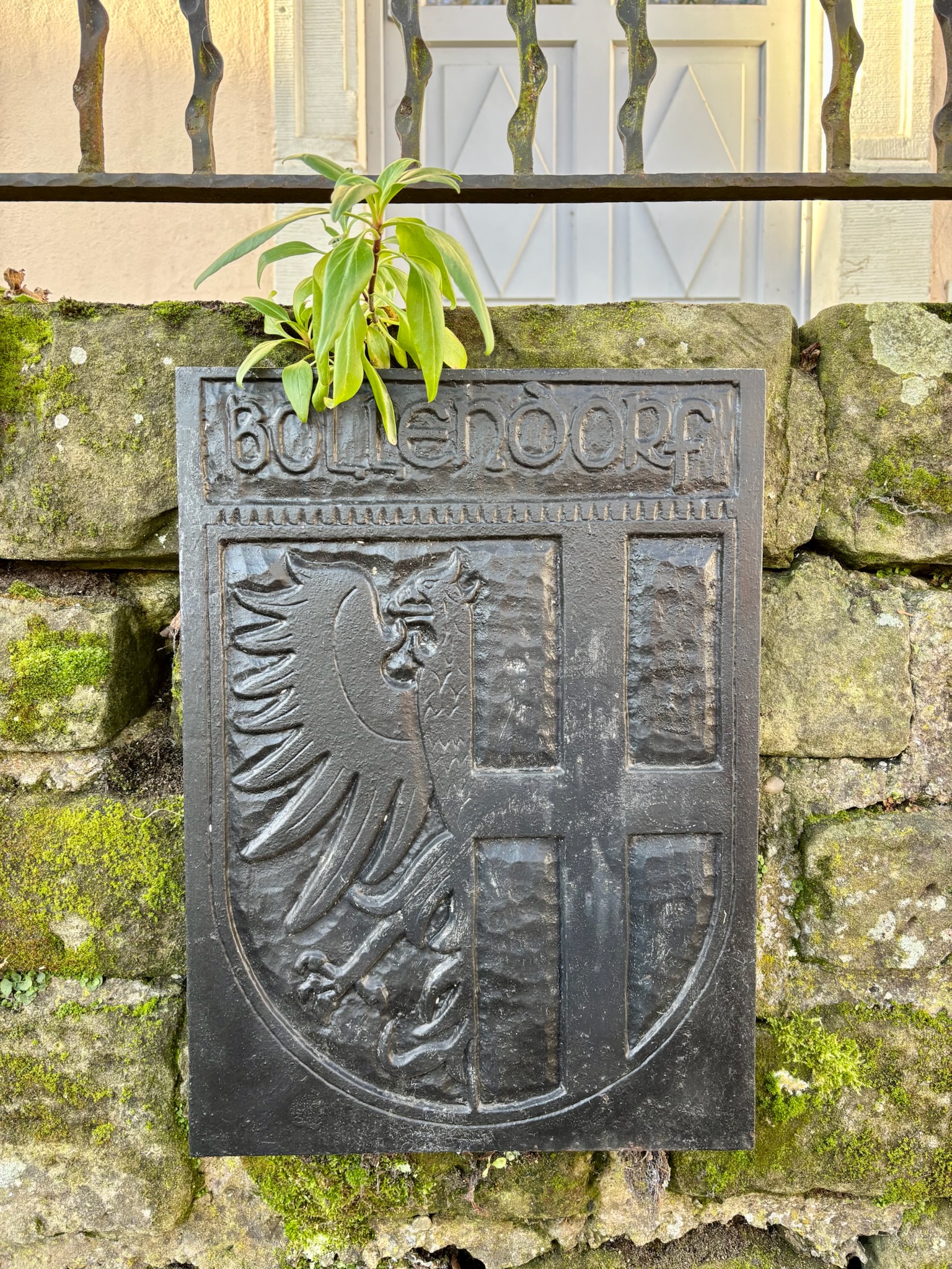
The section around Bollendorf is arguably the least engaging part of the trail, though it does offer the welcome chance to restock your supplies or grab a quick coffee. And you may be glad of it, because the climb out of this German border town is brutally steep, grinding its way upwards towards the Sonnenberg Hotel, where another drink might feel fully justified. Signage on the trail is generally excellent, though it becomes a little patchy through the town. If in doubt, follow the signs for Sonnenberg and you will find your way back onto the track.
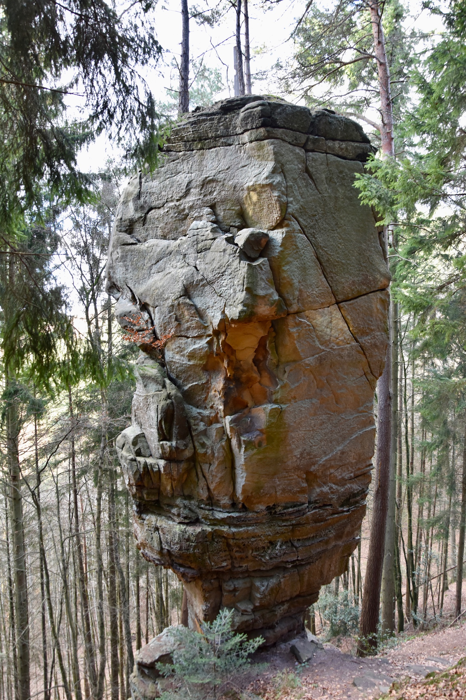
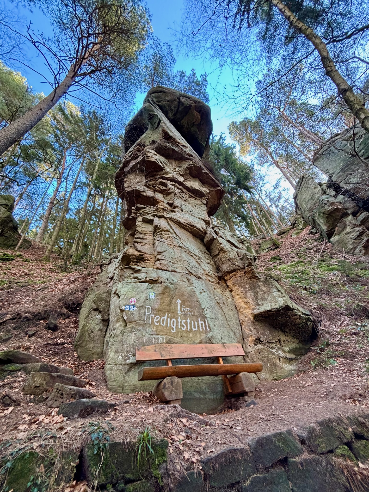
By now you’ll be at the starting point for one of the most beloved hiking trails on the German side of the Mullerthal: the Grüne Hölle. If you like, you can deviate temporarily from the Felsenweg by following the Audioguide route (it is surprisingly excellent!) but, honestly, the scenery is arguably better if you simply stick to the plan. It is tough going, though. After a superb viewpoint over Bollendorf, the trail settles into a relentless rhythm of rocky ups and downs, twisting through leaf litter with ankle-twisting stones underfoot at every turn.
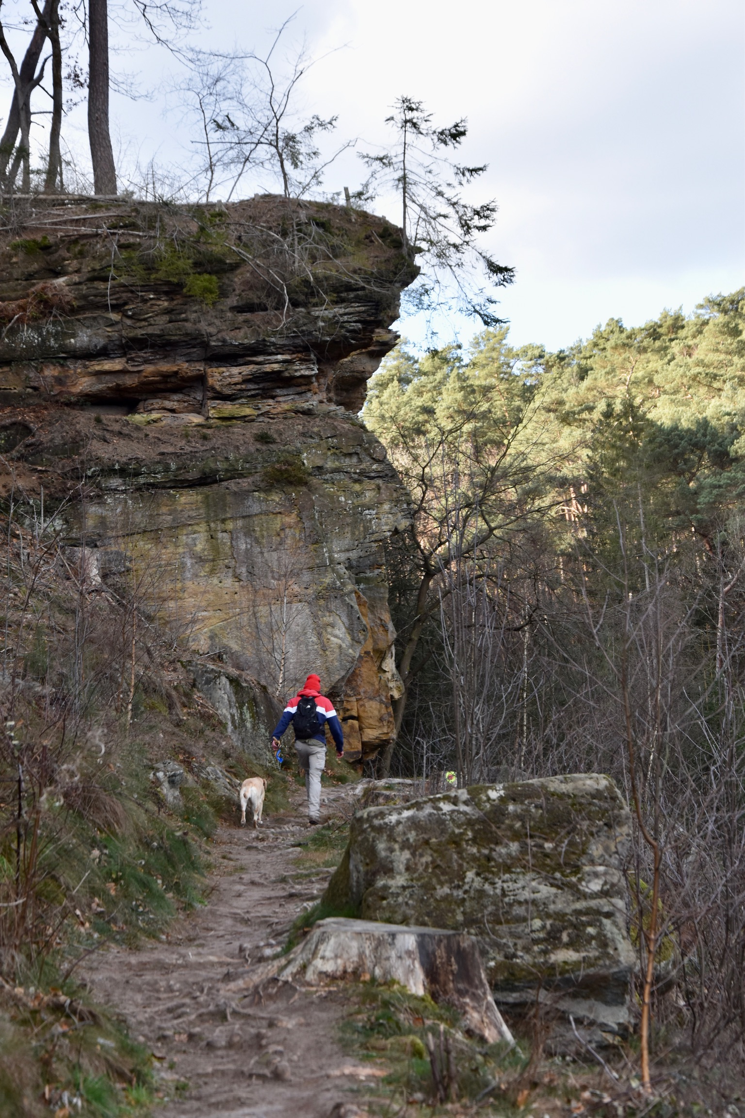
This stretch tests mental strength as much as physical ability, but you are rewarded with some spectacular scenery along the way, most notably the precarious Predigtstuhl rock formation, teetering and towering inexplicably over the surrounding forest.
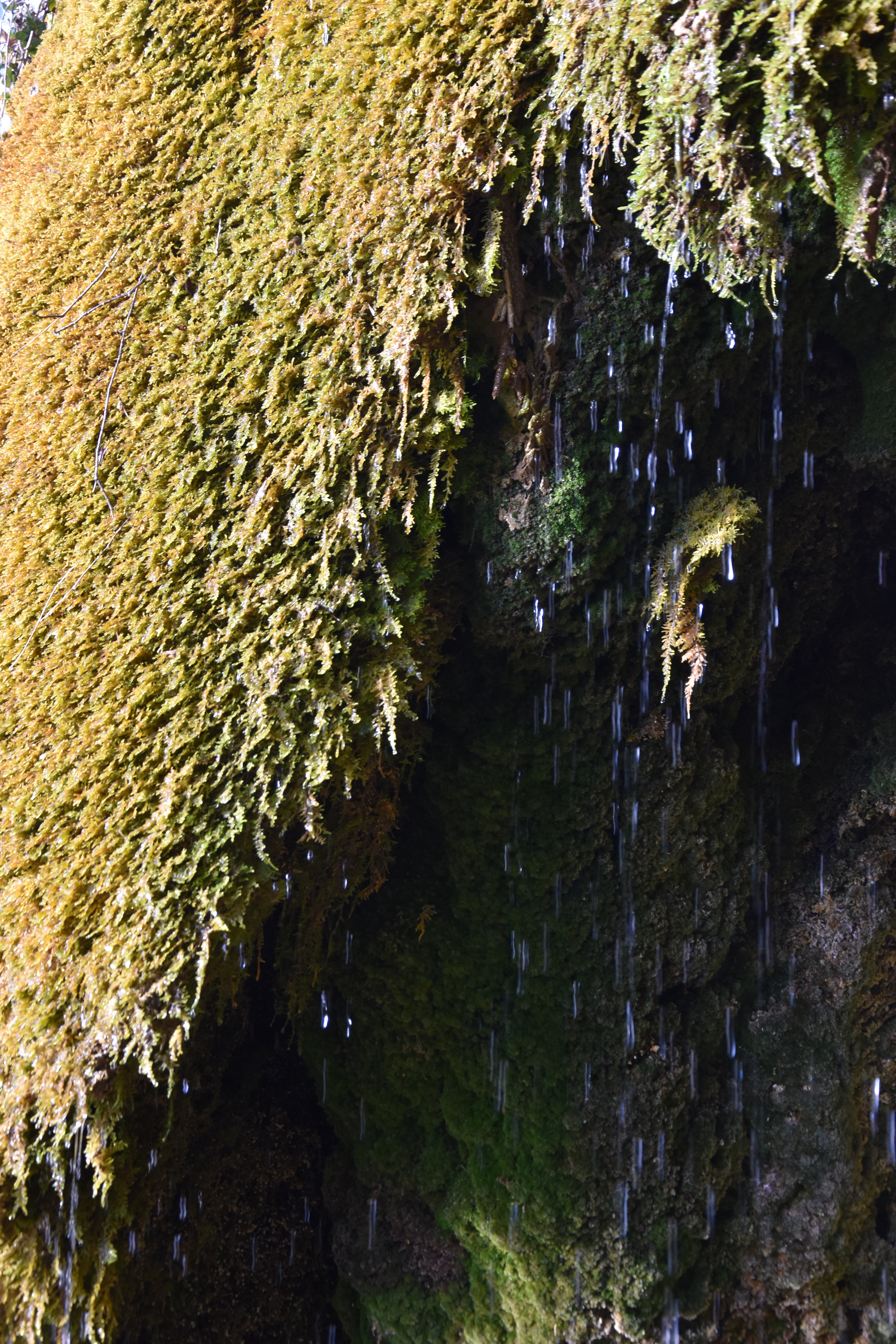
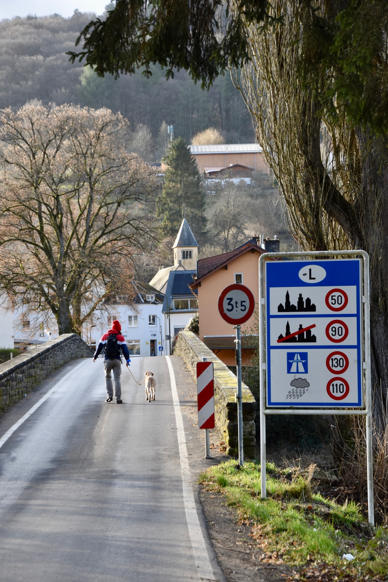
A slippery, muddy, rock-strewn, knee-punishing descent into Dillingen follows, redeemed by the fascinating Tränenlay beside the road. Here, water rich in limestone seeps steadily through a moss-coated cavity in the rock, creating a quietly hypnotic natural feature. From this point it is a short hop back into Luxembourg, where the final climb of the day looms large in front of you.
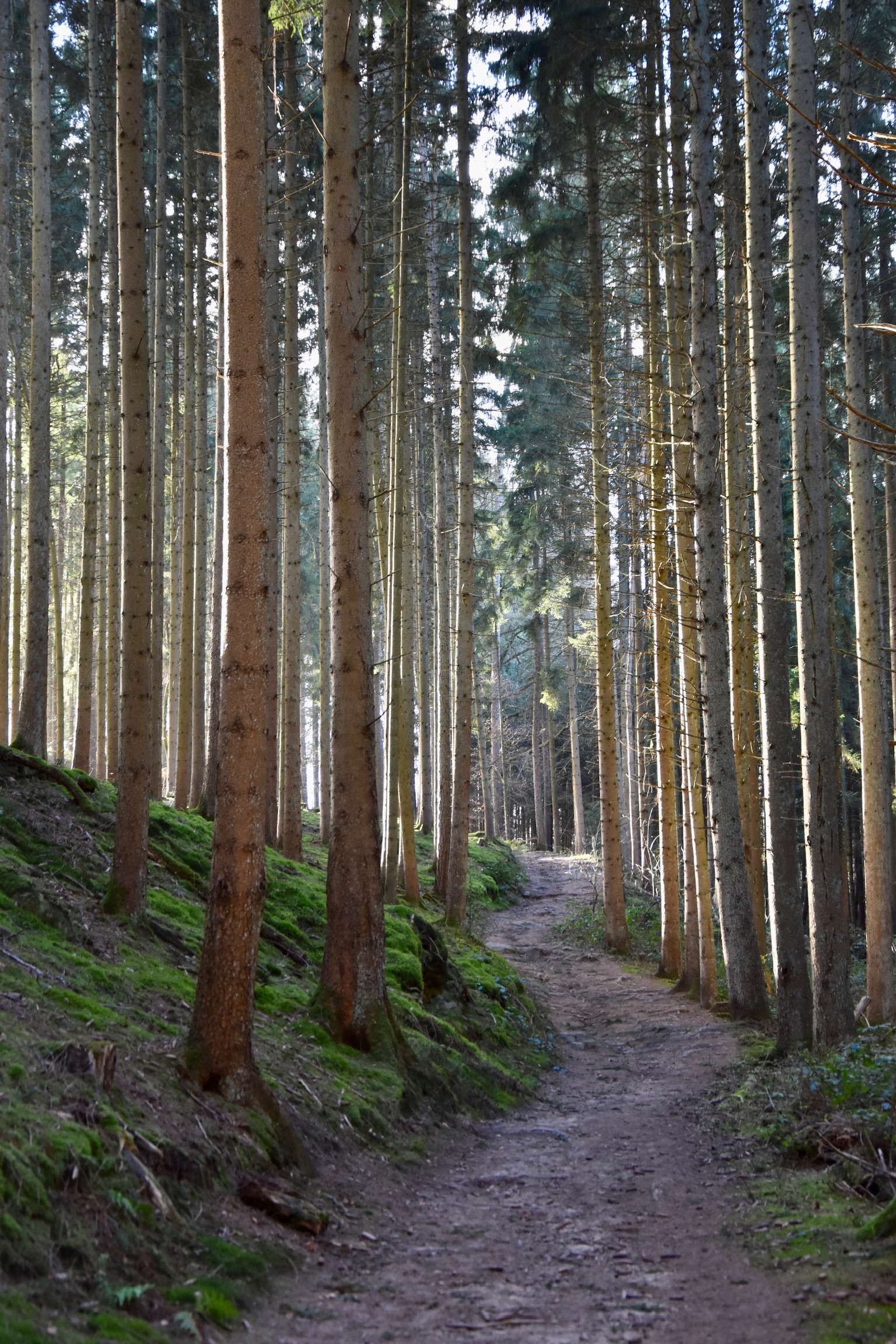
You’ll be feeling the trail in your legs by now, but there should be enough left in the tank for this steady slog up to the highest point of the trail at 383 metres. The effort is helped by the fact that there is relatively little to distract you on the way up. The camera can stay in your pocket, leaving you to focus purely on the physical challenge.
That changes abruptly when you reach the Biirkbaach, a section of the B1 trail near Beaufort with an almost other-worldly beauty. Rocky bluffs, scattered boulders, weather-smoothed roots and mysterious tree stumps combine to create one of the most atmospheric valleys in the region. From the cusp of this wondrous valley near the Route de Reisdorf, it is a gentle downhill all the way back to the castle.
In short, the Felsenweg 2 is a superb excuse to spend a long day outdoors. It will drive your pulse sky-high and leave you gasping for oxygen in places, but also feeling stimulated, satisfied, and very slightly in love with the Mullerthal all over again.
All photos and text (c) Jonathan Orr 2025 & 2026
