
It’s one of the most popular – and oddest – hikes in this famous hiking region. Rightly popular because the scenery is just gorgeous, taking in some of the best bits of Mullerthal Trails 2 and 3; a bit odd because it doesn’t quite show you many of its most interesting sights, such as the hidden Vugelsmillen waterfall, some epic viewpoints and a couple of pitch-dark caves ripe for adventure.
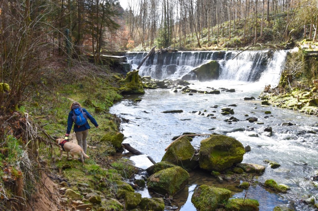
The traditional starting point for this hike is the popular tourist centre of Heringer Millen (Bus 470, plenty of free parking available), but we decided to tackle it a different way, starting at Vugelsmillen (Buses 414, 502, 848 and couple of others; a few on-road parking spots available). In this way, we saved the best bits of the tour – the rock formations around Berdorf and the Vugelsmillen waterfall (above) – until last, leaving us free to start our hike with the softer, simpler pleasures of a countryside stroll along Mullerthal Trail 3.
The W3 is essentially a trail of two trails: approximately half of it winds along the romantic Mullerthal Trail 3, and the other half follows the more eye-catching and lung-busting Mullerthal Trail 2. Coming from Vugelsmillen, the switchover point between these two distinct segments is Heringer Millen; almost immediately after leaving the hamlet, the path starts to rise up some recently-renovated steps towards the Keltenhiel (Grotte des Celts).

As the name would suggest, there is evidence of early human habitation in this surprisingly large and accessible cave, situated just off the main path. Be careful not to miss it though – there is no signpost on-site to indicate the entrance to the cave! To find it, use our Outdoor Active route, which shows it quite clearly (zoom in a bit at the south-east of the map). Once near the location, check your position regularly and look for a small path to your right leading upwards and backwards.

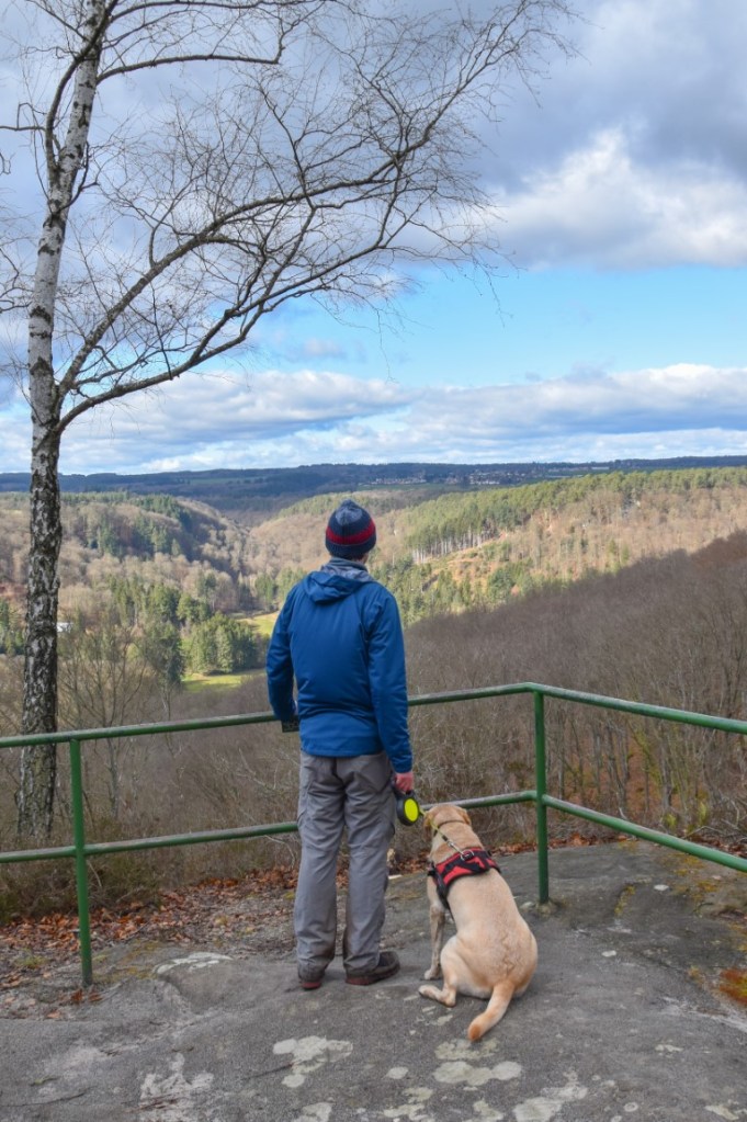
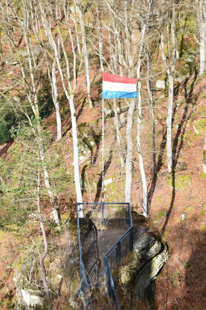
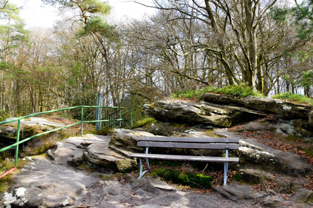
From now on the scenery becomes wilder and more spectacular with every step, reaching a climax at the chaotic rock formations around the “Priedegtstuhl” viewpoint. Once again, though, access to the viewpoints themselves is poorly signposted (perhaps not at all; we certainly didn’t see any). A bit of exploration of the crevices, gullies and rocky outcrops is required to find your way up to the twin pinnacles.
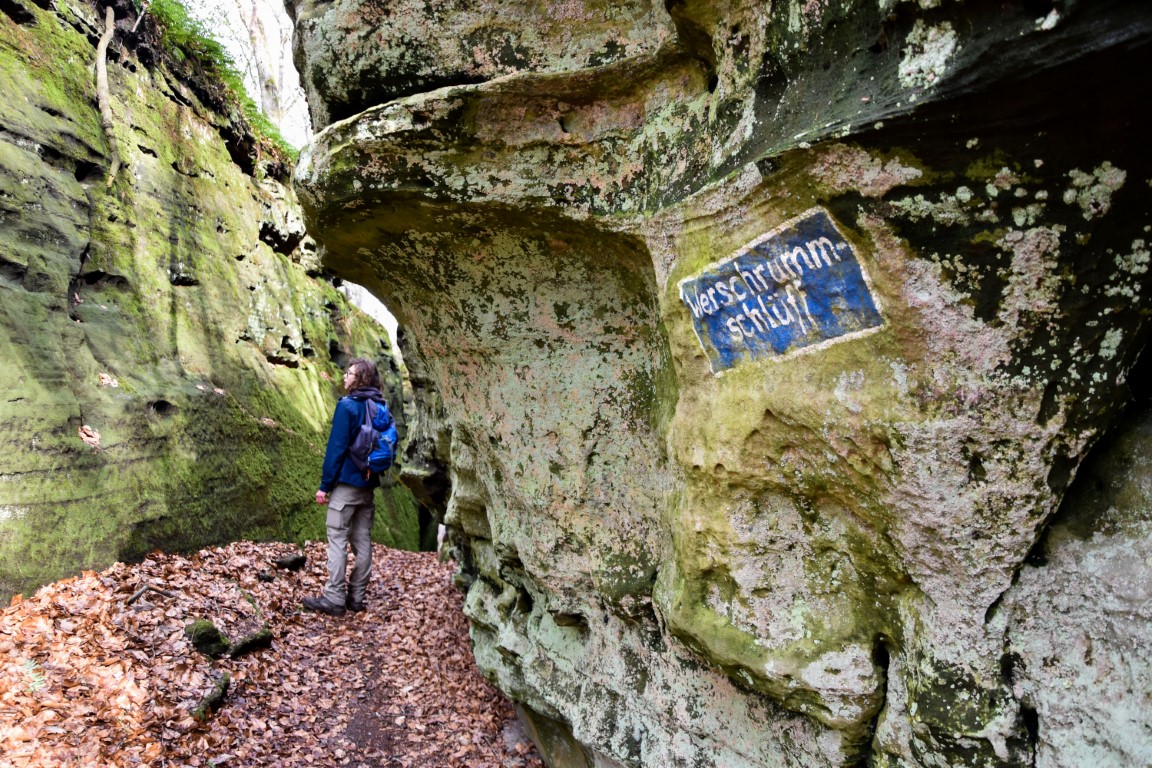
The area around the bases of these viewpoints – the utterly unpronounceable Werschrummschlüff – is equally beguiling: a veritable labyrinth of narrow passageways winding and cutting their way through impossible walls of sandstone. Yet again – and sorry for being boringly repetitive here – many of the most interesting corners are NOT on the W3. Exploration required.


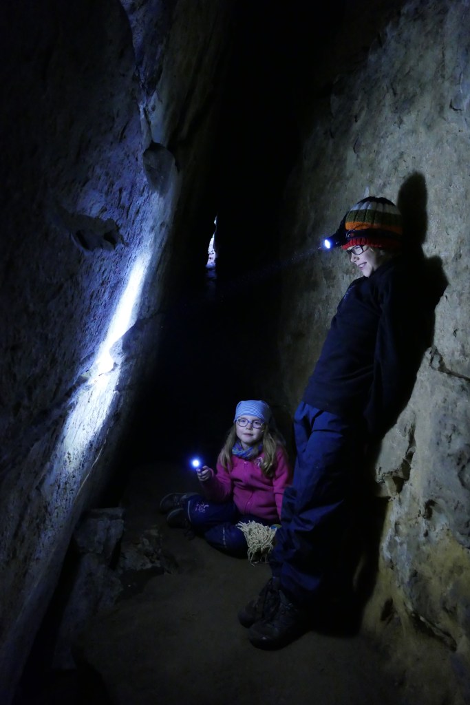
As an aside, it is easy to underestimate how tiring the W3 trail can be. Looking at its altitude profile on a map, you’d be forgiven for dismissing it as having no significant altitude gain and therefore a easy stroll in the woods. It’s not. The constant, relentless ups, downs, twists and turns of the Schnellert forest (roughly the eastern part of the valley, Mullerthal Trail 2) take their toll. As a result, the hike will almost certainly take you longer than you think it will, and you’ll be feeling those leg muscles by the time you reach the imposing cliffs at the foot of the Roitzbach plateau. Those hungry for more adventure can here explore the Hölle (“Hell”) cave, a 55-metre long dead-end crevice that will provide a greater adrenaline kick than the relatively tame “Keltenhiel”. Head torch recommended; be prepared for some climbing and scrambling.
From here it’s downhill all the way back to the starting point… with one important short detour to make. Yes, it’s finally time to pay a visit to the Mullerthal’s “secret” waterfall at Vugelsmillen.

For reasons that I do not fully comprehend (land ownership issues?), this picturesque wall of tumbling water is not featured on ANY of the regular hikes in the Mullerthal, the W3 included. To visit it, you either need to climb down the steep embankment near the hairpin curve on the CR364, or else – as we did – take a brief detour from the W3 path through the forest. (Note that it is almost inaccessible from the main CR121 road through the Mullerthal.) Whichever path you choose, the effort and time taken to get here is almost nothing compared to the sight (and roar of the water) that greets you upon arrival. A worthy finale to one of the best hikes in the region.
(c) 2022 Jonathan Orr
