
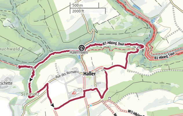
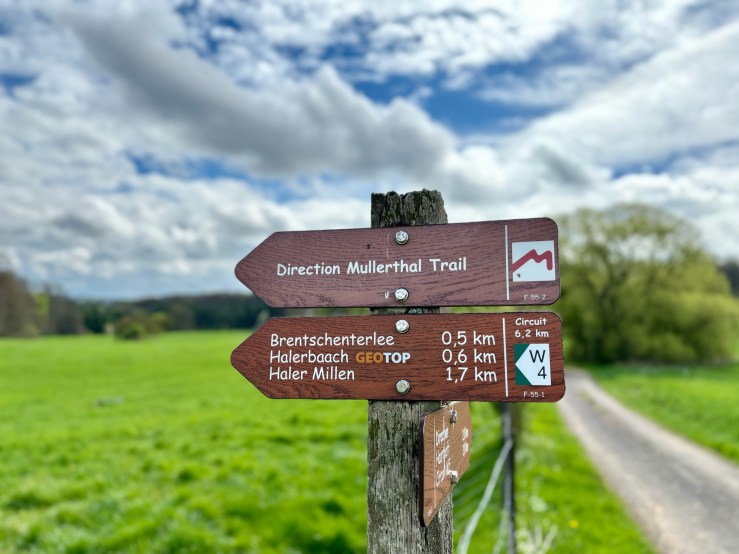
- 7km lesser-known trail in the Mullerthal region.
- Perfect for families and for those wishing to avoid crowds on busier days.
- By car: Park and hike at Halermillen (between Haller and Beaufort)
- By bus: Haller “Beim Bassang“. Directly on the trail. To pick up the signs: walk uphill and take first left.
The Mullerthal is arguably Luxembourg’s prettiest region, and almost certainly its most popular hiking destination. However, by the time late spring swings into action, the trails around Berdorf, Echternach and the Schiessentümpel waterfall can begin to feel uncomfortably overcrowded at weekends and holidays.
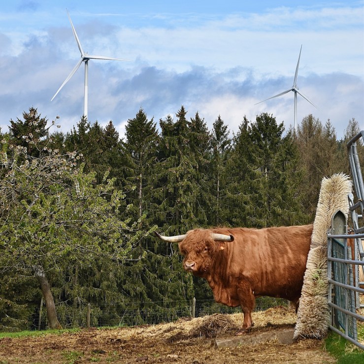
But not to worry – there are still plenty of “off the beaten path” hiking trails in the Mullerthal which allow you to savour the stunning scenery while still providing a sense of serenity. The W4 trail, essentially a tour of the forests around the village of Haller, is exactly one of these trails. It shows off the famous Mullerthal rock formations and woods, throws in a bit of local history and typical village life to boot… and you probably won’t be bothered by anyone. Except maybe some highland cattle:
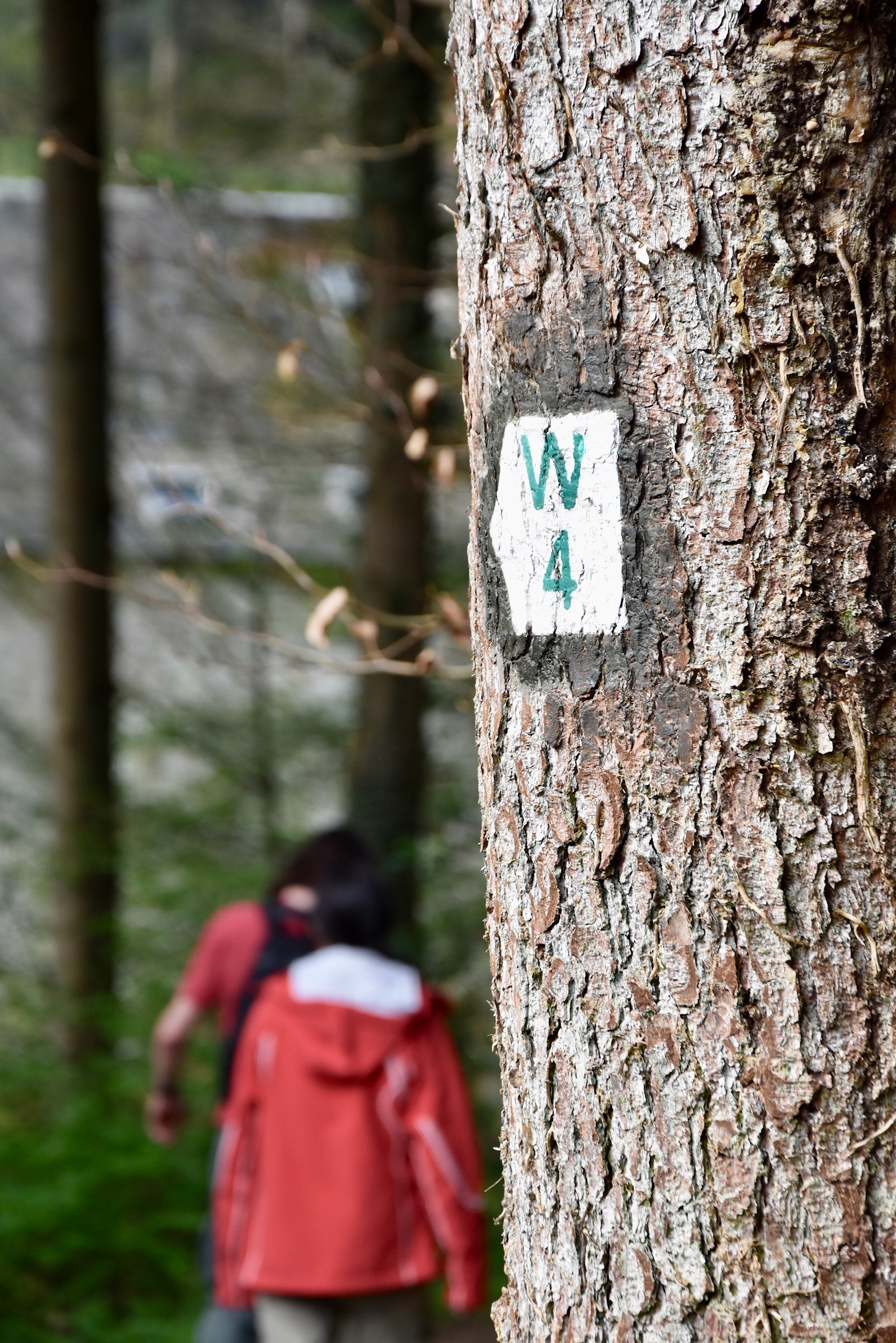
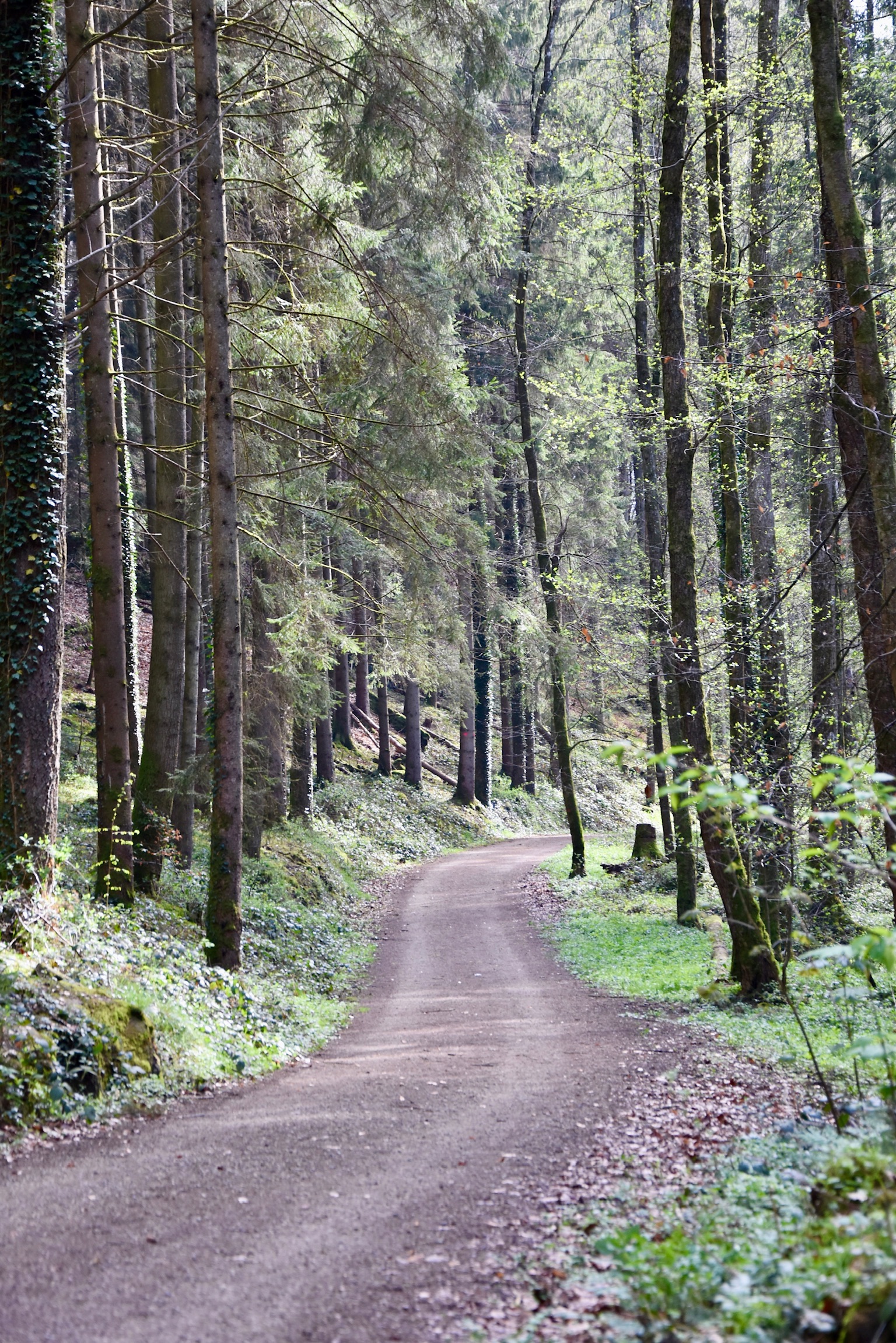
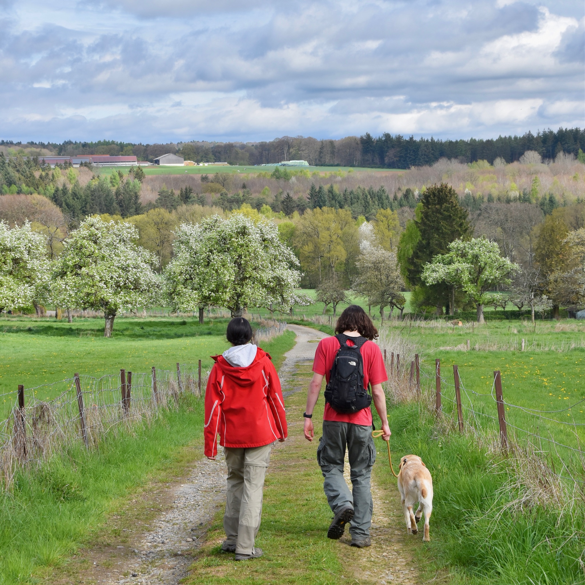
Arriving by car, you are plunged almost immediately into a forest of such beauty and serenity that it may very well take your breath away. Compose yourself, and follow the clearly-marked “W4” sign into the woods. The young “Halerbaach” stream gargles happily to your left, beech trees tower overhead, and rocks dot your view at every turn.
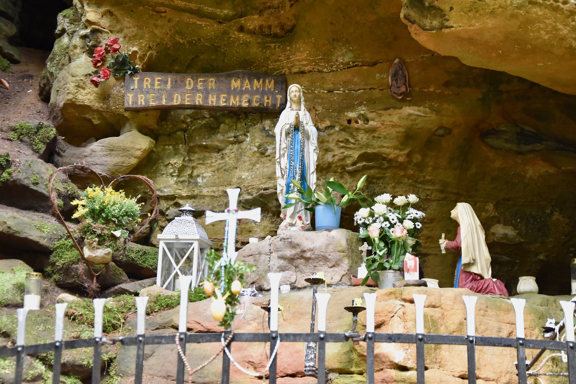
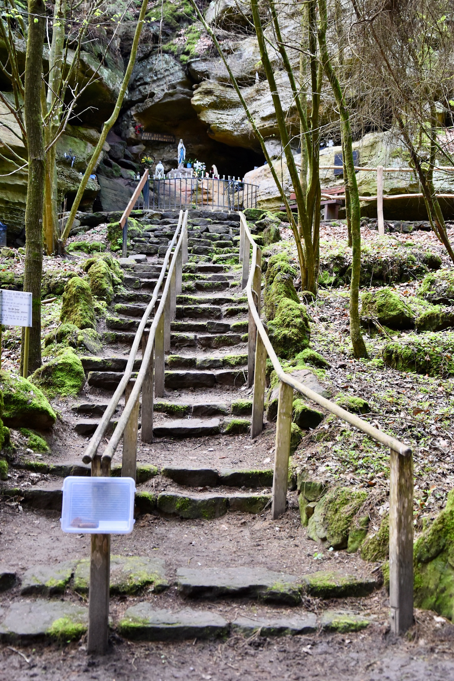
After a kilometre or so of blissful walking, you’ll reach the “Ellerlay” rock formation – and it’s time for a short detour. Only 200m or so from the official route you’ll find a WWII bunker, a place where local resistance fighters hid from the Nazis. There are plenty of these all over Luxembourg, but this one… is a bit different. First of all, being the Mullerthal, the hiding place didn’t need to be made: it was a natural “grotto” in the rocks.
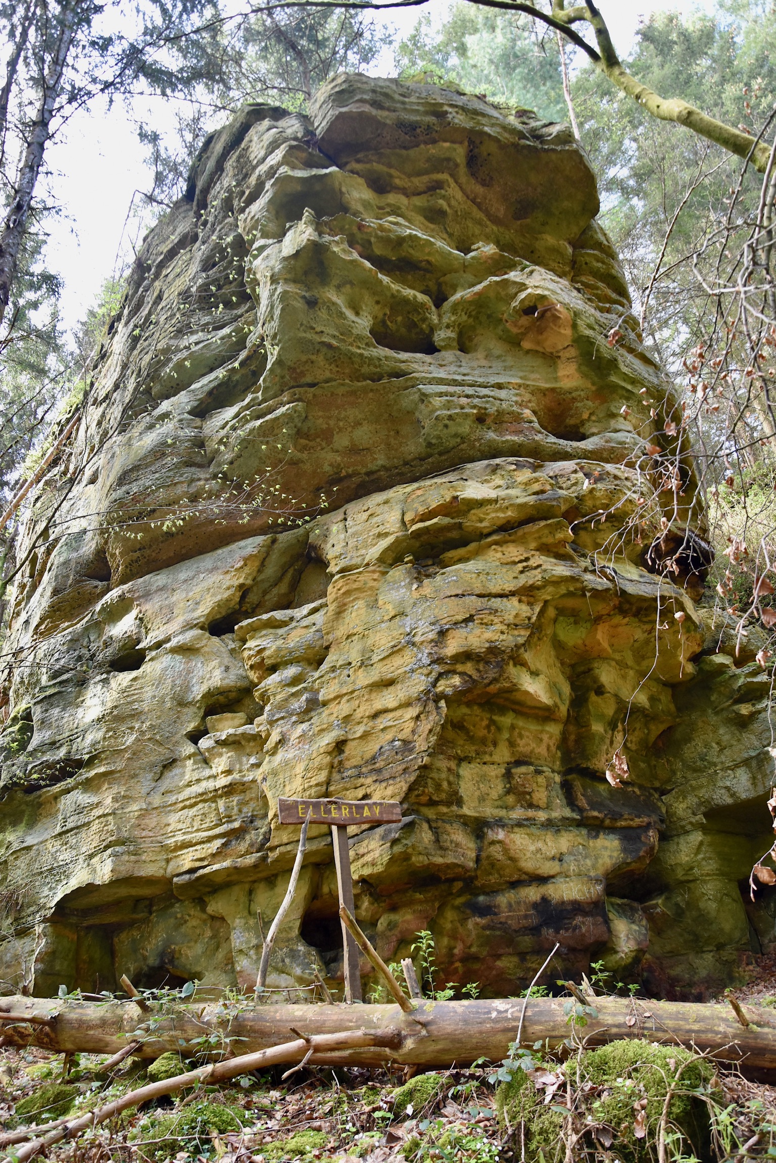
Secondly, this sacred spot has been lovingly, tenderly maintained by local residents, more so than I have seen anywhere else. There’s an elaborate chapel festooned with figurines and flowers. There are benches, information boards, candles galore, handrails(!). Disregarding the slightly uncomfortably nationalistic tone of the information (which is easy to do since it is all in Luxembourgish only), it’s a wonderful place to stop, explore and relax for a while before returning to the “Ellerlay” rock and joining the W4 once again.
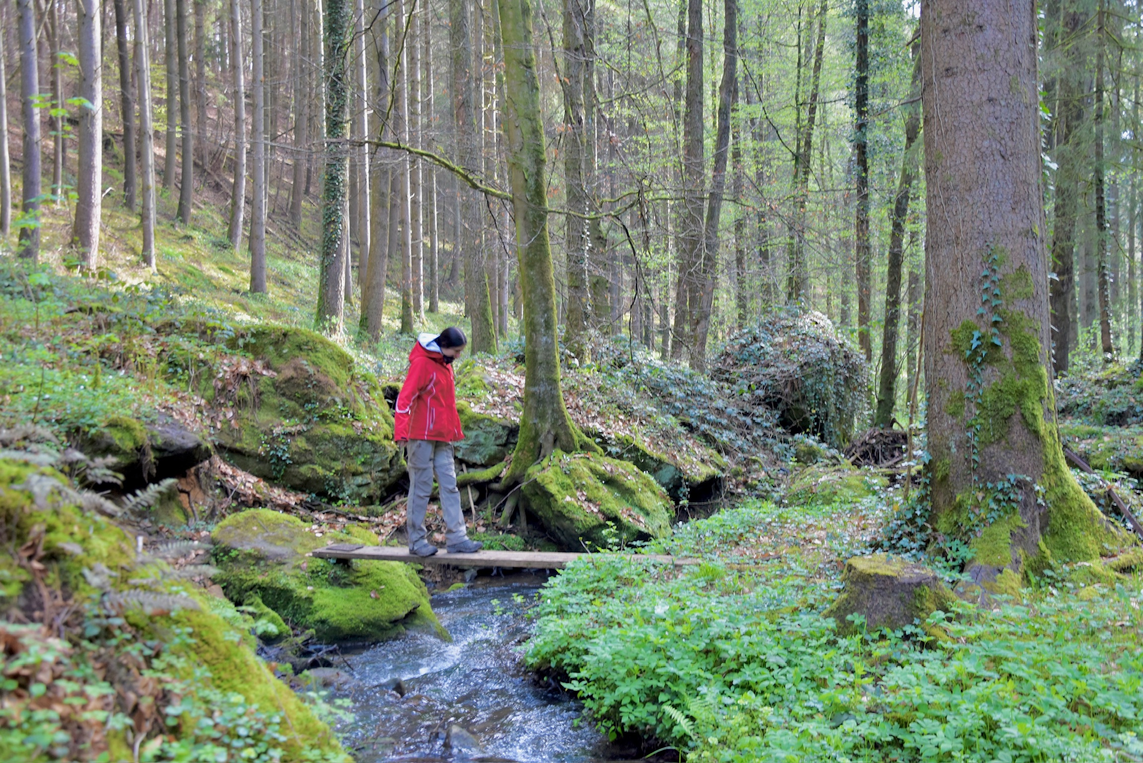
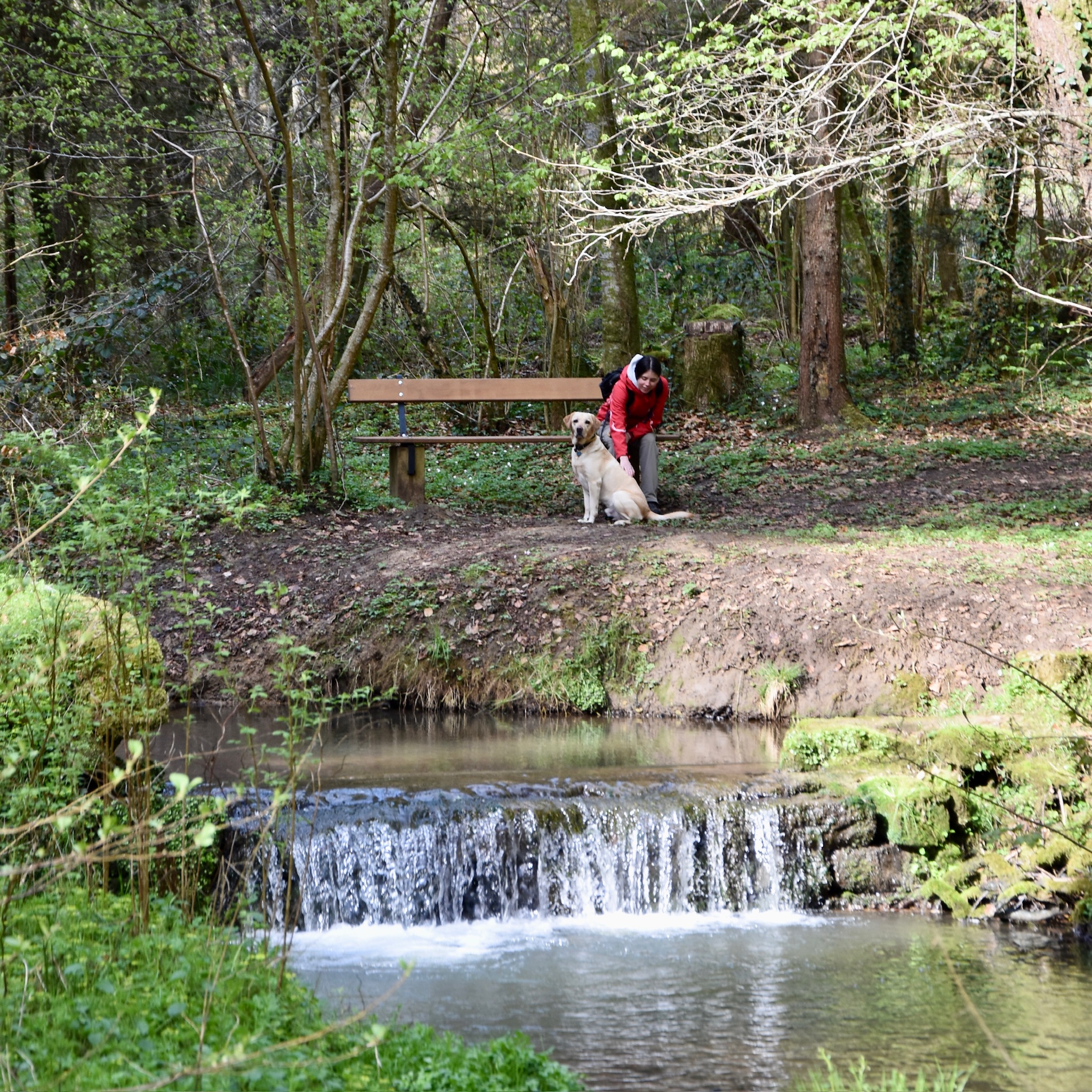
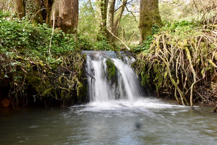
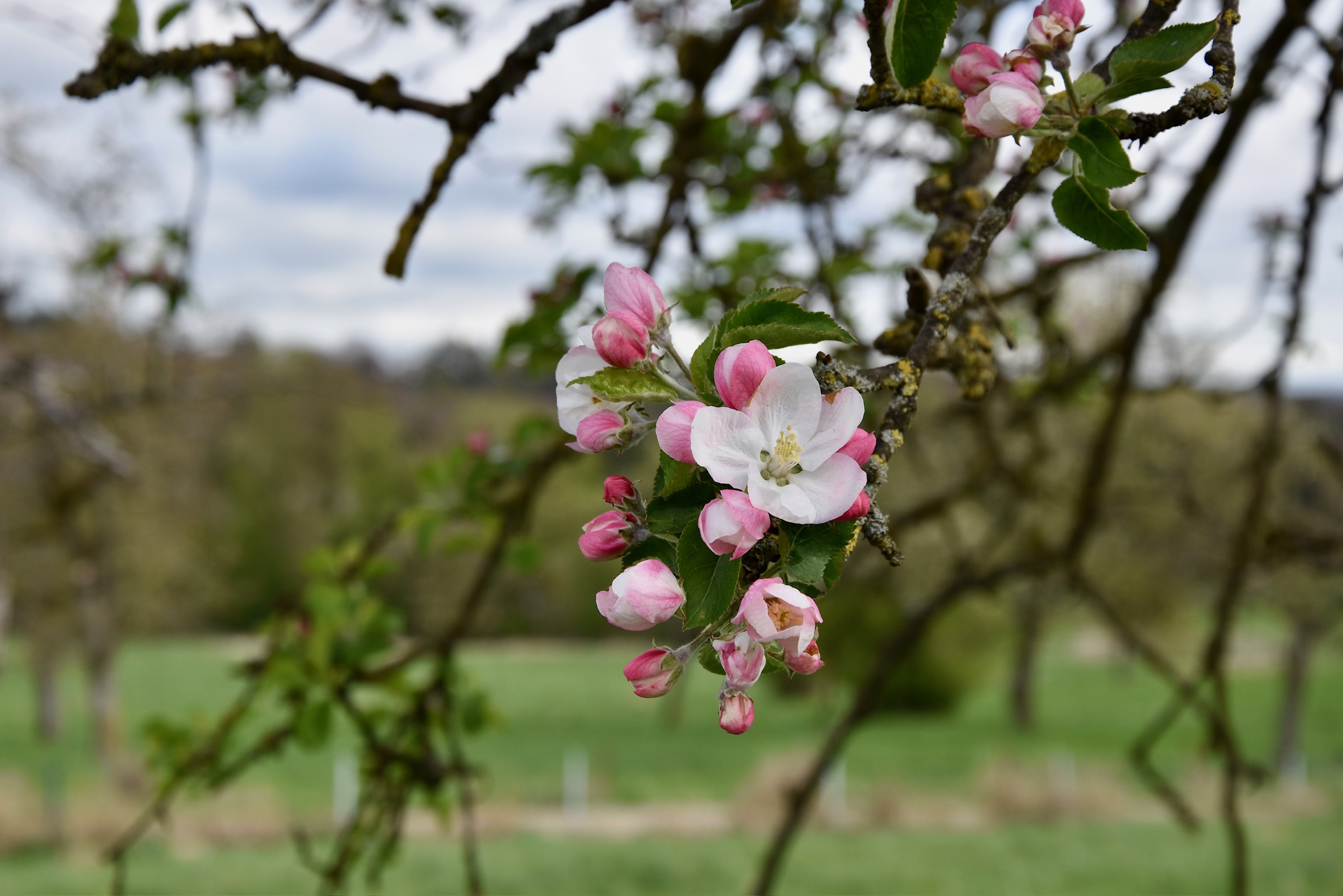
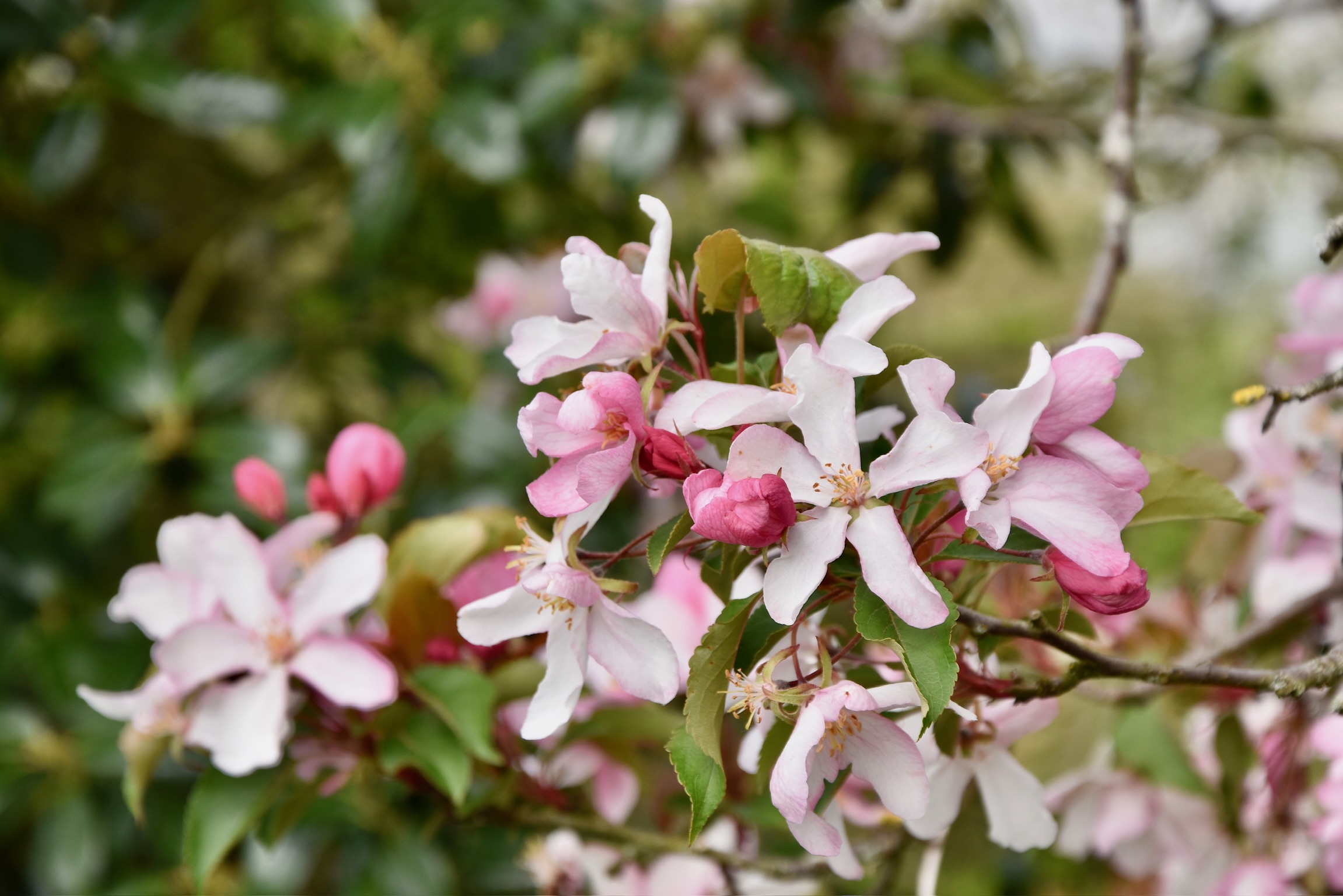
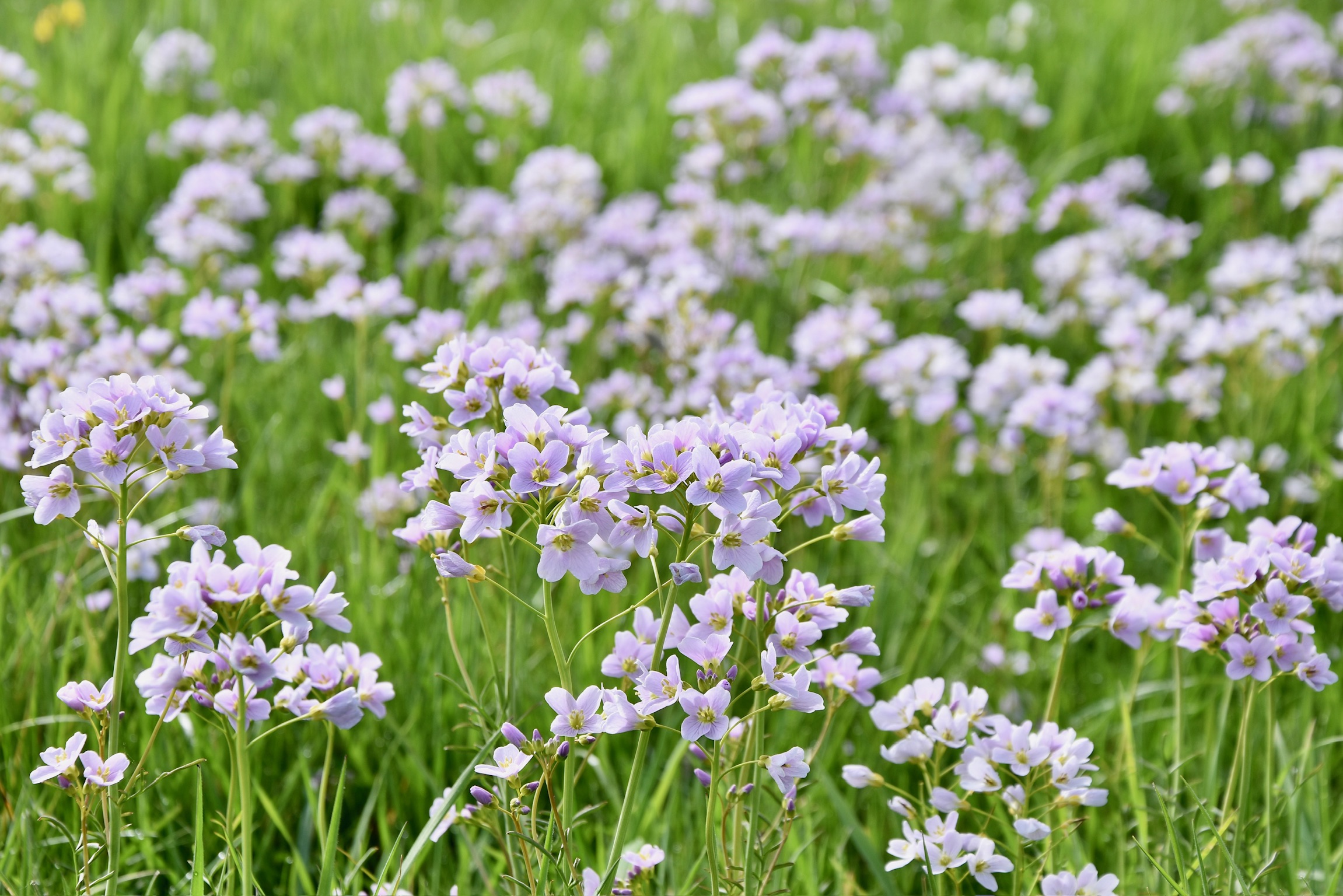
Another kilometre or so of following the Halerbaach (look out for the pretty little waterfall in the photo below), you climb up out of the forest and onto the Haller plateau. Highland cattle aside, there’s nothing particularly special or interesting about this next section of the trail – on asphalt farm roads through fields and briefly into the village itself – but it’s a pleasant change of scenery. As you approach the other side of the village, expansive views over the Beaufort plateau begin to open up. At the local cemetery, you begin to walk through apple orchards and wildflower meadows, particularly enjoyable in late spring as they burst into bloom.
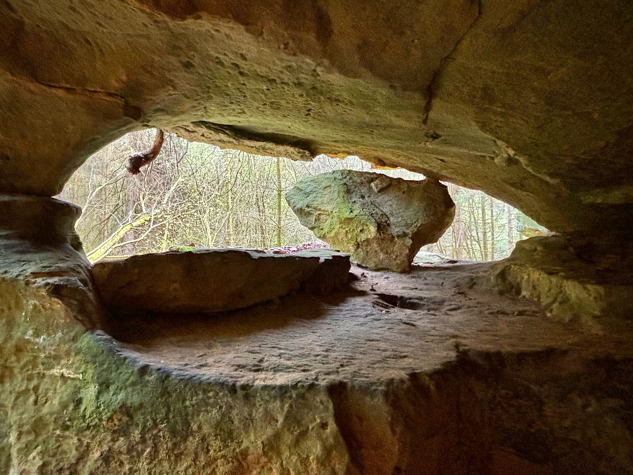
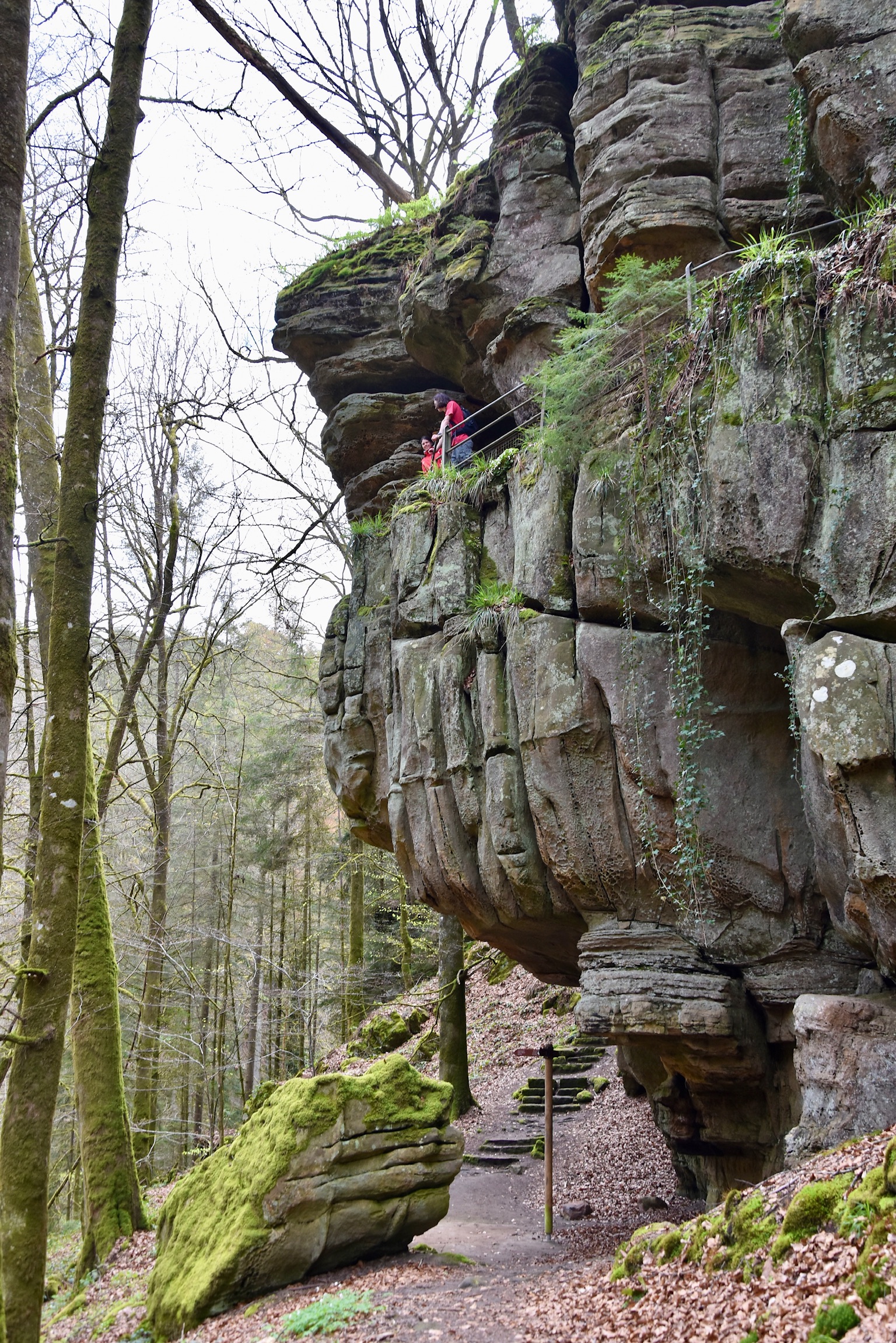
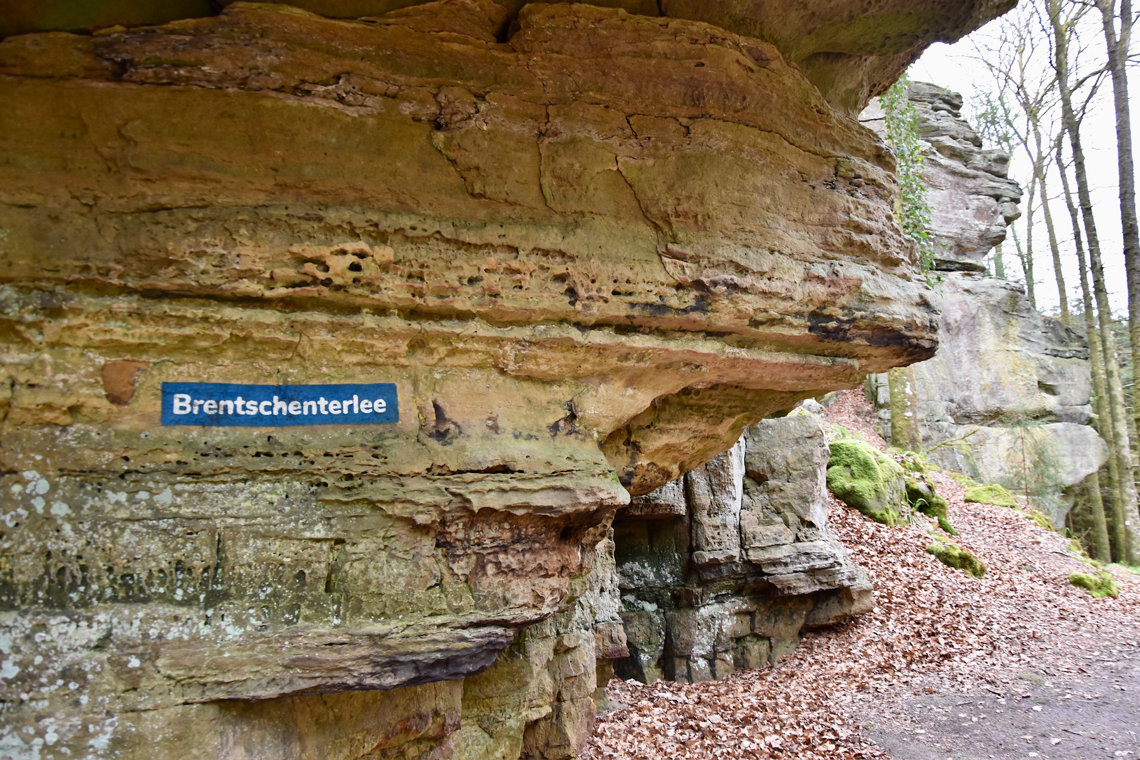
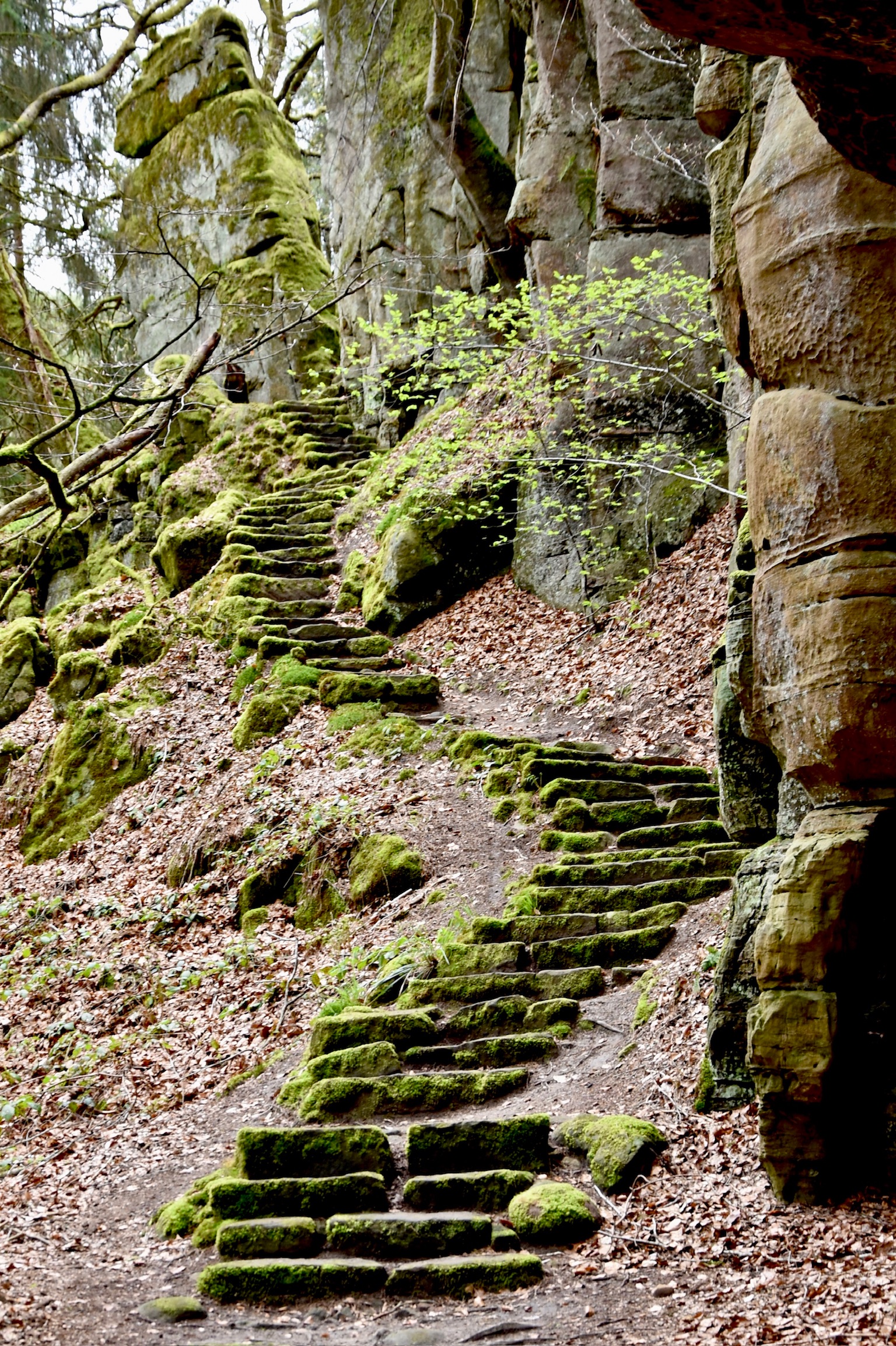
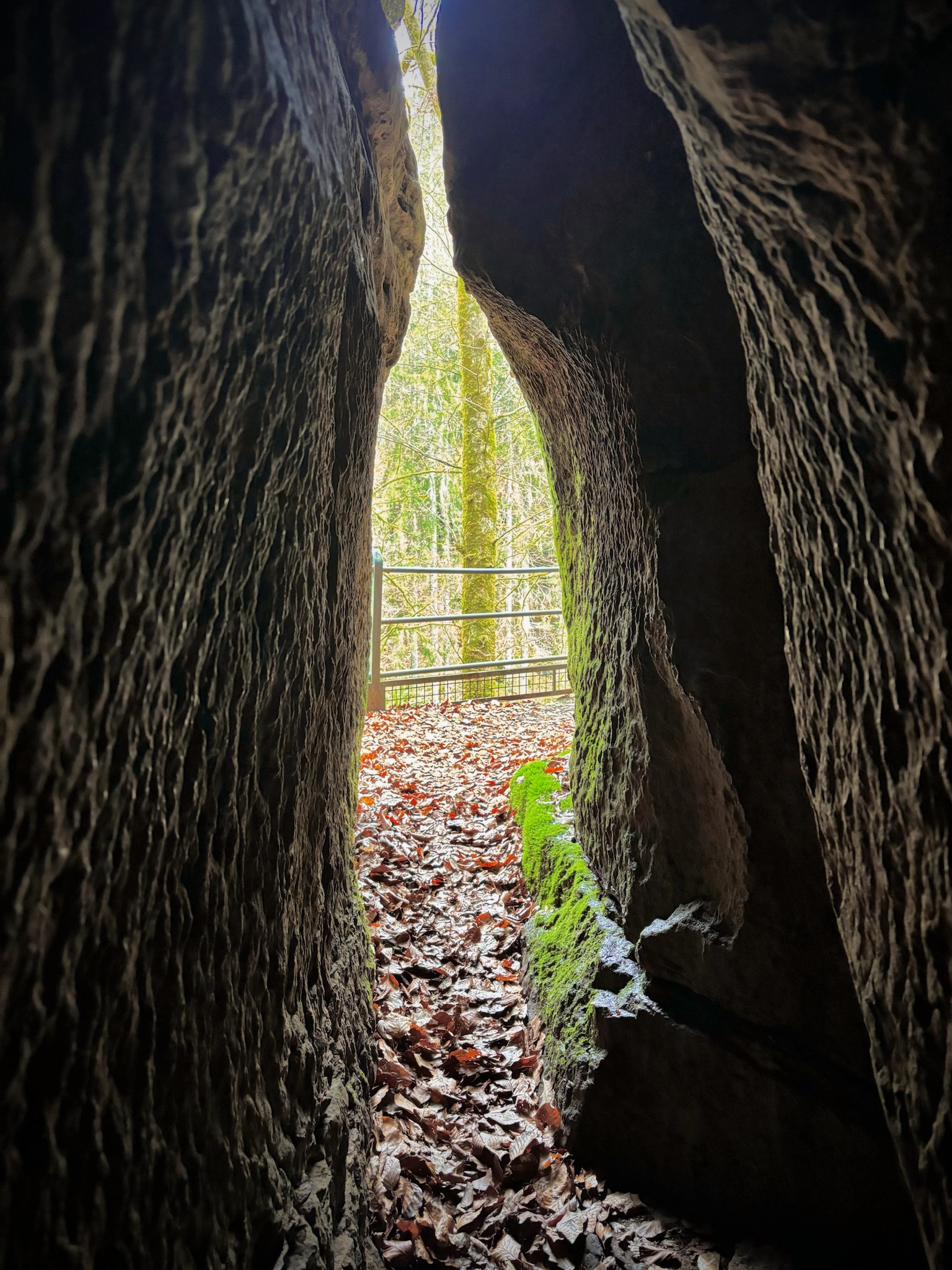
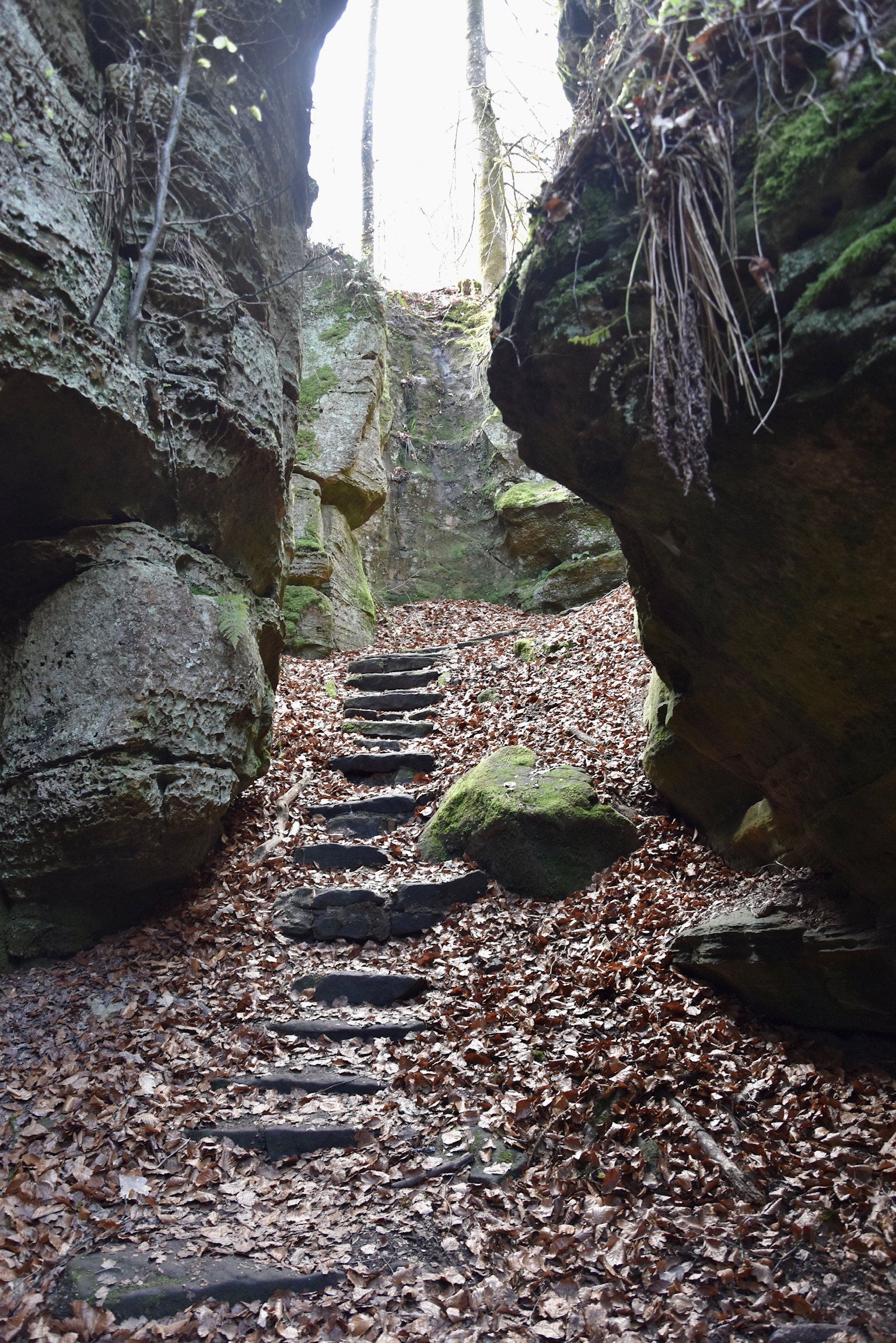
“Mullerthal in miniature” is probably the best way to describe the trail as it leaves the pastures and enters the forest once again. You’ll wind down a steep set of sandstone steps through a small canyon to the base of the “Brentschenterlee” rock formation. Don’t miss the opportunity to look for the small entrance which leads you high up into an outlook inside the rock itself. Just the other side of this place, a beautifully-curving stone staircase leads you to more rocky curiosities, notably the “Roman Head” formation.
And you will probably be the only one there…
From the drama of the Brentschenterlee rock formations, the trail gently decrescendos back to the starting point on a wide gravel path, accompanied, as before, by the rippling waters of the Halerbaach stream. This trail may not showcase the classic “Instagrammable” sights of the Mullerthal, but you’ll probably feel more refreshed and satisfied from your afternoon in the woods than if you were battling the crowds.
Links / further information
- Official website (does not include short detour to the bunker)
- Our tour on Komoot (distance seems off: 7km is plenty)
All images and text (c) 2025 Jonathan Orr

[…] W4 Haller – 7km – A quieter, more varied trail. A short diversion takes you to the WWII chapel on the B7. […]
LikeLike