

- An 11km loop along the Sauer valley that mixes riverside glimpses with towering forest crags and a surprising slice of WWII history.
- Start in the car park in Grundhof or – as I did – from the forest car park between Beaufort and Dillingen.
- By bus: Grundhof “Grondhaff” or “Bei der Ernz”.
If you want to explore the beautiful Sauer river as it passes through the Mullerthal, my advice is to grab yourself a kayak in Dillingen and enjoy the watery ride all the way to Echternach. But if you prefer to keep your feet dry, the Auto-Pédestre Grundhof offers a solid alternative.
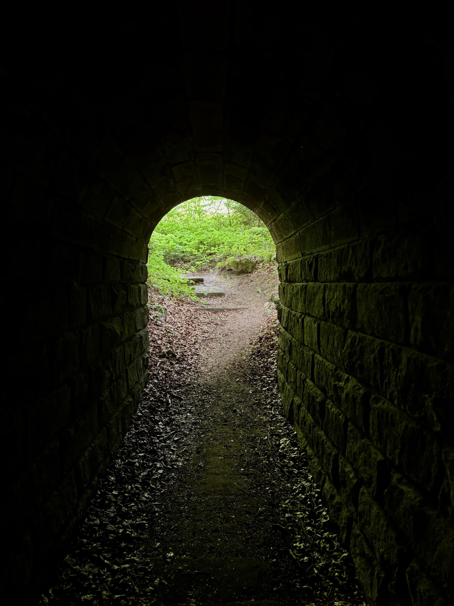
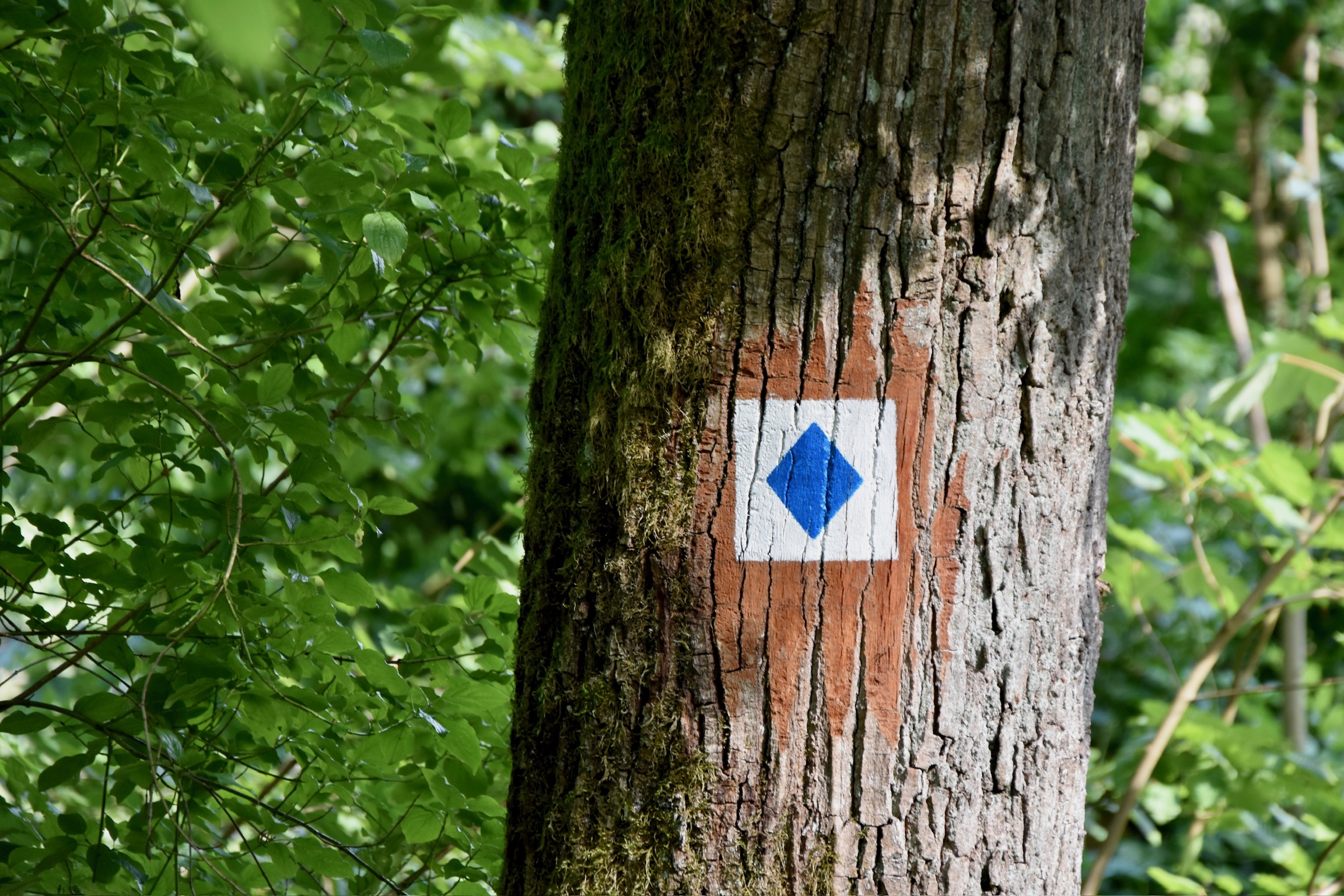
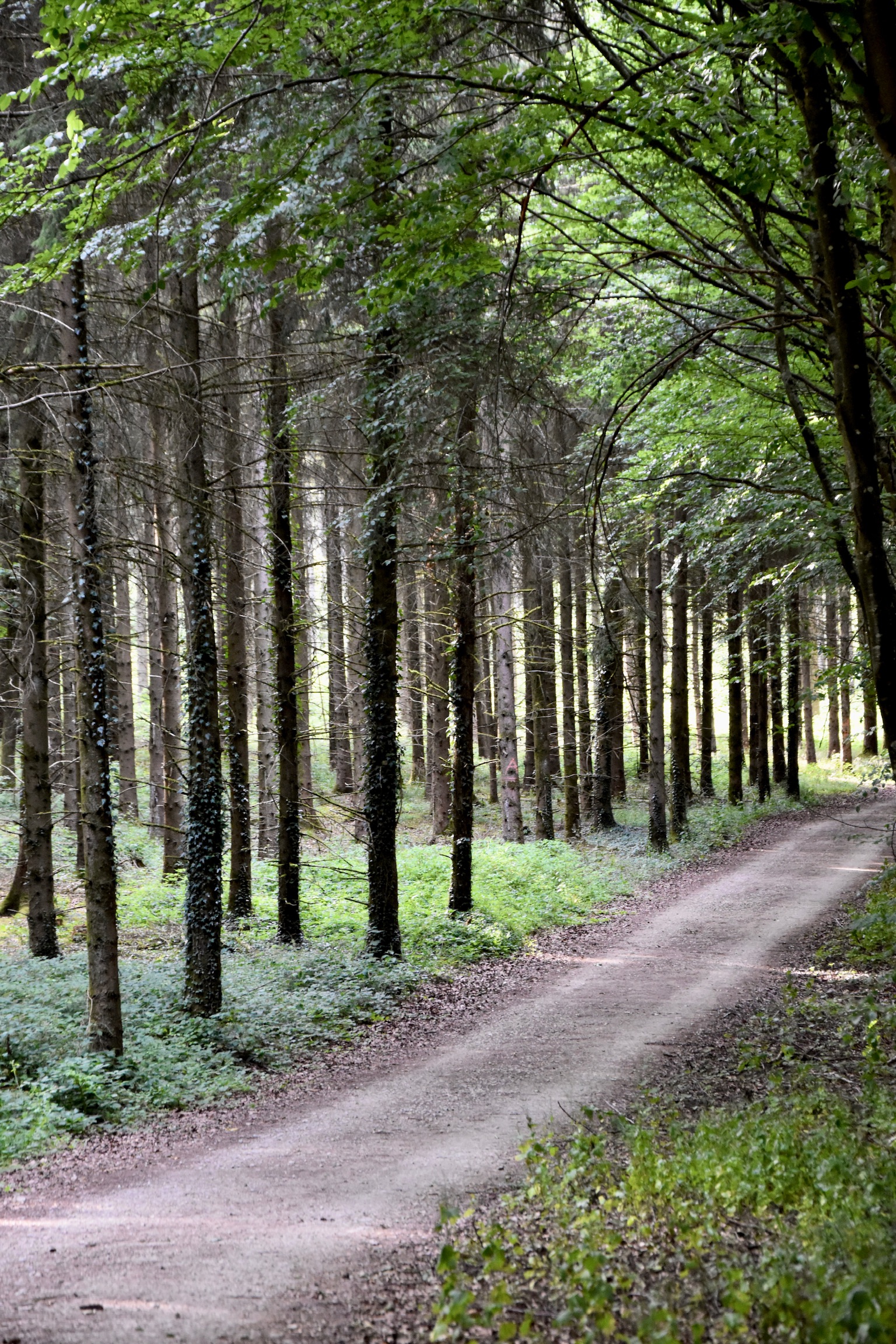
This is a relaxed 11km loop with both riverside and hilltop perspectives of the Sauer. Officially, the trail starts in Grundhof, but I wanted to begin my hike in the peace and quiet of the Mullerthal woods. Parking my car where the trail crosses the CR364, I walked first through a dark tunnel as I followed that familiar blue diamond through a forest wonderland towards Dillingen… and some truly special reminders of World War II…
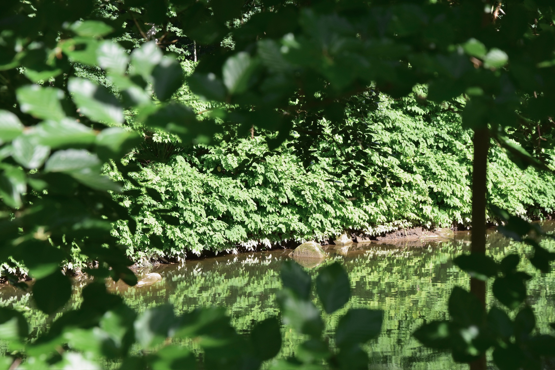
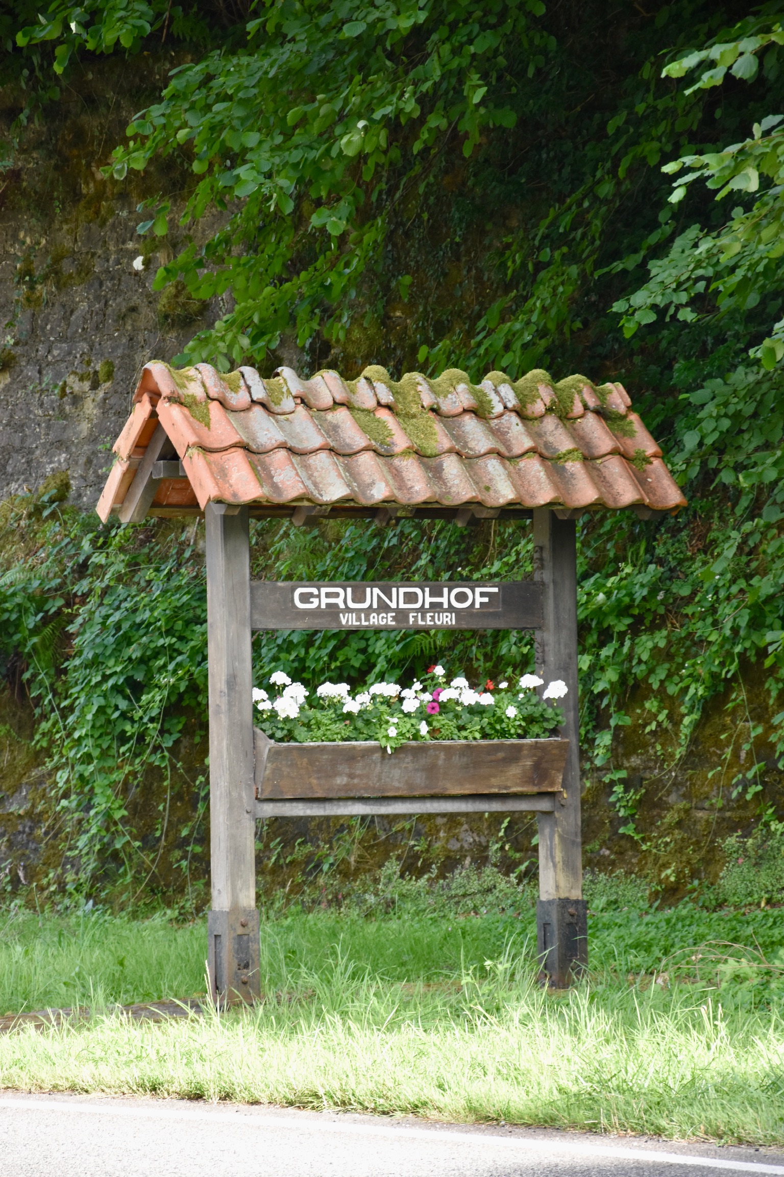
If I’m being perfectly frank, the stretch of trail from Dillingen to Grundhof doesn’t quite deliver. Whilst the river itself is undeniably pretty, you never really get close enough to it to fully appreciate its beauty. Instead the trail follows the cycle path above the river, which itself runs alongside the busy N10 road. Tranquility, for this section of the hike at least, isn’t an option. Still, it’s an easy walk – flat and smooth all the way – and those tantalising glimpes through the roadside foliage are well worth it. And before long you’ll find yourself in Grundhof.
TIP: There are several restaurants in Dillingen and a fancier hotel / restaurant in Grundhof. Also in Grundhof are vending machines selling soft drinks, snacks and, bizarrely, tins of meat…
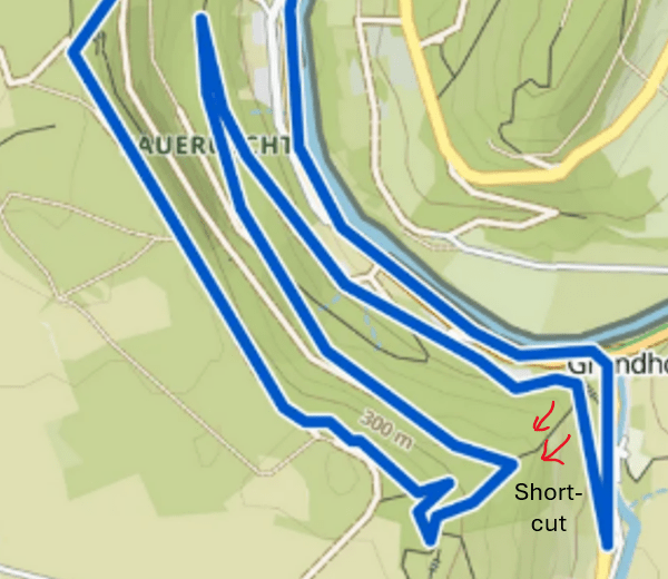
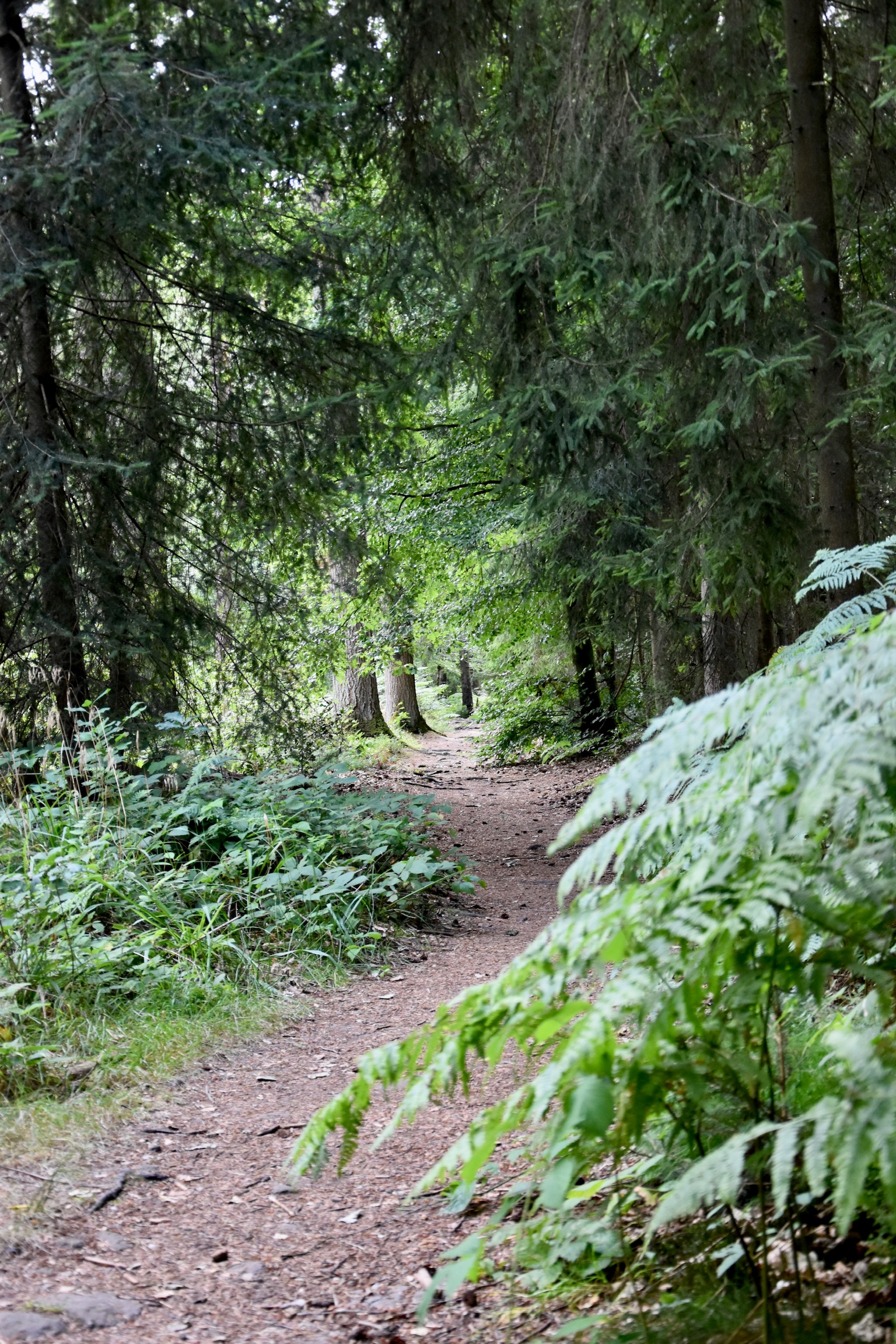
The trail leads out of Grundhof hamlet alongside the road and past another campsite before turning sharply away from the traffic and up into the forest. You’re on your way to the top of the Beaufort plateau now, promising stunning views over the Sauer valley. However, before you get there you’ll need to take a lengthy wander deep into the Sauerriicht Nature Reserve. This detour is a welcome peaceful respite, but it doesn’t offer any major highlights. If you’re short on time or energy, a shortcut (see map below) avoids this section and trims about 3km off the trail.
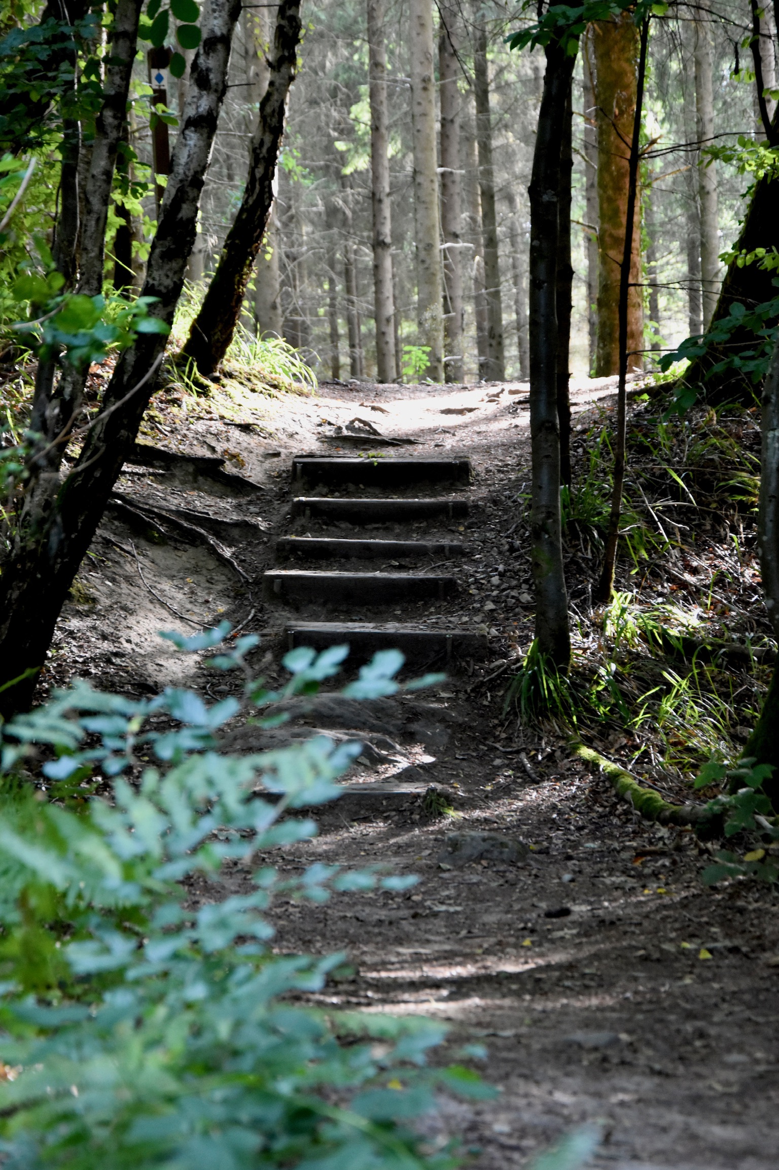
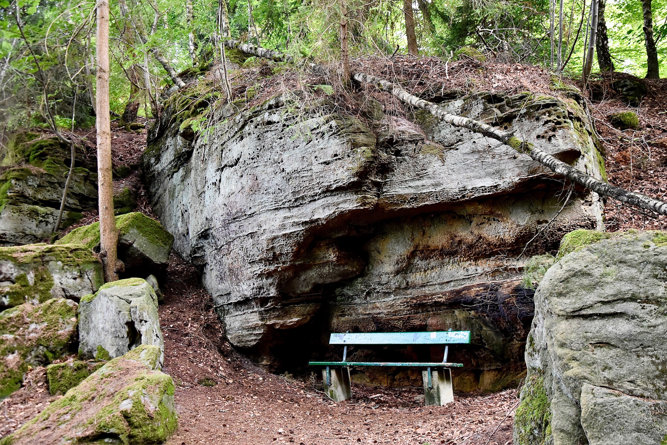
Having finally reached the top of the valley, the remainder of the trail is, quite simply, a delight. You are basically now following one of the sweetest sections of the brilliant B1 trail, only in the opposite direction. A brief taster of classic Mullerthal rock scenery, followed by a serene meander through pristine forest will take you to the doorstep of one of the most special – and almost completely unknown – spots in all of Luxembourg: the Beaufort WWII tree graffiti.

During the Battle of the Bulge in winter 1944, American soldiers held lookout positions on this high strategic crag over the Sauer valley. They passed their time by getting creative with the local beech trees, carving their names, dates, and symbols into the bark. Many, of course, have been lost with the years, but for a magical stretch of a few hundred metres along this trail, you can find several of these poignant messages from the past. It’s a rare kind of treasure hunt: fading ghosts of 1944, carved into the bark.
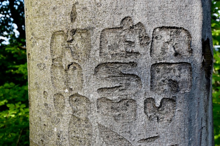
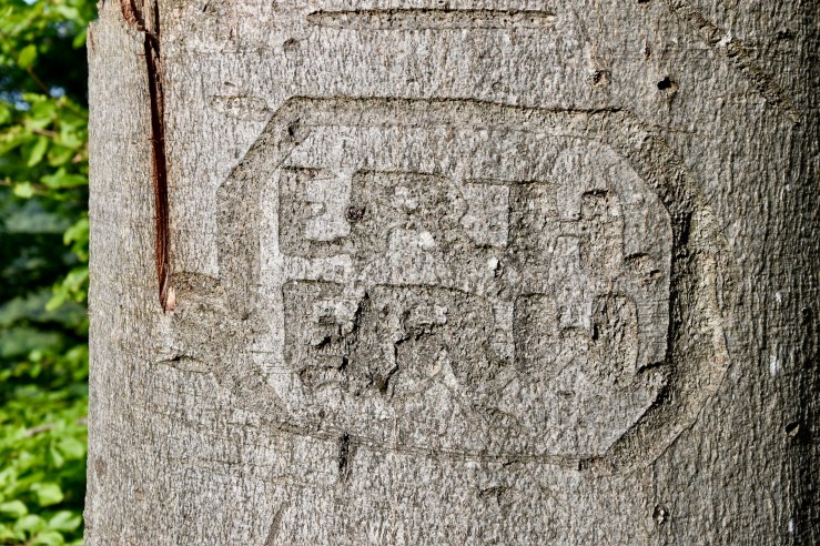

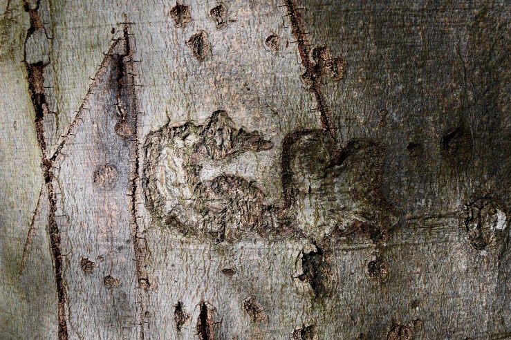
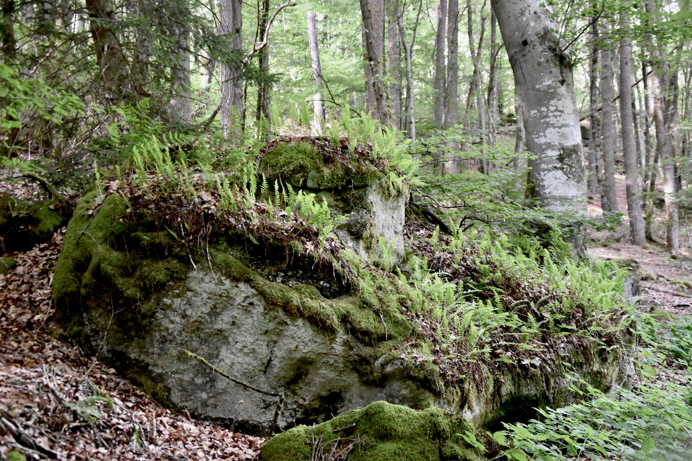
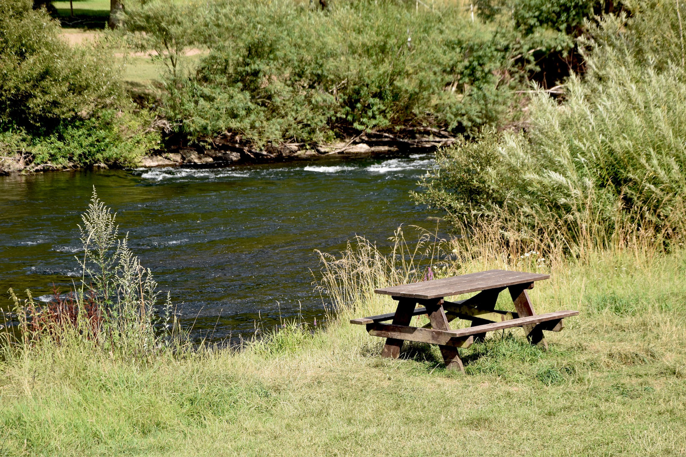
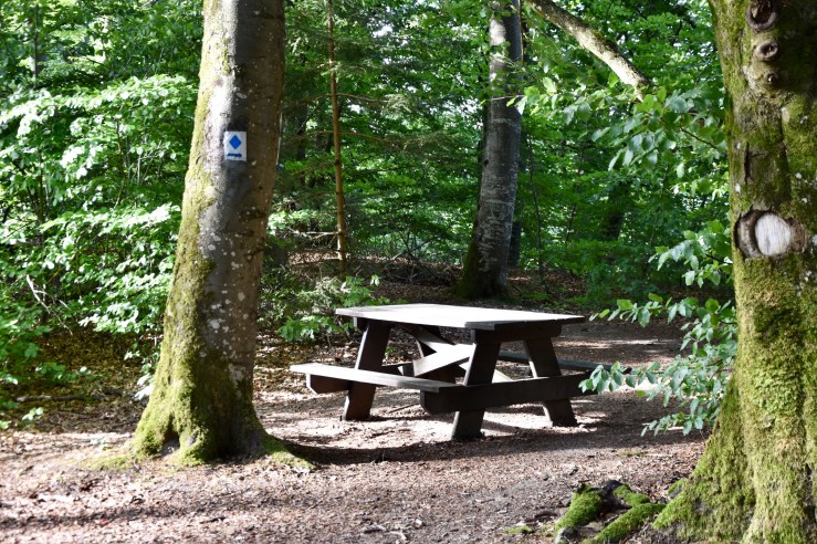
TIP: The tree graffiti is not signposted or marked in any way; finding them is part of the fun. Begin your search shortly after the picnic table shown in the picture below, and continue until the path stops rising after a short, steep section. Most are on the right-hand side of the path, directly on the edge of the ridge. They are more easily visible in drier weather. Have fun!
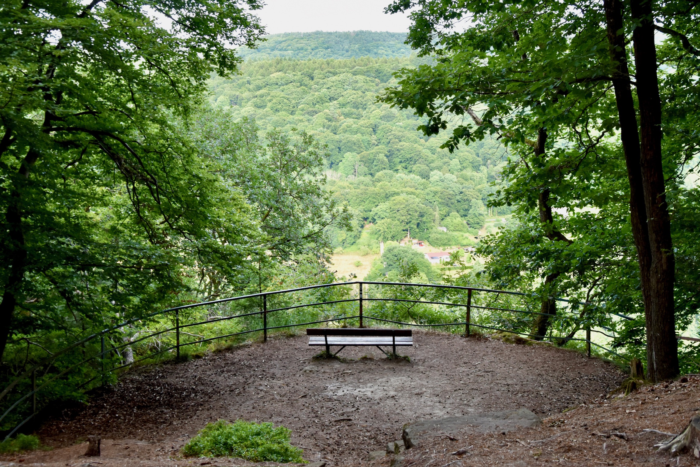
Your unique history lesson now completed, it’s back to what the Mullerthal does best: stunning geography. Ferns and bilberry plants spill over onto a leaf-litter path veined with roots and shaded by lofty beech and sweet-smelling pine trees. It’s glorious stuff, it really is. There’s another viewpoint too, (of course there is!) and it’s probably the best of them all: a perfect vantage point over the gentle curve of the Sauer some 150 metres below. From there, it’s a short, dreamy stroll back to the starting point.
The roar of the N10 is long forgotten. But those viewpoints, and those fleeting ghosts of the past, will stay with you much longer.
Useful info
Visit Luxembourg website of the AP Grundhof, showing a starting point in Grundhof itself.
All photos and text (c) 2025 Jonathan Orr
