
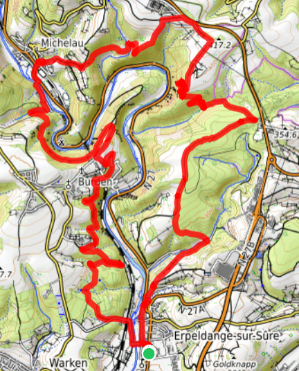
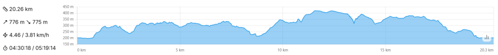
- 20km – Challenging – 5-6 hours
- A physically demanding loop trail giving a delicious taster of the Eislek region. Great views over the Sauer valley and glimpses of Bourscheid Castle.
- Park at the church in Erpeldange, near Ettelbruck / Diekirch
- By public transport: Erpeldange Kiirch (bus) or Michelau Gare (train)
Want to explore more of Luxembourg’s high Eislek region but don’t quite know where to start? Erpeldange, just north of Ettelbruck, styles itself as “la Porte des Ardennes“, and this 20km loop starts directly from the village church. The trail may not have the most spectacular sights or the steepest, highest hills in the region, but it does give a tasty flavour of what to expect when hiking “up north”, while maintaining a quiet charm all of its own.
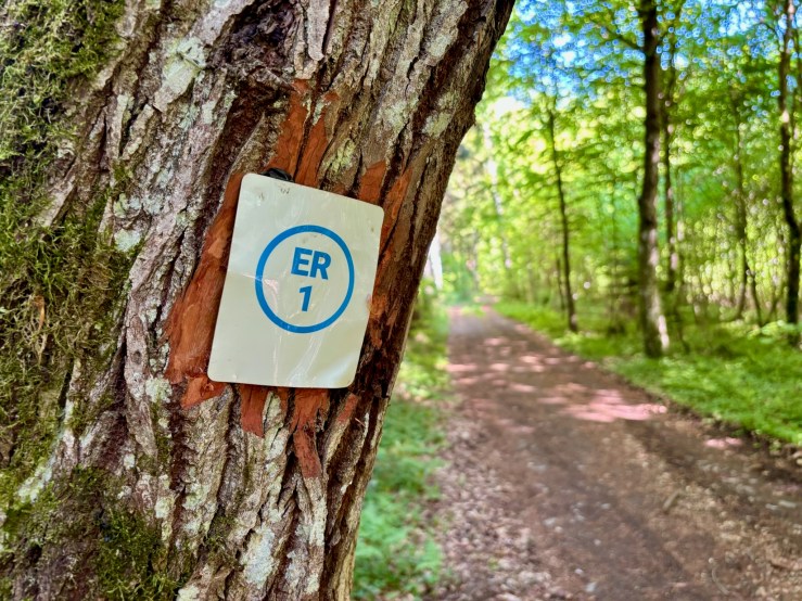
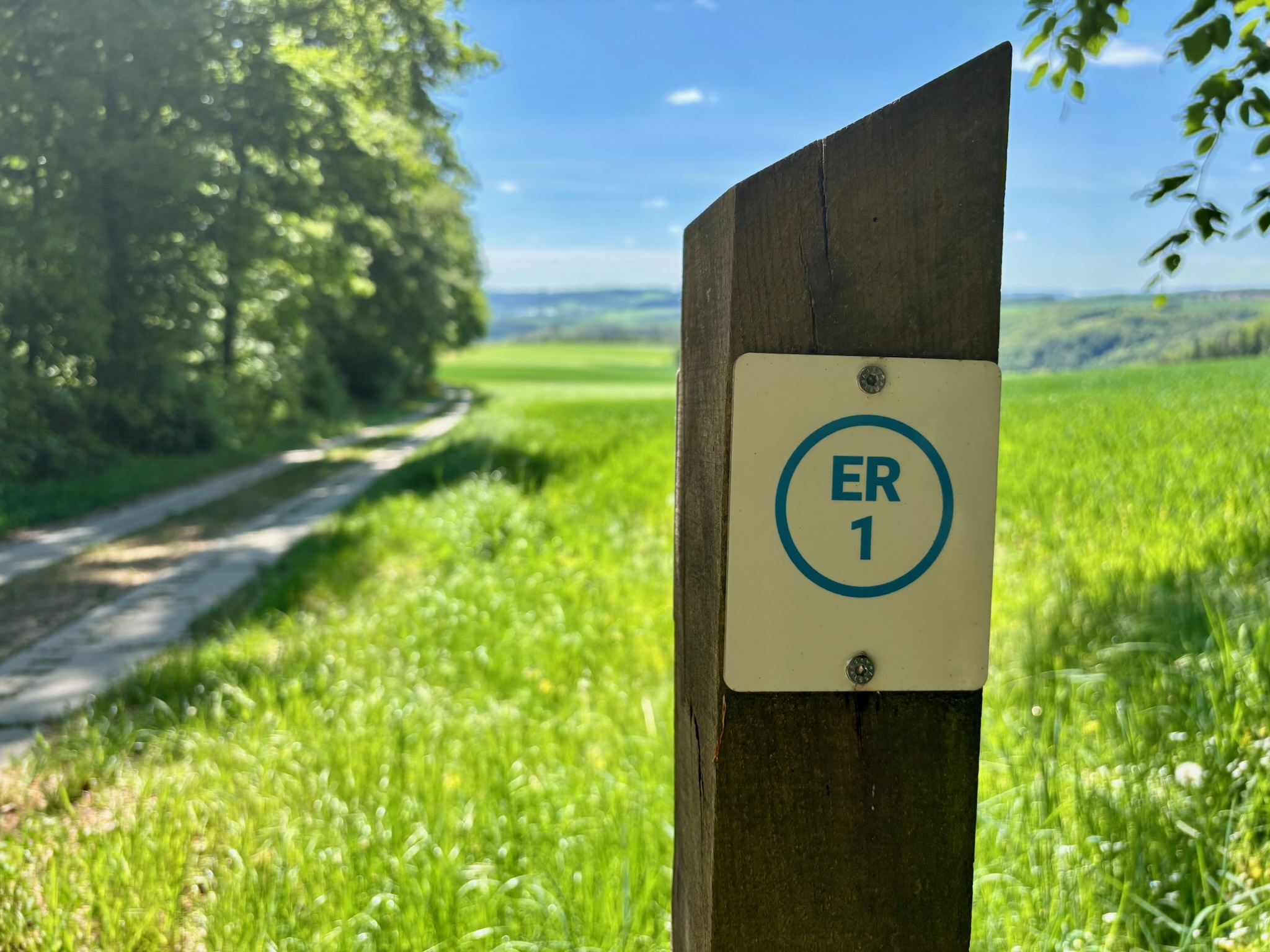
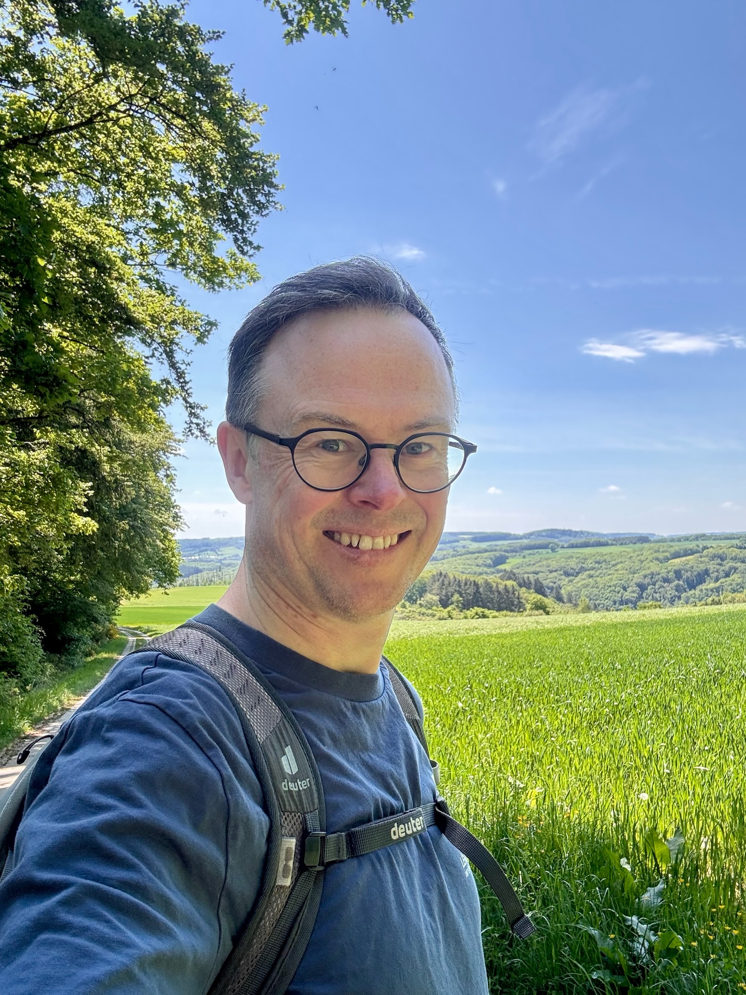
Brilliant, harsh mid-morning May sunshine: not the best for photography, so I made an executive decision to leave the heavy Nikon SLR in the car and set off on the ER1 in light mode.
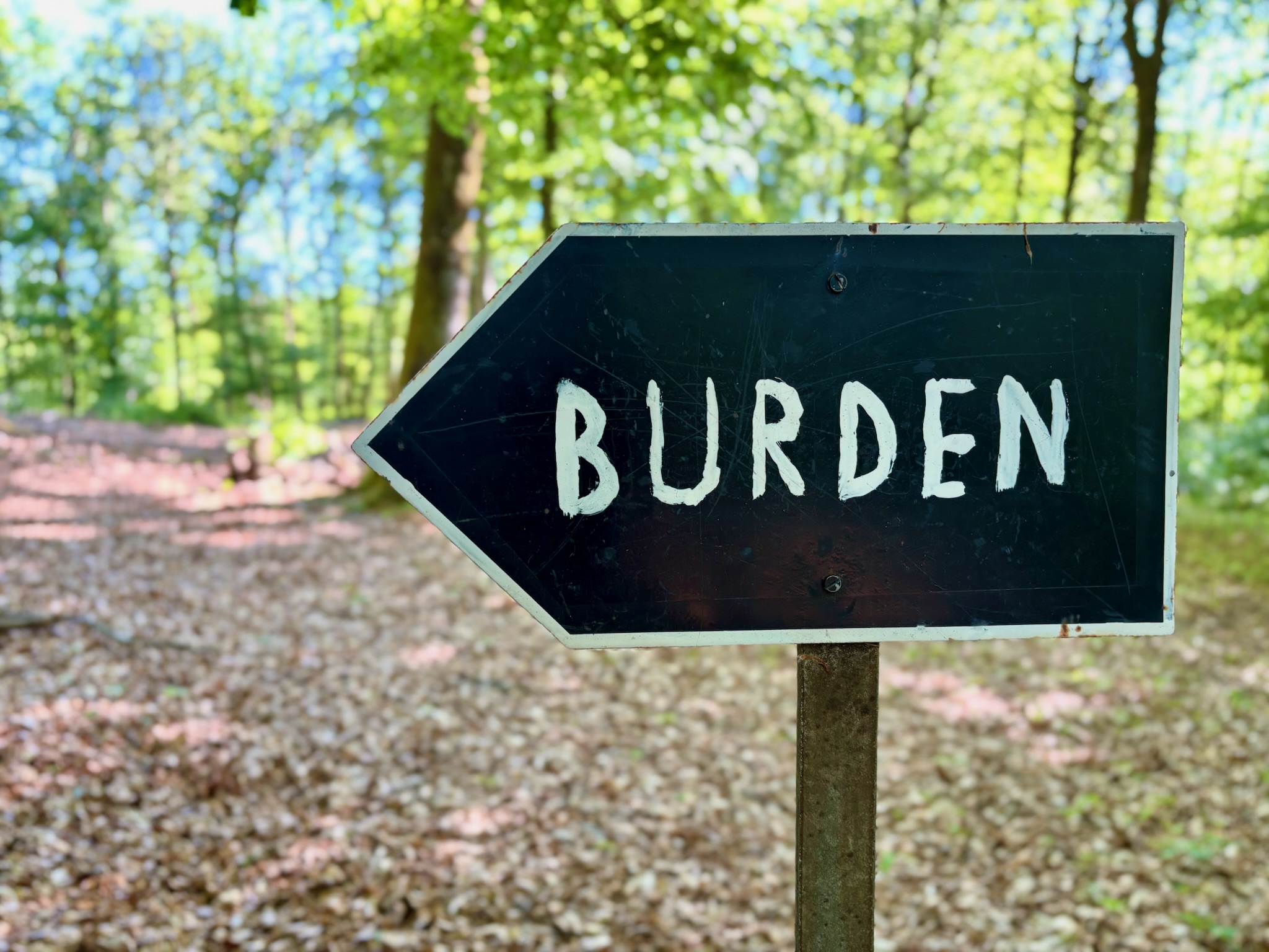
After a gentle start through the streets of the village, the trail crosses the railway line and begins to climb almost immediately. The sweat already beading on my forehead was a welcome confirmation that this trail had promise: I had come here for a challenge, and the ER1 was clearly going to be a proper walk. It is twenty kilometres long, difficult on paper, and very much not one of those polite Guttland-style Luxembourg loops that gives you a gentle forest path and sends you home in time for lunch.
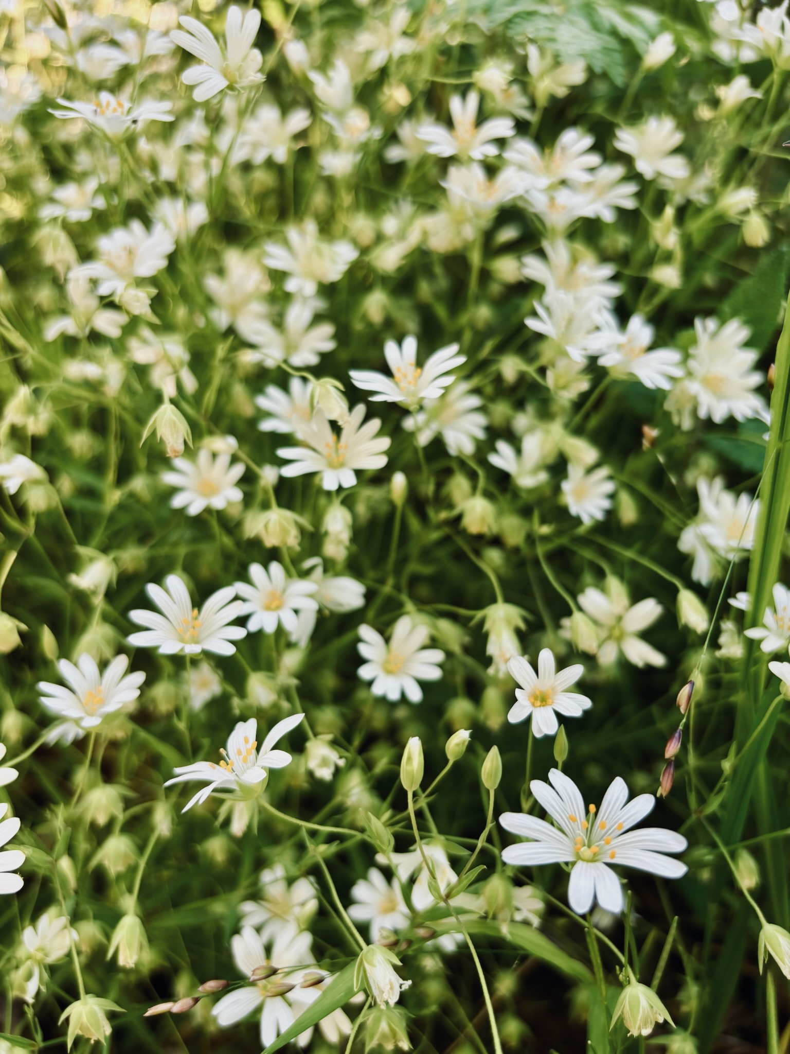
The early forest was glorious. Mid-May, and full-blown summer leaf had arrived in the Eislek. Birdsong filled the air, while my footsteps seemed muffled on the earthen track as it rose and fell. By three kilometres, my first water bottle was already half-drained. Nothing was brutal, exactly, but the pattern was constant: gentle down, steeper up, repeat, until I reached the edge of the valley, high above the Sauer. As I caught my breath on this flatter section, I spotted a huge landslide scar on the opposite side of the valley; a stark reminder of just how sharply the land falls away in the Eislek.
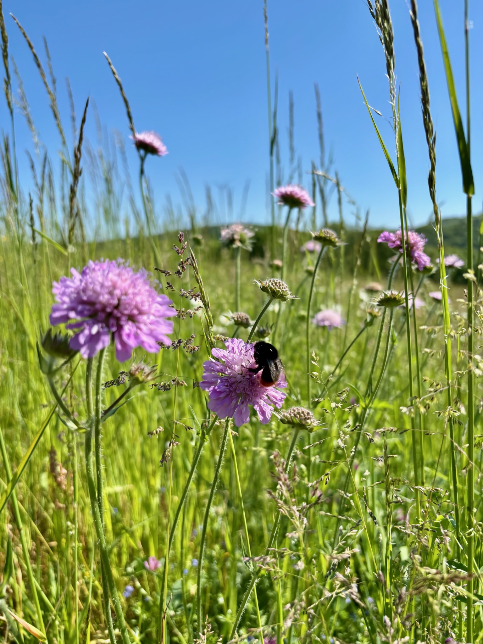
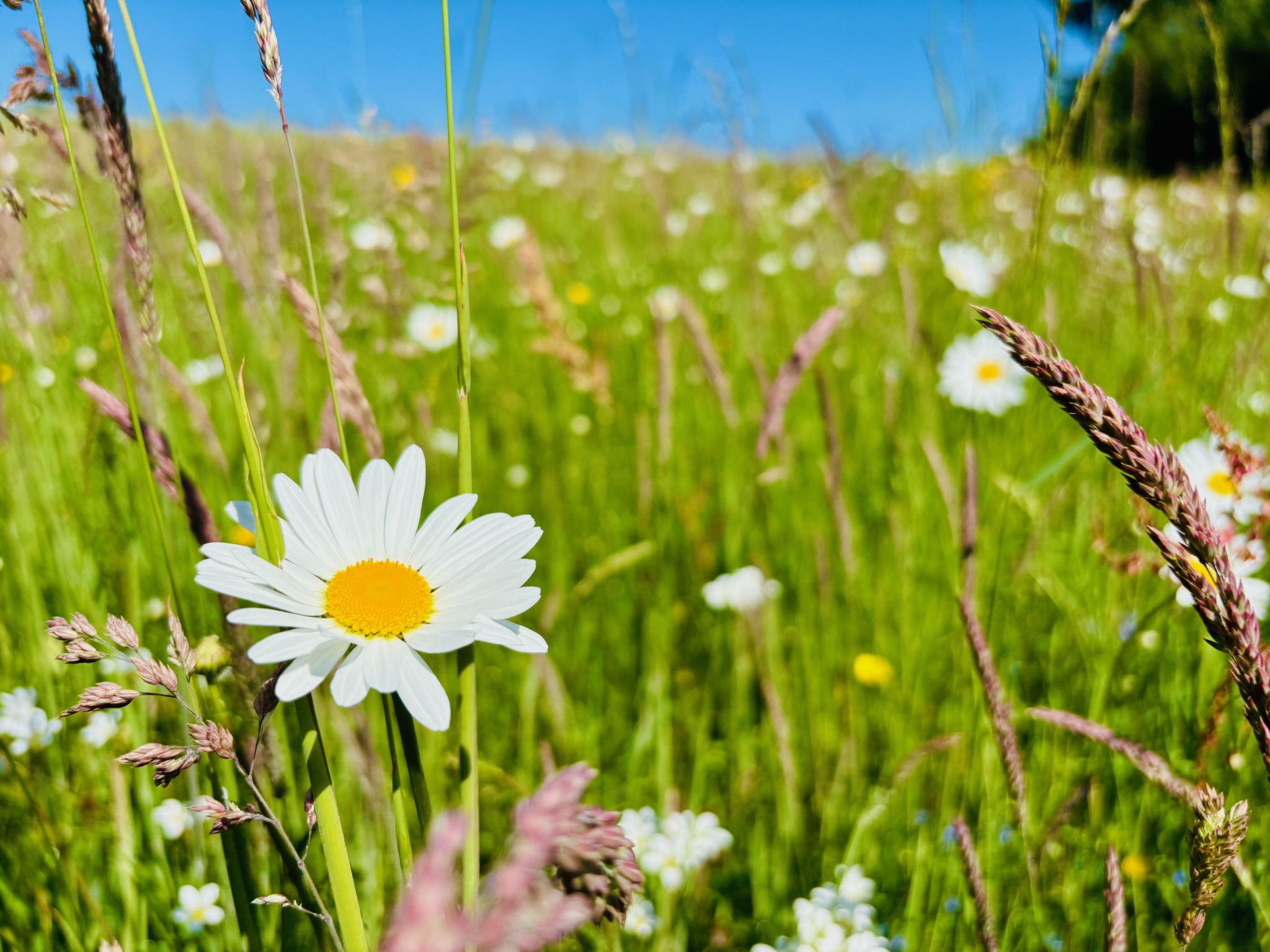
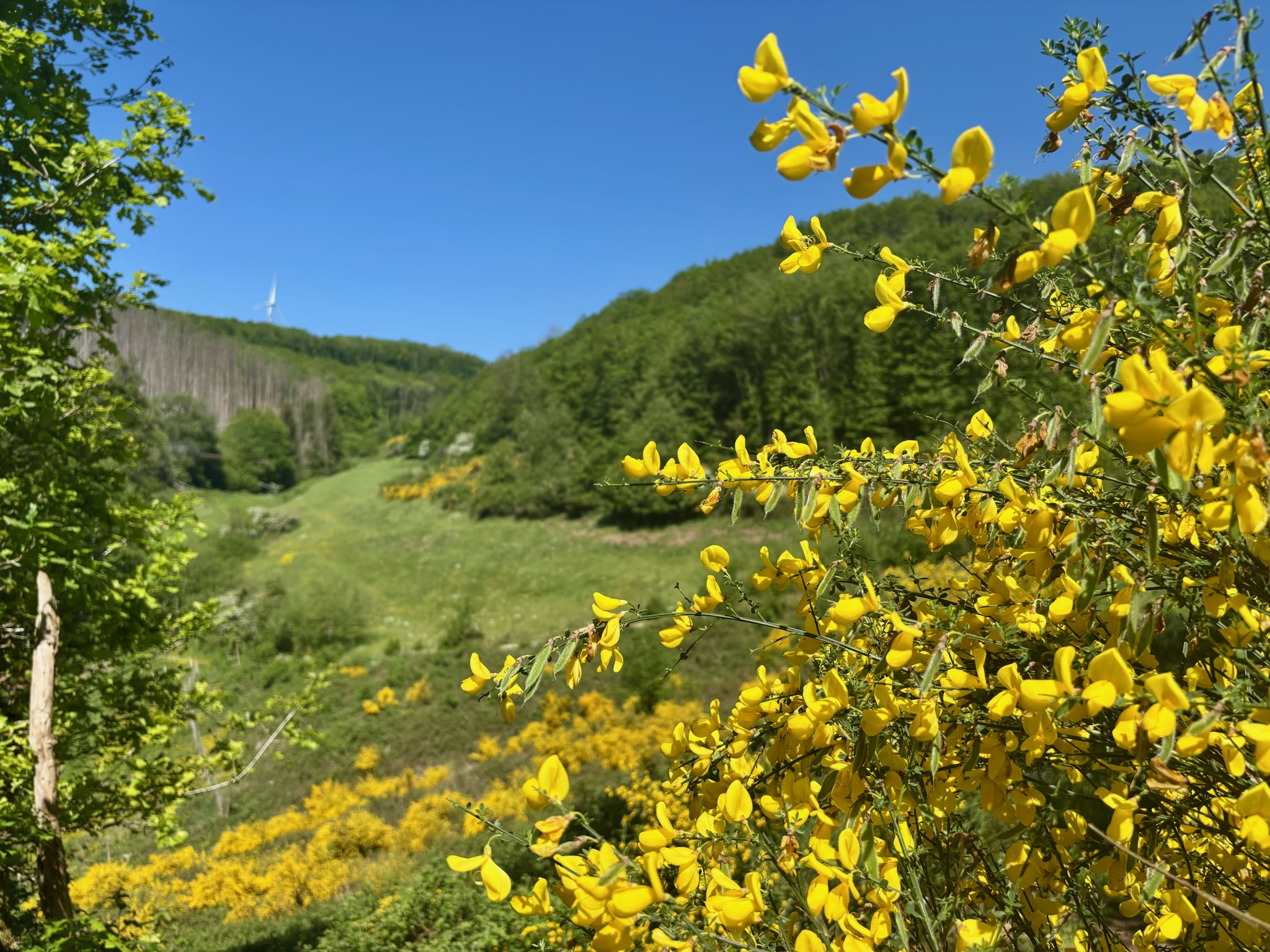
The ER1 continues along the edge of the valley, then opens suddenly into a grassy expanse: spring wildflowers dancing in the breeze and distant wind turbines spinning against a brilliant blue sky. It was a lovely shift in mood, oddly reminicsent of the lower slopes of the Alps. I took in the fresh air and flowery scent before the path dipped back into the forest once again.
The first real highlight of the ER1 comes after 6.5km at the Schaarfslee viewpoint. I’ve written before about how some sights simply defy the camera, and the Schaarfslee squarely falls into that category. I stood there for a while, trying and failing to make my phone understand what my eyes were seeing: sharp shards of rock tumbling down the hillside like the spine of a long-departed dinosaur, ridge after ridge cascading down towards the valley floor. Utterly beautiful, but not in a neat postcard way.
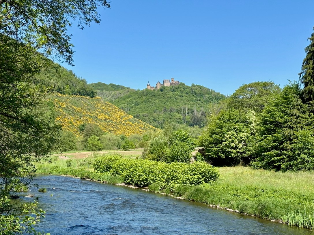
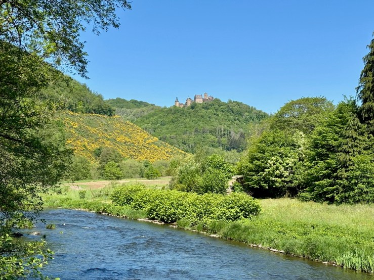
Soon afterwards, my first glimpse of Bourscheid Castle appeared through a gap in the trees. I instinctively reached for my Nikon, remembered I’d left it in the car, and had a demented little chuckle to myself as I walked onwards.
The village of Michelau is a natural (almost-) halfway pause in the hike. I took a long drink of water by the village church, taking in the brilliant view of Bourscheid Castle directly ahead. Suitably hydrated, I was ready to tackle perhaps the toughest gradients of the day, the narrow streets and paths heading out of the village and up towards (what felt like) heaven itself. Half way up, a bird pooped on my head, which feels like the sort of detail no respectable hiking blog should include but every honest hiking article secretly needs.
TIP: Want to access this trail easily by public transport? Simply take the train to Michelau (on the main line to Clervaux) and start your hike from there. Watch out for bird poop, though.
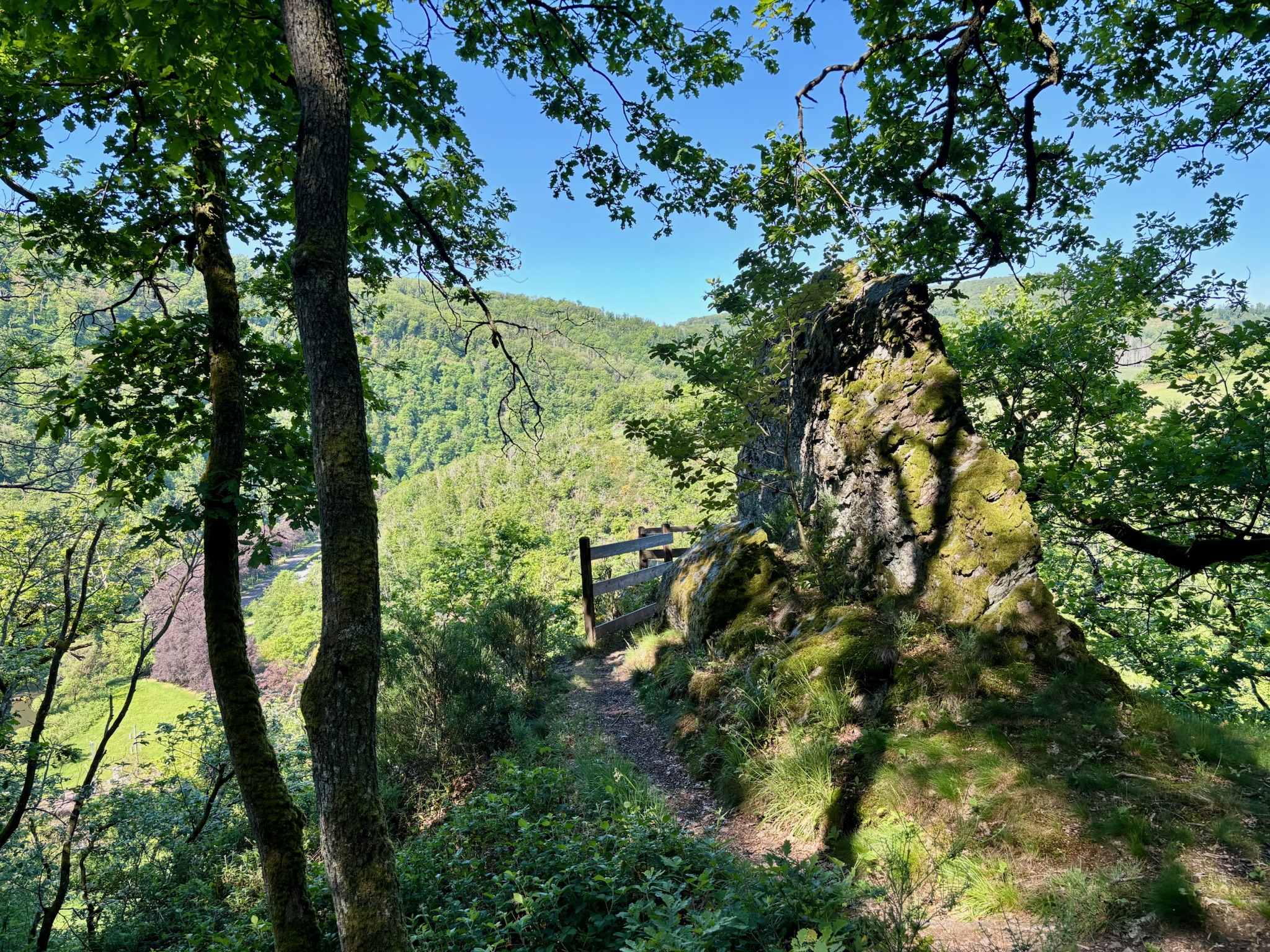
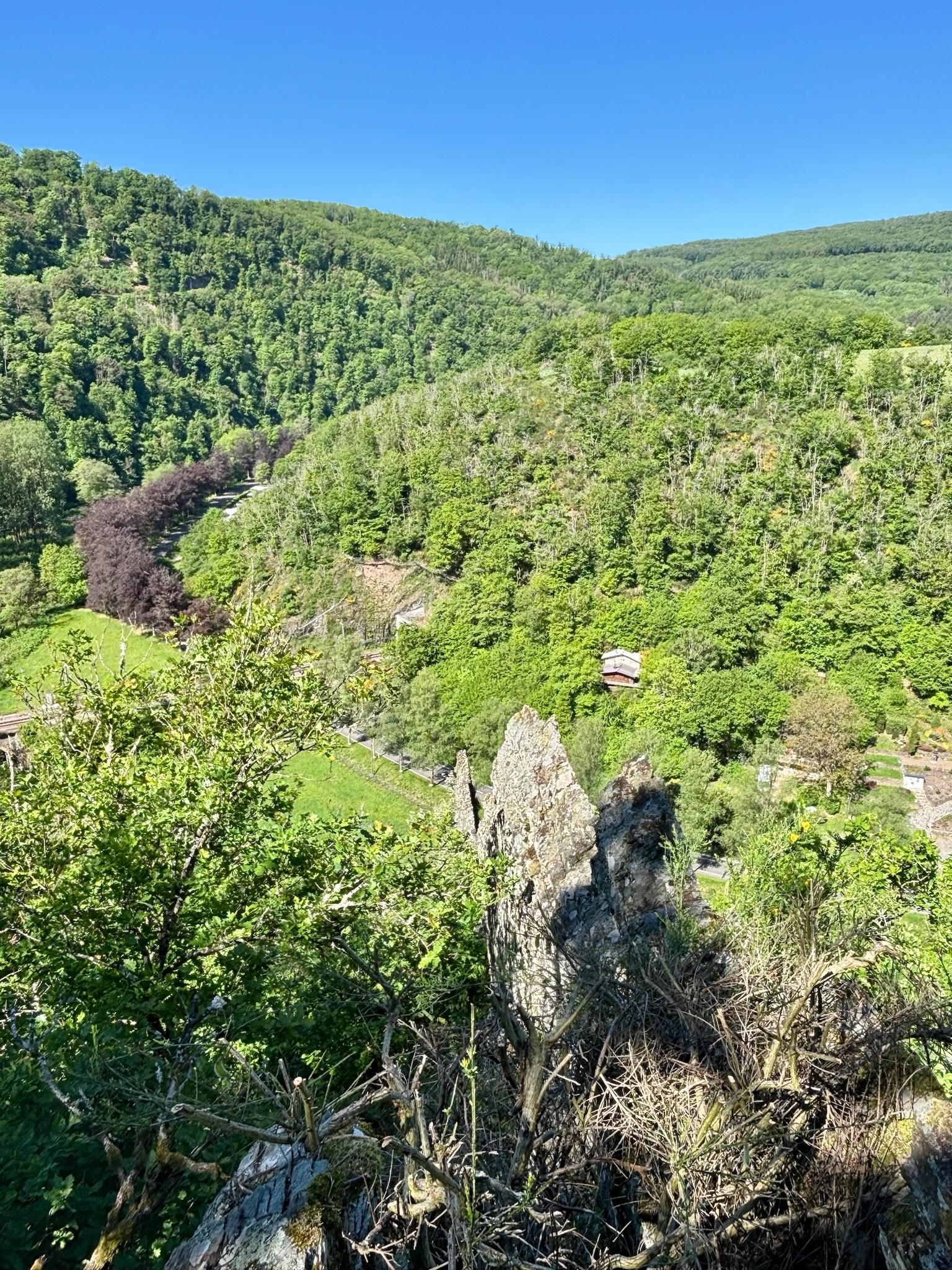
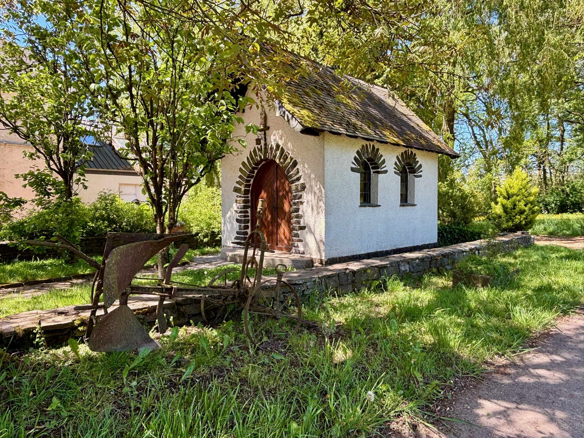
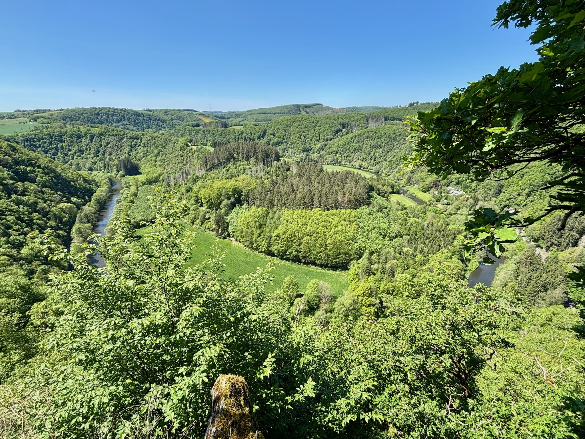
At this point, the trail follows the wonderful Escapardenne Lee Trail heading towards Ettelbruck. Pretty paths, lined with the brilliant yellow flowers of the ubiquitous Eislek broom rise and fall hypnotically with the land. I had planned to eat lunch at the cute Closdellt chapel, but I hadn’t foreseen (foreheard?) the roar of traffic from the nearby N7 (Nordstross), so pushed on to the trail’s star attraction – the Priedegtstull (Preacher’s Rock) viewpoint- instead.

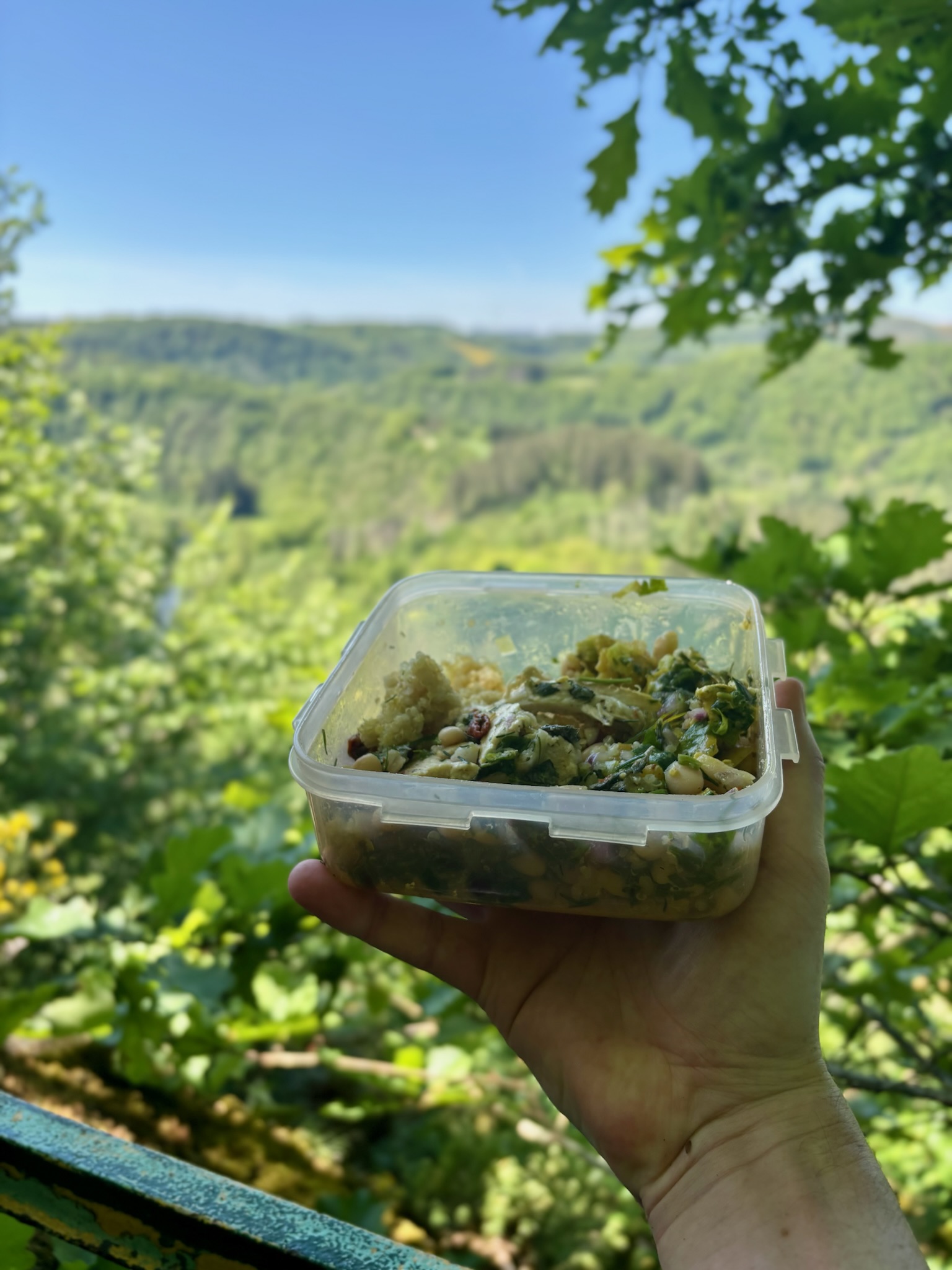
Finding a comfortable tree root just a metre or two from the edge of this vertiginous drop, I settled in and enjoyed my well-deserved picnic with a properly magnificent view.
After a short while, a Dutch hiker joined me at the viewpoint and went one step further, sitting on the railings at the very top of the rock, her legs dangling over the abyss as she soaked up a kind of landscape the Netherlands isn’t exactly famous for. “Are you afraid of heights?” she teased me playfully as I sat safely in my snug corner several metres below her. She certainly wasn’t.
TIP: The paths immediately to and from the Priedegtstull are by far the most technically difficult on this trail. I recommend bringing a hiking stick (or finding one in the undergrowth) to give you extra security and balance on this treacherous section, even if it isn’t necessary for the rest of the hike.
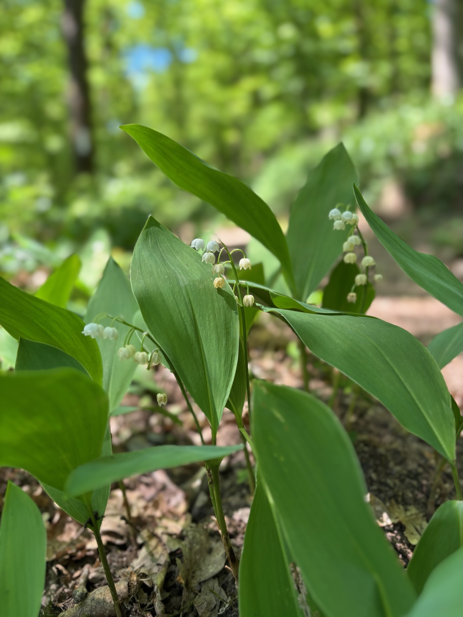
From the Priedegtstull, about 7km of the trail still remain and, if I’m being frank, there isn’t really a whole heck of a lot that stands out along the way (although I did let out an excited shriek when I spotted some wild lily-of-the-valley growing beside the path). The forest remains shady and green, the paths earthen and undulating and, from time to time, you can catch another glimpse of Bourscheid Castle if you look behind you through gaps in the trees.
Yep, it’s very much “get back to the car mode” from the Priedegtstull onwards.
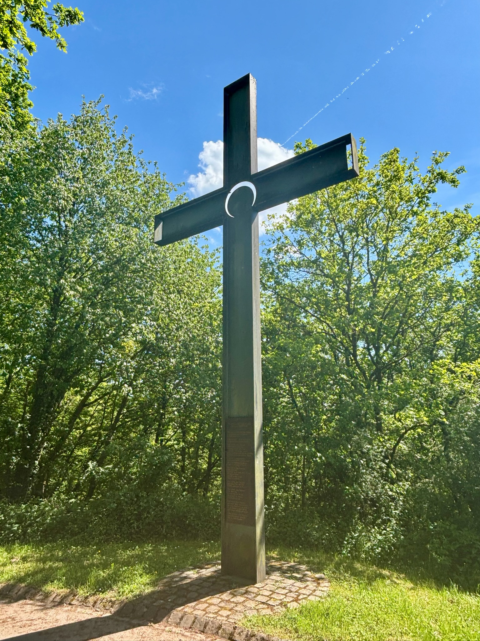
There were still small moments. At one point, the forest grew noticeably wilder, with fallen trees, rougher paths, and plenty of small animals rustling in the undergrowth. Emboldened in its natural territory, a beetle landed on my watch and decided that it liked it there, accompanying me for several hundred metres before flying off on whatever further business it had. Then, near the end, the scenery changed again: fields, natural hedges, wildflowers lining the path, Erpeldange appearing through the trees past a giant poem-bearing cross (not a typo), and the afternoon sun beating down hard on my sweaty back.
In summary, the ER1 is a fine hike with two or three superb passages, a demanding profile and a slightly overlong final act. It’s a rewarding day out in the woods, certainly, but there are other trails in the region that give you more bang for your buck, more sights per kilometre (hence the 3* rating).
If you’re looking for that perfect Instagram image, look elsewhere. If you want to walk up a sweat in wonderful natural surroundings and get a proper taste of the Eislek region, put this one on your list.
All text and photos (c) 2026 Jonathan Orr
Link to my Komoot track here.
