

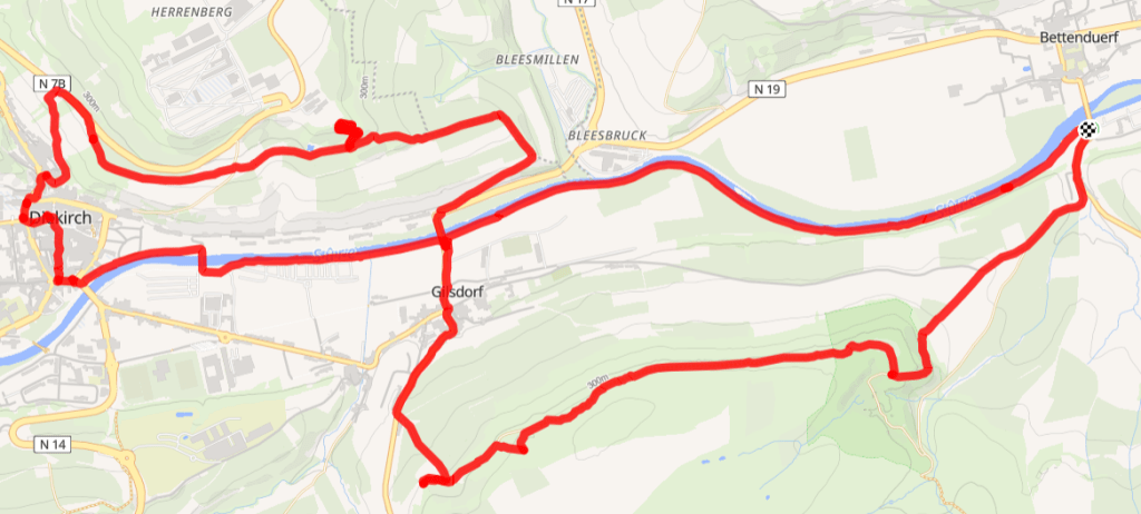
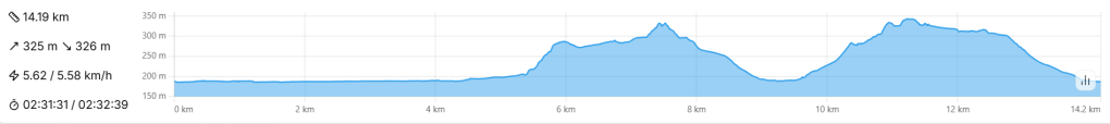
- 14km – Intermediate – 3-4 hours
- The shortest stage of the Sentier Adrien Ries, with a long riverside section, views over the Sûre valley, and a pretty woodland section near the “Schoofsbësch” quarry.
- Start from the centre of Diekirch. Alternatively, in Gilsdorf by the church or – as I did – by the bridge in Bettendorf.
- By bus: Diekirch Kluuster.
The Schoofsbësch – a gorgeous nature reserve formed from the bones of an abandoned quarry – is one of my favourite spots in eastern Luxembourg, and a peaceful 14km hike to it from Bettendorf seemed like a perfect use of my Saturday morning.
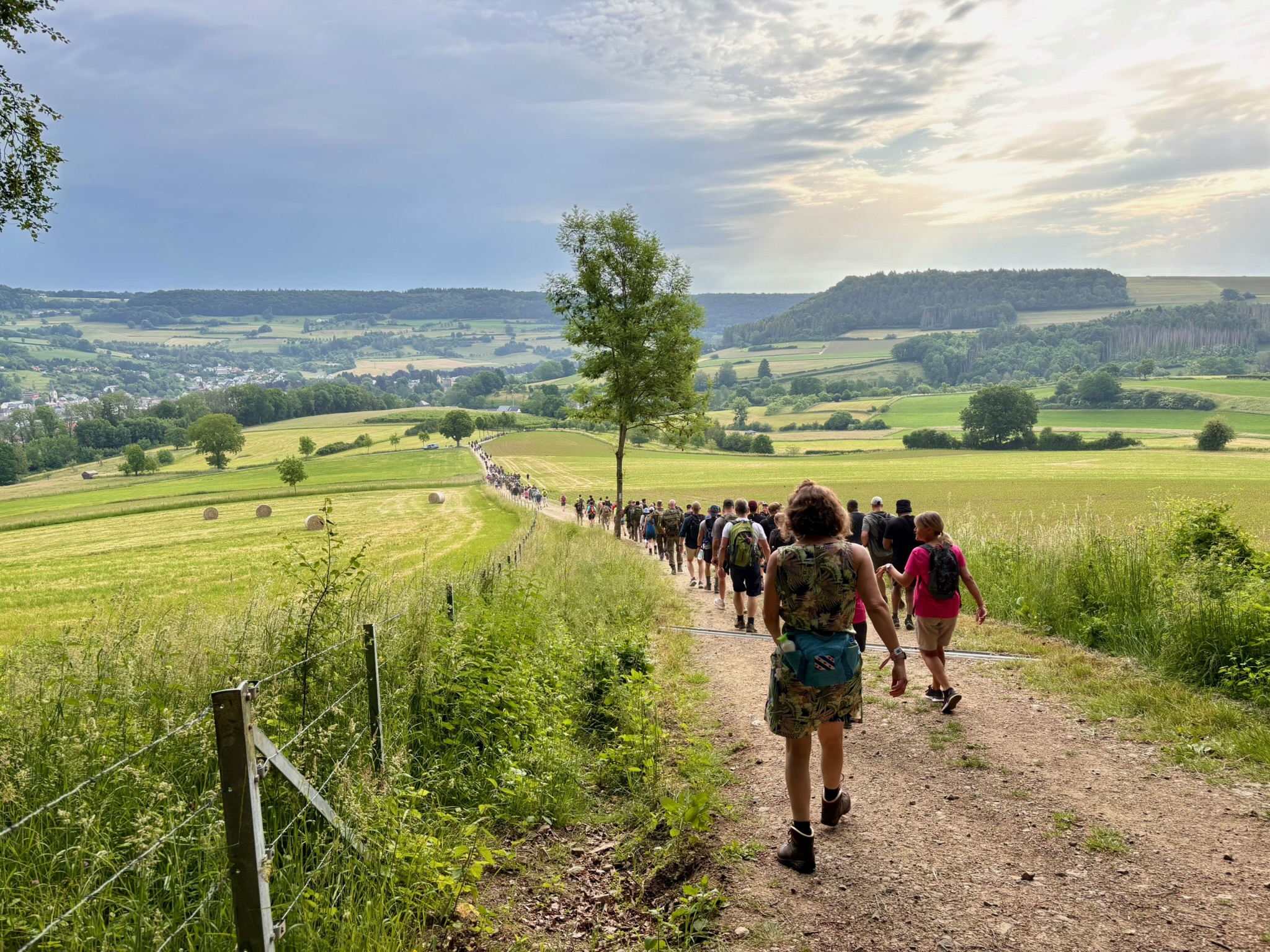
Unfortunately, the Marche Internationale de Diekirch (previously “Marche de l’Armée“) had other ideas… 8,000 other ideas, I’ve been reliably informed, a seething mass of rucksacks and military fatigues, all walking in the opposite direction to me.

I picked my way through the crowd for a kilometre or two… then had to abandon. There literally wasn’t enough footpath for me.
Fast forward 30 hours, and I returned to Bettendorf… and the 8,000 hikers were – rather impressively – still there, looking understandably more tired than on the previous day.
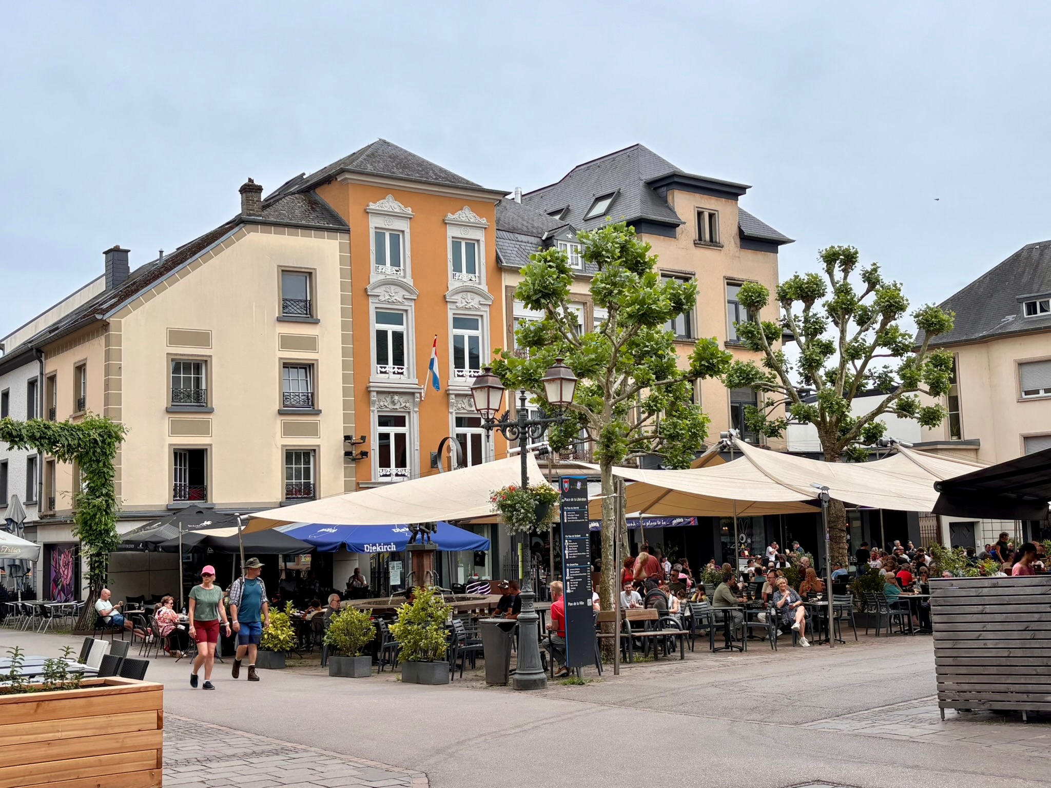
Well, if you can’t beat them, join them goes the saying, so I joined the weary masses trudging along the banks of the Sûre in the direction of Diekirch on the Sentier Adrien Ries (East).
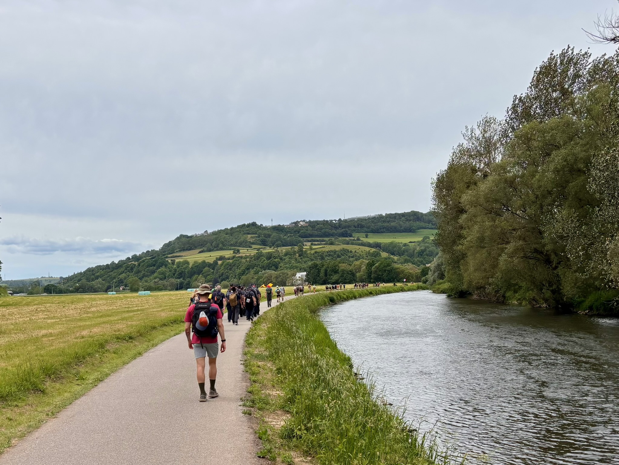
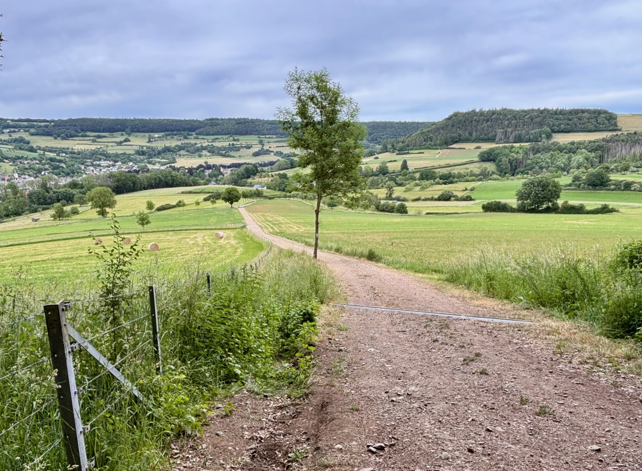
For the first few kilometres from Bettendorf, this Sentier – one of three stages – follows the Sûre valley. Under normal circumstances this section might have felt rather uneventful – a flat asphalt ribbon hugging the dark, subdued river – but the Marche transformed it into something far more interesting. I spent several happy kilometres observing the participants: heavily laden hikers, minimalist hikers, military enthusiasts, families, serious long-distance walkers and complete beginners. Weirdly, almost nobody was talking; the dominant sounds were the soft murmur of the river and the steady shuffle of tired feet.
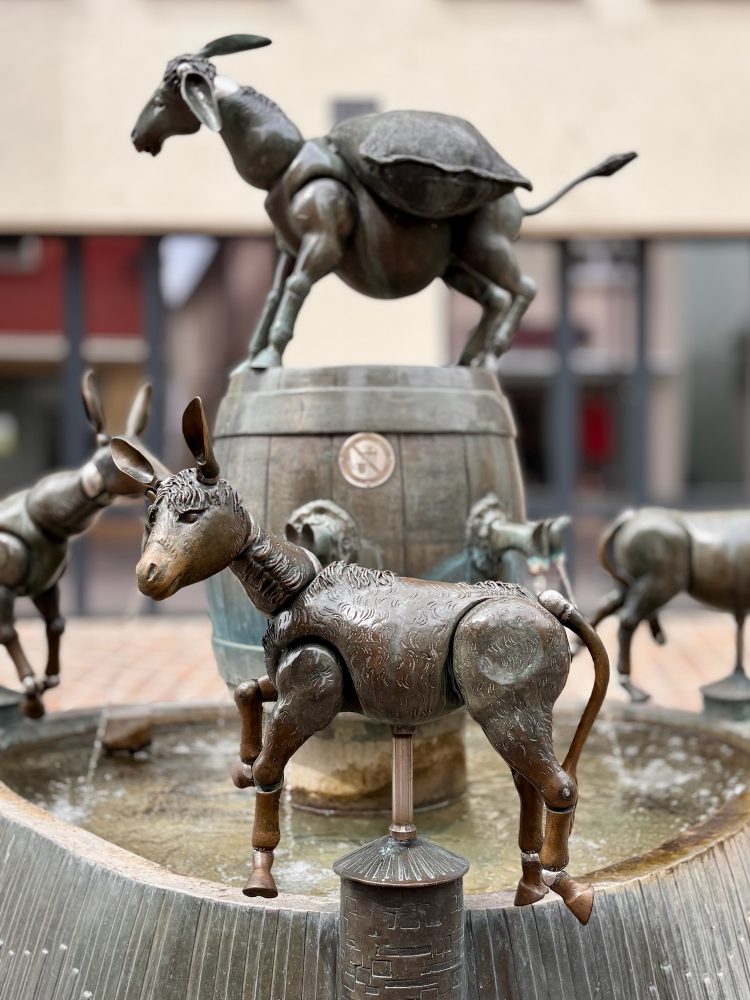
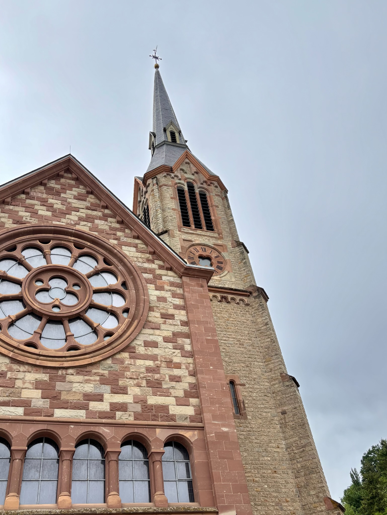
Our paths finally diverged in Diekirch. Whilst the participants of the Marche treated themselves to a cold beer or a foot massage (or hopefully both), I pressed on through the town, past its trademark Dikrecher Iesel (donkey) sculpture and the neo-Gothic Église Saint-Laurent.
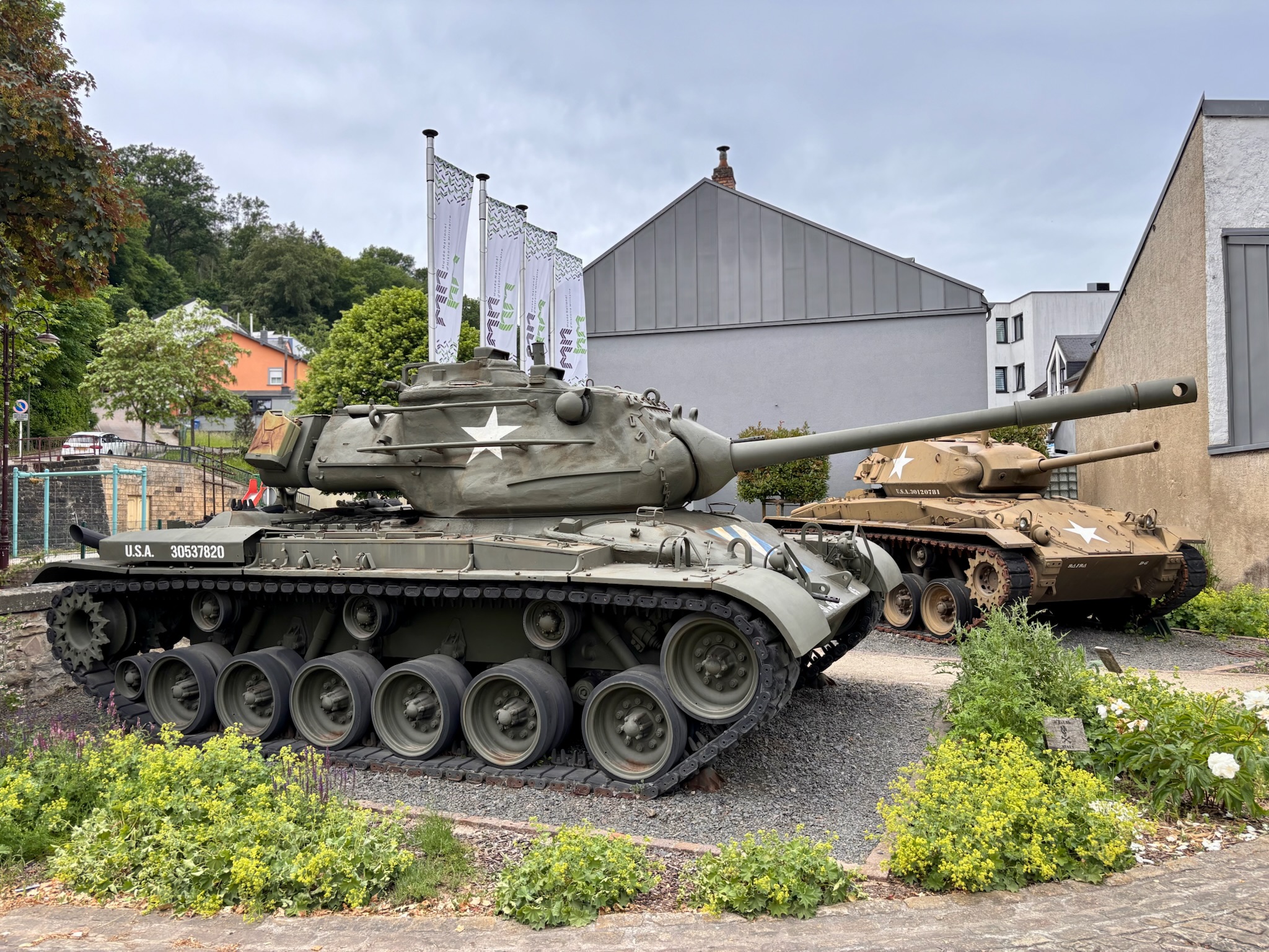
At the National Museum of Military History (which I am ashamed to say I have never visited…) the path took an unexpected turn to the right and then started to do something it had failed to consider in the previous five kilometres: it started to climb. The path was very atypical: narrow and overgrown, like a secret short cut rising steeply over the rooftops and gardens of Diekirch, far removed from the wide-open valley.
But the effort was worth it, with a splendid view over the town waiting for me at the top.

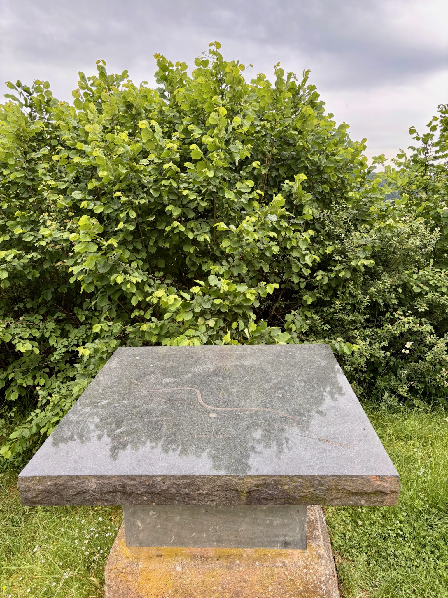
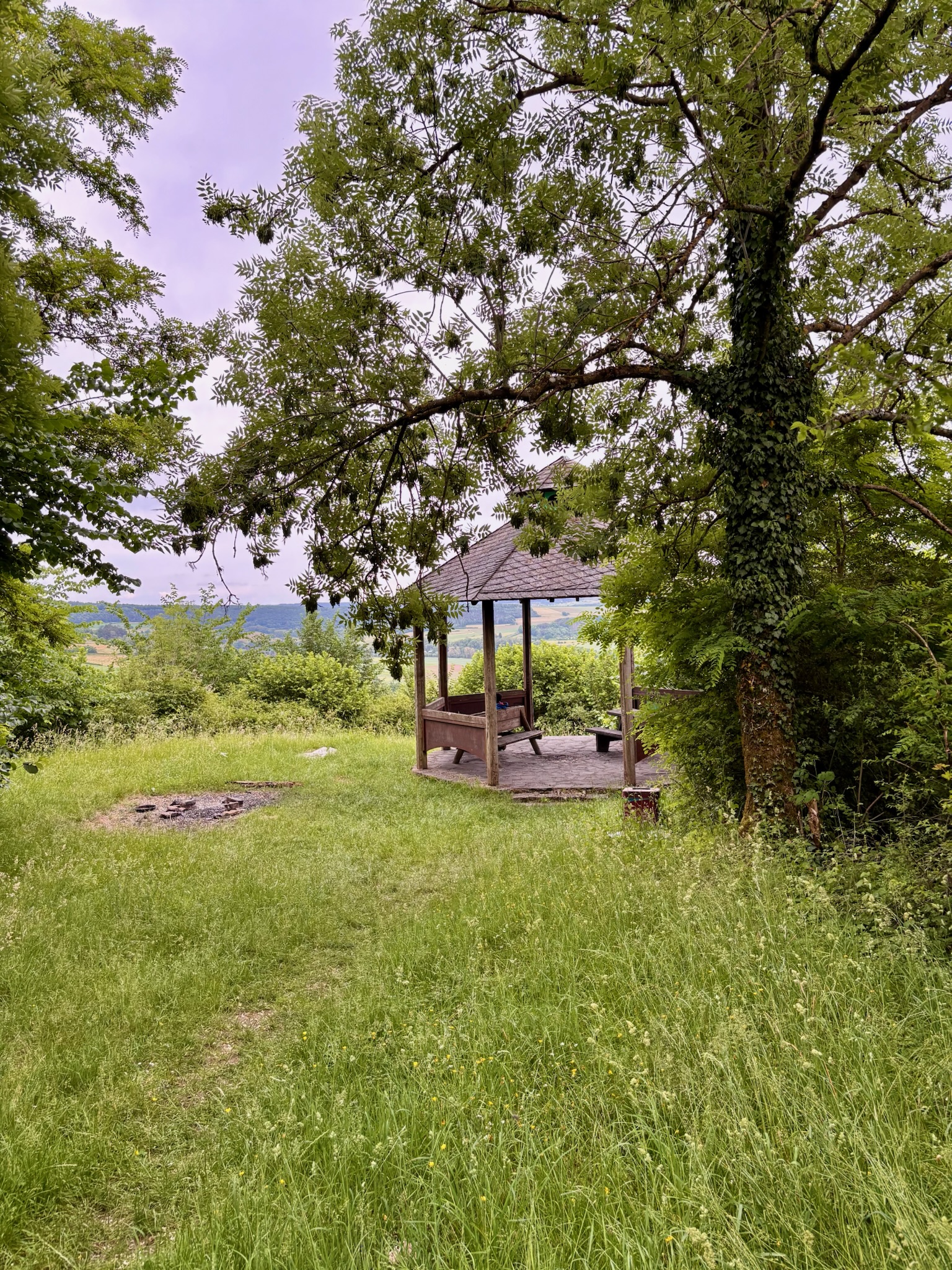
The trail continued along a contour of the Gaalgebierg (wait… isn’t that near Belvaux?). A temptress signpost lured me into taking a short, steep deviation to the top of the hill itself, where a viewpoint was promised. Unfortunately, this detour proved almost entirely pointless, the panorama having long since disappeared behind trees. The only notable features were a pleasant pavilion and a young gentleman simultaneously enjoying al fresco video games and recreational chemistry.
I returned to the main path underwhelmed.
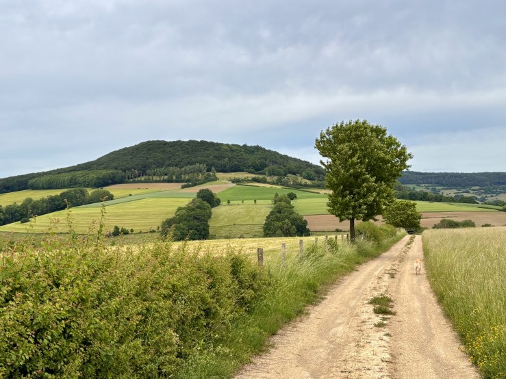
Ironically, the views were actually much better the further I got from the viewpoint. The landscape opened out into fine meadowland, slowly dipping down towards the Sûre valley, where the ant-like figures of straggling “Marche Internationale” participants were still trudging their way towards Diekirch.
I crossed the Sûre, walked through the village of Gilsdorf and started to climb. Half-way up, a butterfly the size of a bat landed on my shoulder. I raised my phone for the most epic hiking selfie in history, but it fluttered off towards the woods before I could click the shutter.
It’s a surprisingly heavy slog, the climb up to the Schoofsbësch. I didn’t mind, though, because this is a beautiful corner of Luxembourg, effortlessly more attractive than anything previously seen on this trail. Altitude achieved, the path flattens out through picture-perfect forest, the ground to the left tumbling down towards the Sauer and to the right rising equally as steeply with Mullerthal-style rocks.
With nowhere to go either side, I let the dog off his lead, and he happily bounded along behind me, perhaps tiring slightly, finally showing his age.
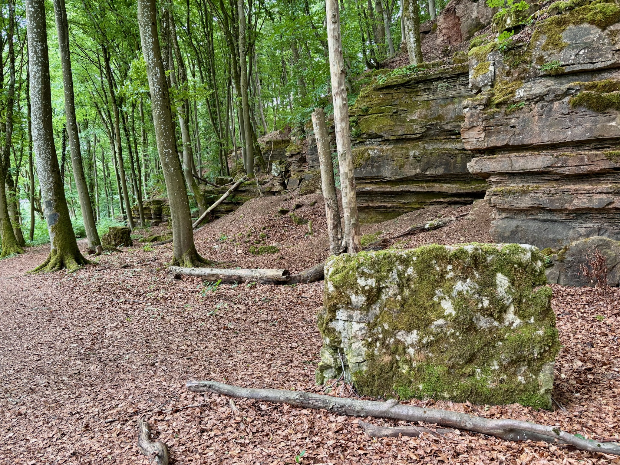
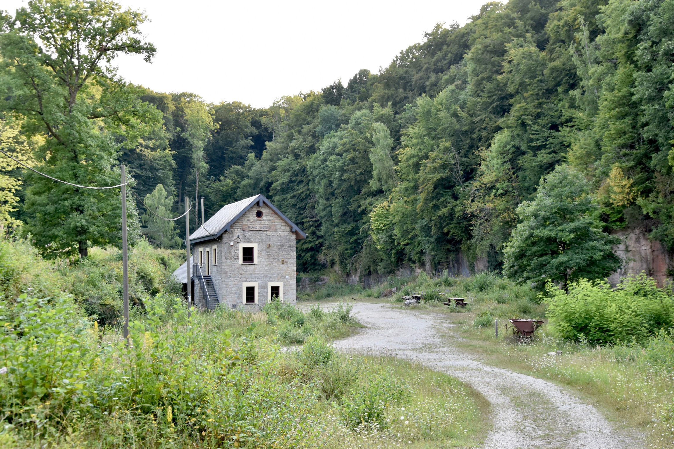
Eventually the trail gently corkscrews and opens out into the “Naturschutzgebiet Carrière de Bettendorf – Schoofsbësch“, a typically Luxembourgish mix of languages. A sign told me to clip the dog back onto his lead; he wasn’t impressed.
Now, as a rule, I don’t like to be grumpy in my blog. But what came next really annoyed me.
Turns out that the Sentier Adrien Ries (Est) doesn’t go into the Schoofsbësch quarry after all.
As I mentioned right at the beginning of this post, this nature reserve is the undoubted highlight of this corner of Luxembourg. A photo of it is even featured on the official Visit Luxembourg page for this trail. Yet somehow the route leads hikers right up to the entrance, then turns away.
It’s a bit like being led to the open door of a magnificent palace and being instructed to admire the hinges.
The decision is baffling. The trail is already 14km long. Adding a short loop through the quarry would barely have changed the distance, but would have transformed the overall quality of the hike. Instead, visitors are potentially missing out on one of the most fascinating landscapes in eastern Luxembourg.
To give you an idea of what you miss by faithfully following the official route, here are a few photographs from the excellent Eislek Pad Gilsdorf, which does pass through the old quarry:
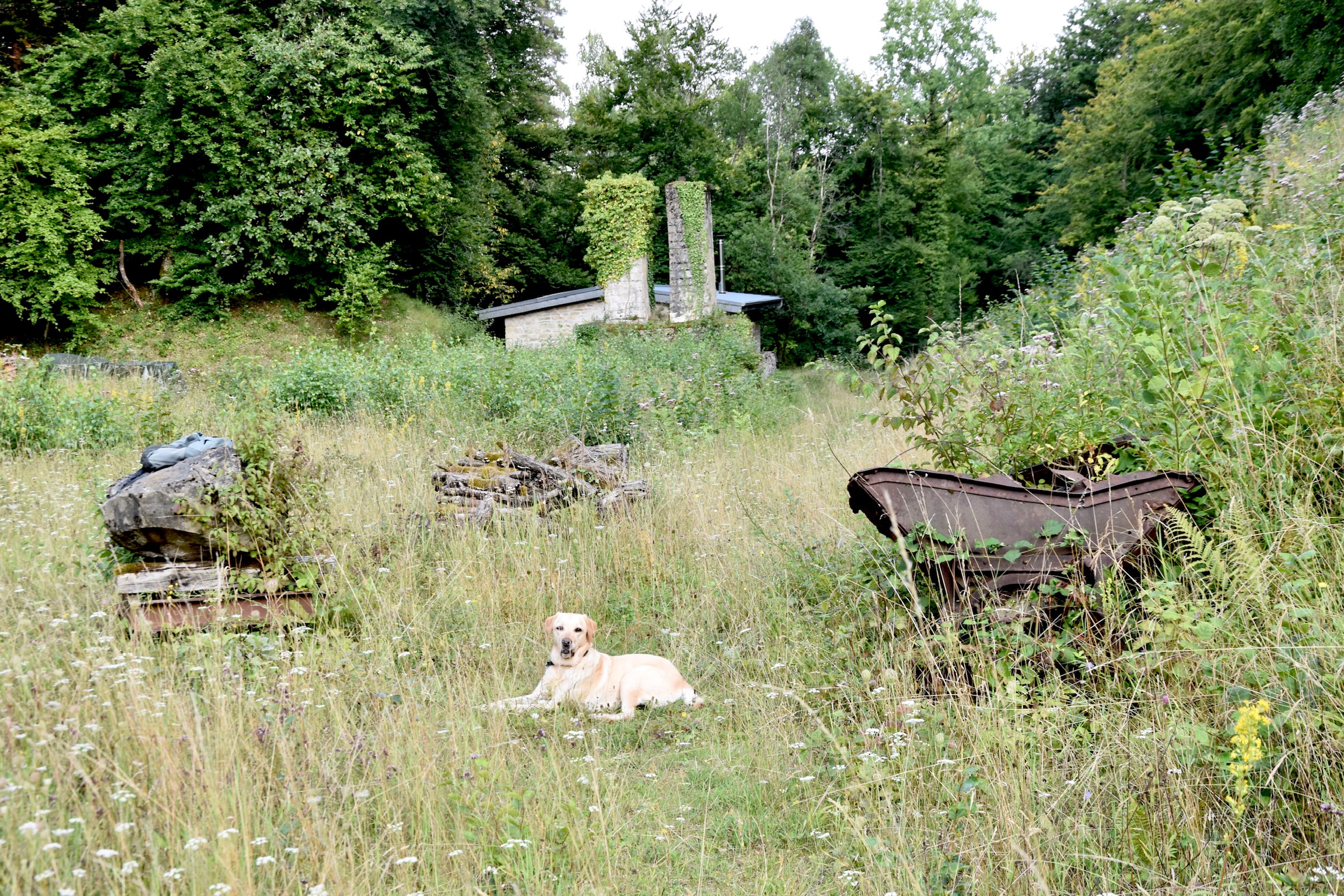


Refusing to be denied by poor trail planning, I paused my GPS and took a quick run around the quarry (yep, still gorgeous) before returning to the official path and plodding back to Bettendorf.
On the way, I passed the exact spot where I abandoned my first attempt on this hike.
Not a soul in sight.
No one to hear me muttering to myself about how this trail, though perfectly fine, could have been a lot better.
(c) 2026 Jonathan Orr
Link to my Komoot track: Sentier Adrien Ries – East | randonnée pédestre | Komoot
