
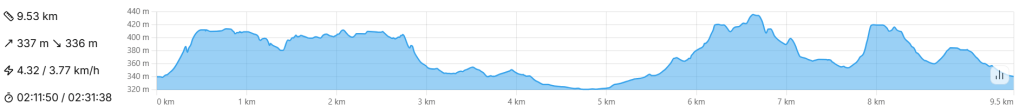
- 10km – Intermediate – 2-3 hours
- Up, up and over four distinct hills in the Belvaux / Soleuvre area, with interludes through typical Minett urban corridors.
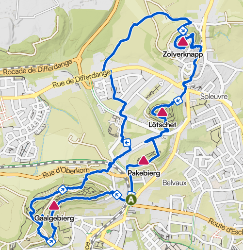
- Park at 7, rue de Soleuvre, Belvaux.
- By bus: Belvaux Gemeng.
I do love a hiking trail with a distinct purpose. You know, the type of trail that leads to the gates of a hidden castle, around a lake, or to the best viewpoint for miles around.
For the Auto-Pédestre Belvaux, that purpose is hill climbing.
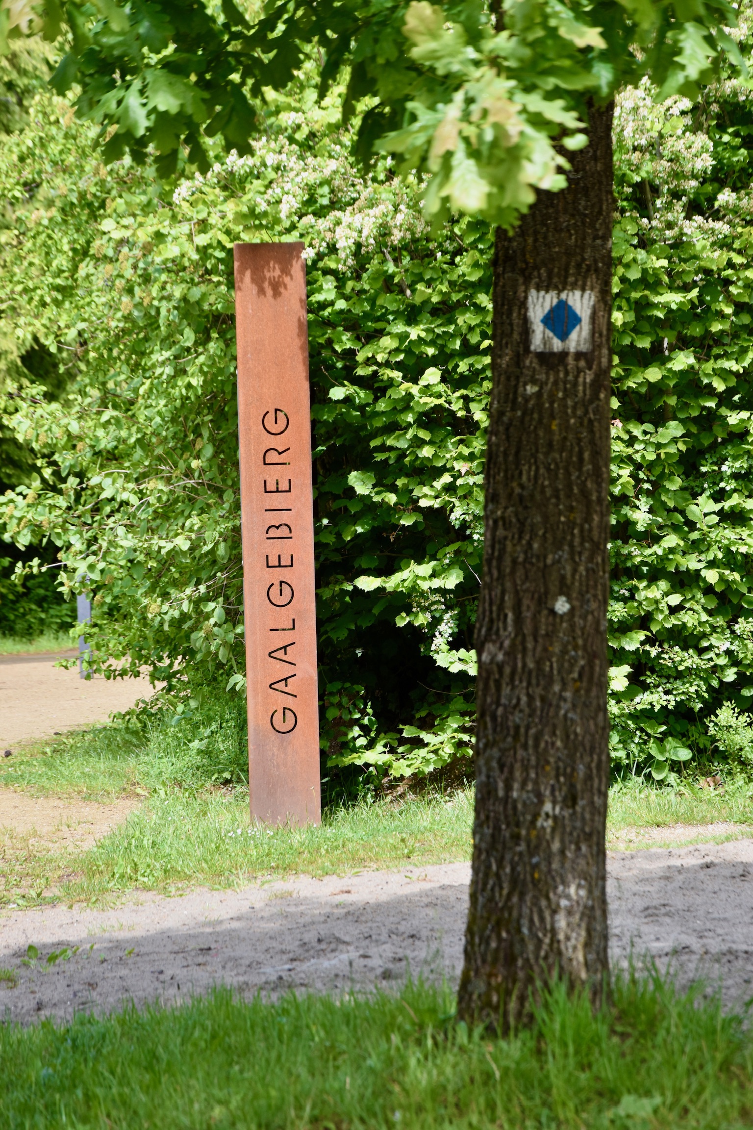
Four hills, to be precise – Gaalgebierg, Pakebierg, Lötschet and the distinctive Zolwerknapp – all lined up in a sweeping curve between Soleuvre and Belvaux. OK, so none of them are exactly alpine, but together they provide a unique little physical challenge, adding some spice to an otherwise ordinary tour of this corner of the Minett.
Let’s climb!
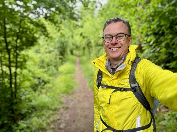
At the car park in Belvaux, the sky was black and my jacket – hastily borrowed from my girlfriend – was a disturbingly luminous yellow. I set off anyway, the route almost immediately starting to climb up the first hill of the day, the Gaalgebierg. The views back down over Belvaux and the post-industrial skyline of Belval are genuinely impressive, but the thick raindrops now beading down the canary raincoat meant that the camera stayed snugly in my bag.
The first kilometre of the trail was a feast for the senses: the physical effort of the climb, cold rain needling my face, baby birds cheeping from inside a dead tree, folk music drifting eerily over the rooftops (never figured out where that was coming from…) and the unmistakable smell of sausages and burgers grilling on barbecues. (I have to hand it to the people of Luxembourg: barbecuing on a public holiday is a god-given right in this country, whatever the weather.)
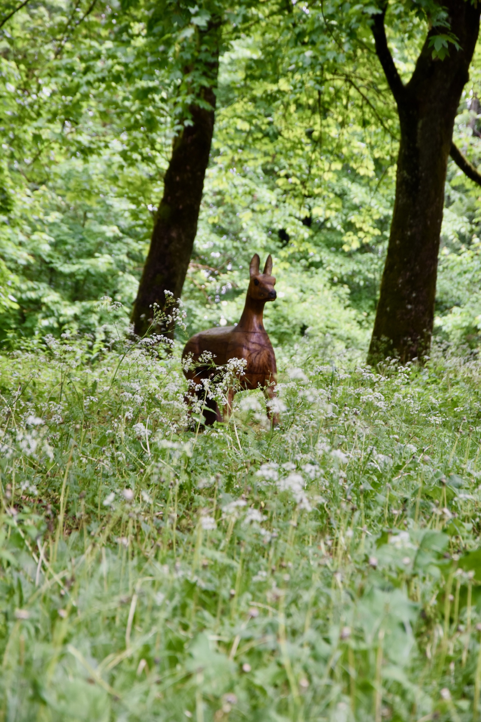
The rain stopped abruptly as I approached the “summit” (about 400m altitude), followed by unexpectedly bright sunshine. Due to the weather, the recreational area at the top of the Gaalgebierg was completely empty save for one hardy, damp-looking soul stoically munching a home-made sandwich in a patch of sun. I left with the impression that this must be a beautiful spot in better weather, with a huge playground, grassy expanses, pristine toilets and red-earth trails running in every conceivable direction.
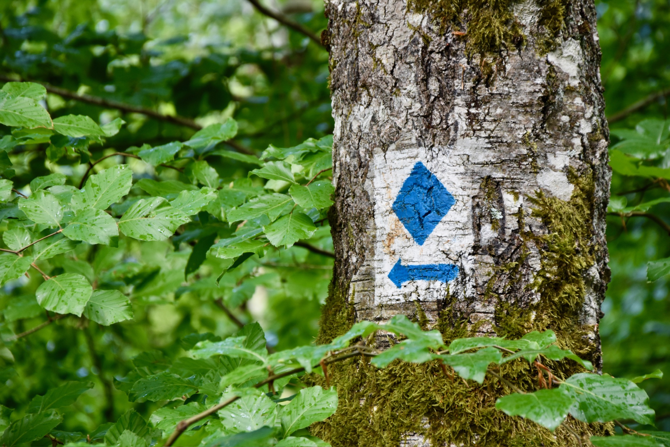
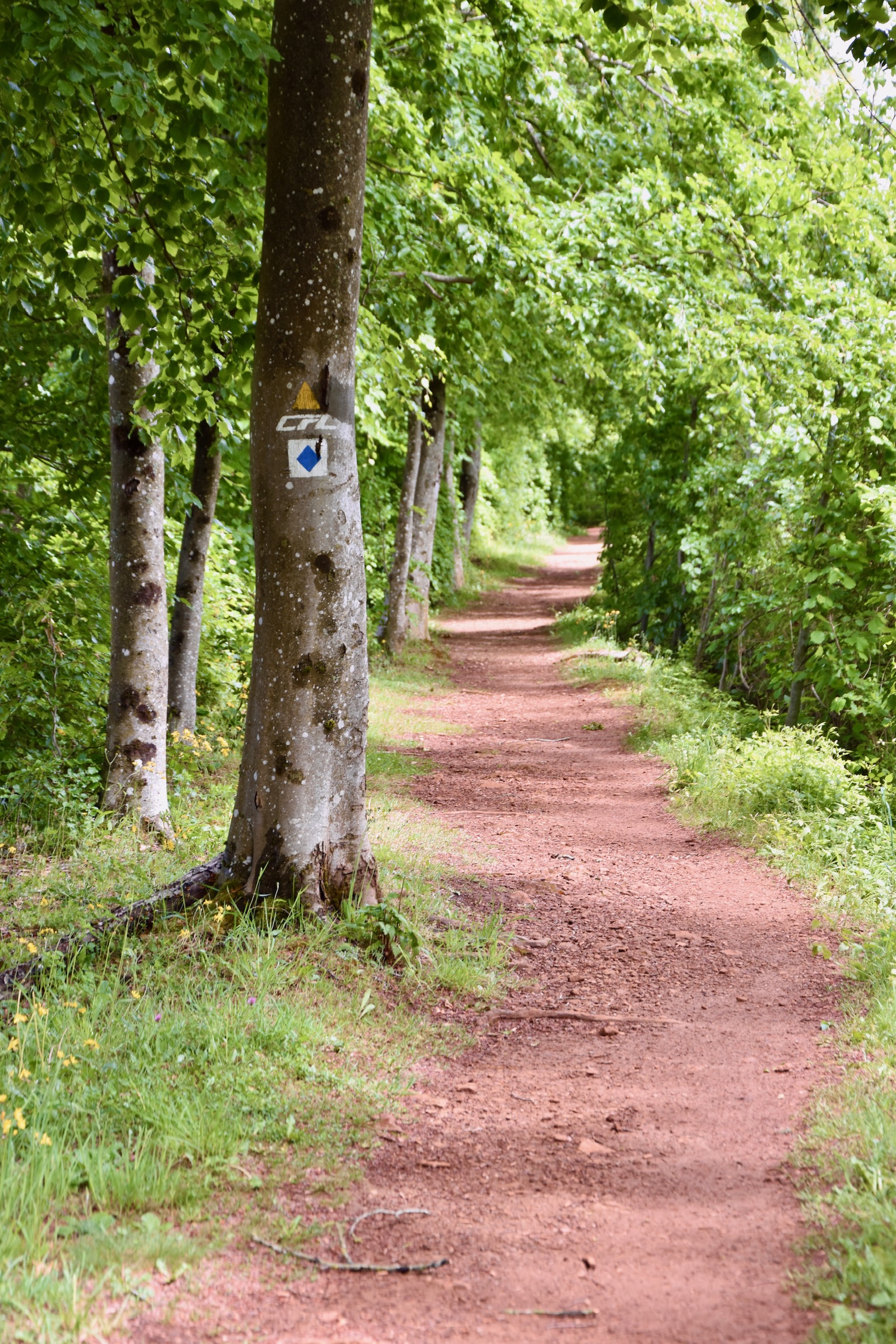
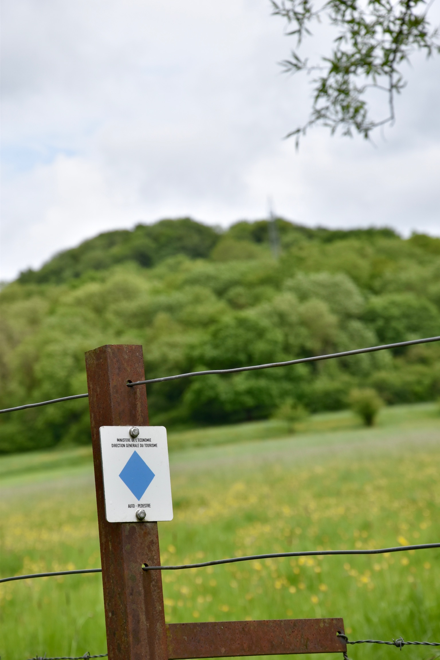
TIP: Although the AP Belvaux is generally well signposted, there are so many junctions, crossing paths and directional choices that it is surprisingly easy to miss a turning if your attention drifts, particularly up on the Gaalgebierg. (I managed to get lost no fewer than three times during the trail). Concentration is required here, and I also advise taking a copy of the map with you from the 2025 Auto-Pédestre Guide.
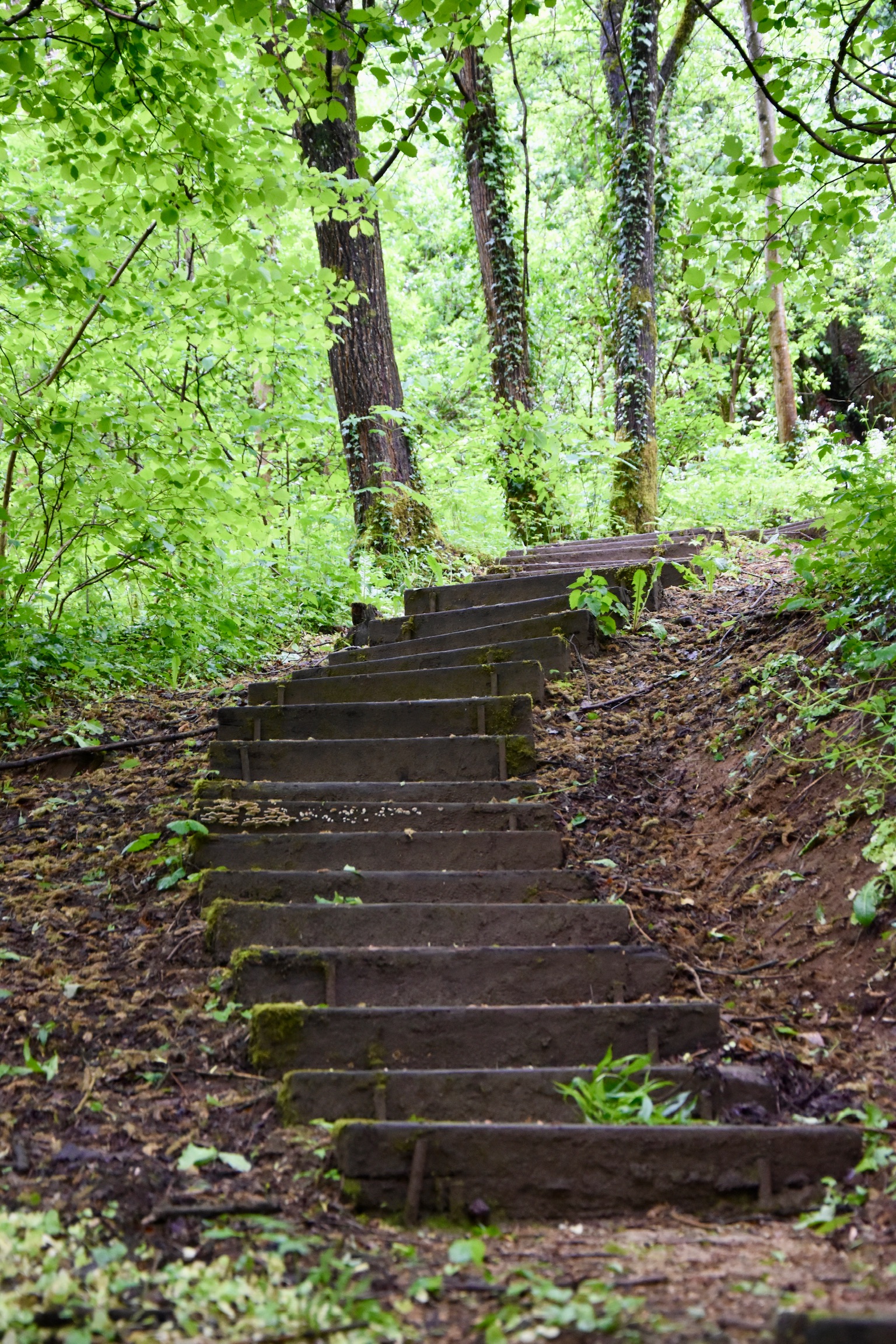
You descend from the Gaalgebierg into an unremarkable middle section of the hike, through urban sections and crossing roads, railway lines, suburban streets and parks. It’s not unattractive exactly – in fact, there is something rather pleasant about the lived-in ordinariness of this part of southern Luxembourg – but it lacks the character of the hill sections before and after.
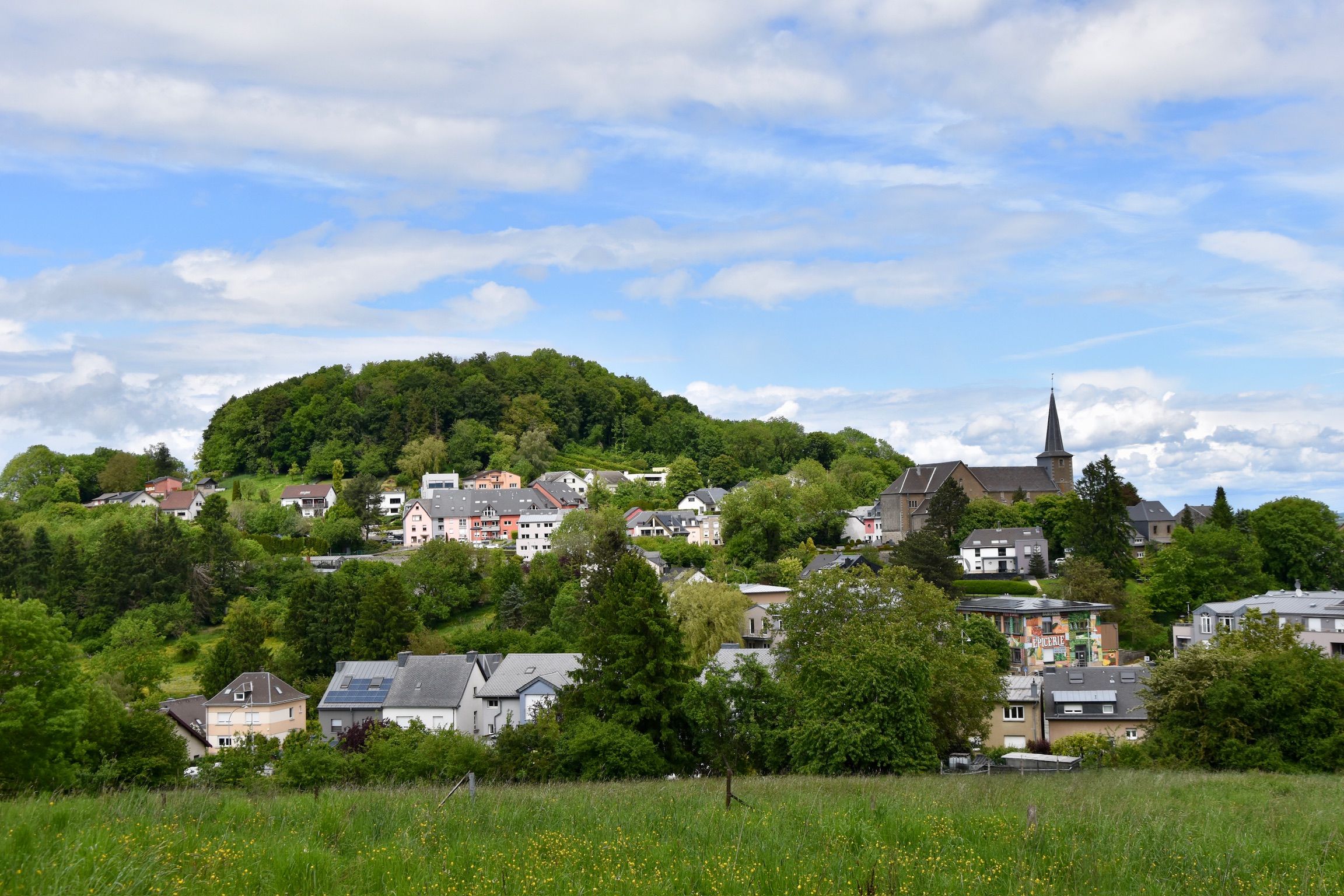
Turning right off a fairly major road in Soleuvre, the trail leaves the town and leads you through grassy countryside towards the main attraction of the day – the Zolwerknapp.
I enjoyed this section a lot. Luxembourg does not often give you the simple pleasure of spotting a distinct summit ahead and steadily walking towards it. In my native Ireland, almost every hike I went on was towards some sort of distant peak, a tangible goal that gave the hike a purpose. Here, it feels rather unusual, and the approach to the Zolwerknapp is one of the few places in the Grand-Duchy that gives this experience.
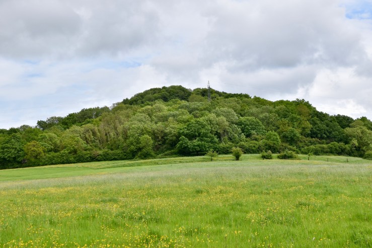
Rather oddly, having led you almost all of the way up the Zolwerknapp, the Auto-Pédestre Belvaux rather frustratingly decides not to go to the summit itself. At 422 metres, this is one of the highest points in southern Luxembourg – and certainly one of the most distinctive hills – and not celebrating this final push feels almost criminal. I wasn’t having it, so veered off the official trail and made my way up to the very top.
Where, of course, it began to rain again…
Standing at the summit reading an information board in the downpour, I learned something new. I had always thought that this prominent rise was a man-made affair, a spoil heap created by decades of mining in the Minett region. But it turns out that I was wrong: the Zolverknapp is, to my enormous surprise, completely natural. It once hosted defensive earthworks (like a rudimentary fort), taking advantage of its commanding position above the southern approaches.
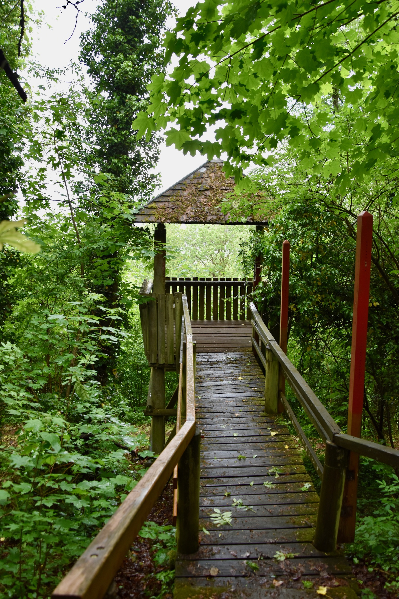
The rain was falling heavily by now, so I tried to find shelter by scrambling down a steep slope, then into a surprisingly grand pavilion-type structure which probably once had a magnificent view, now obscured by trees. I took my last biscuit out of my rucksack, took a bite… and promptly dropped half of it on the floor. Ten seconds later, a red squirrel appeared at the edge of the shelter, not two metres away from me, eyes fixed on its biscuity prize. Unfortunately, it now also spotted me, and froze. A game of statues ensued, but I twitched first and lost; the squirrel got spooked and ran down the steps of the shelter, its soggy bushy tail disappearing into even soggier bushes. I do hope it came back later to grab its treasure.
Eventually the rain eased enough for me to continue. Three-quarters of the trail had been completed by now, but only half of the four hills. From the Zolverknapp, the Auto-Pédestre descended in slippery conditions to the centre of Soleuvre (which always takes me about ten attempts to spell correctly) before rising almost immediately out of it towards the third hill – the unpronounceable Lötschet.
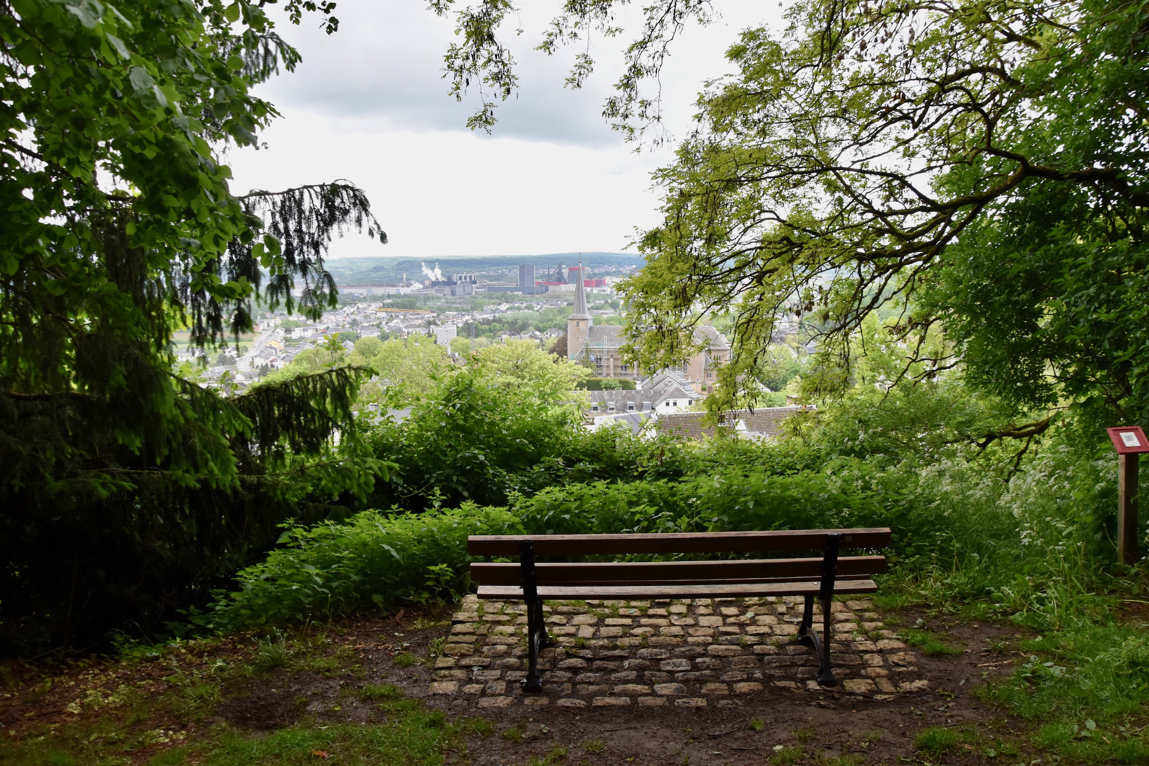
TIP: As you begin to climb the Lötschet, look behind you: there’s a wonderful view over Soleuvre nestled on the slopes of the Zolverknapp.
Once again, the trail frustratingly skirts the summit of the hill rather than crossing it, but since this one is a mere 396m, I didn’t argue with the Auto-Pédestre routing team this time, carrying on through the forest and down once more into a typical semi-urban (not really “suburban”) Minett valley.
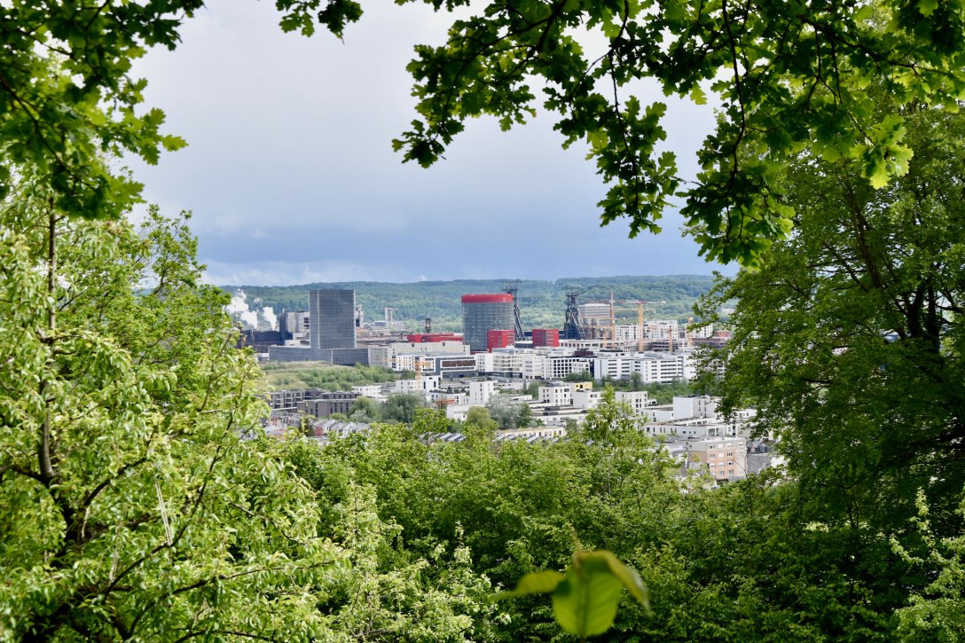
Predictably, I failed to spot the sign leading to the top of the fourth and final hill – the Pakebierg. I eventually found it but, really, I wouldn’t have missed much anyway: this one is the lowest of the four (384m) and consists of almost completely bland forest with a couple of telecommunications towers poking their heads above the canopy of trees. That said, the descent of the hill towards the starting point was rather pretty, with views over Differdange to the right and Esch to the left. A gap in the trees allowed one last naturally-framed photo to be taken over Belval, one final view of this fascinating region from one of the many hills that defines it.

Conclusion? If you want a wonderful hike in the Minett region, do the Minettswee in Tétange instead. But if you are looking for an unusual challenge, then tackling the four hills of the Auto-Pédestre Belvaux is a genuinely enjoyable way of spending an afternoon.
Enjoy!
All photos and text (c) 2026 Jonathan Orr
Link to my Komoot route here.

[…] though – despite the atrocious weather and a stand-off with a squirrel – was the Auto-Pédestre Belvaux: a 10km loop with climbs over four hills. As you can probably imagine, the views over Esch / Belval […]
LikeLike
[…] trail continued along a contour of the Gaalgebierg (wait… isn’t that near Belvaux?). A temptress signpost lured me into taking a short, steep deviation to the top of the hill […]
LikeLike